
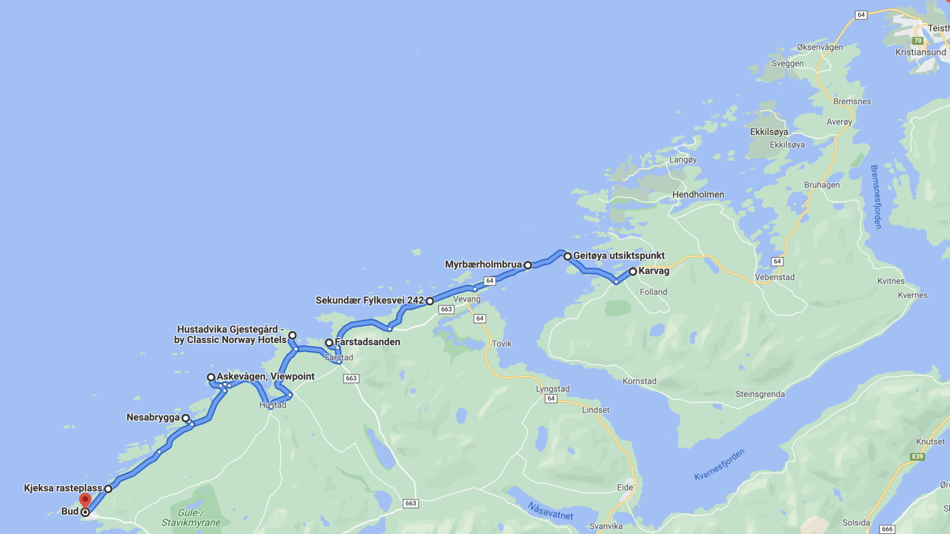
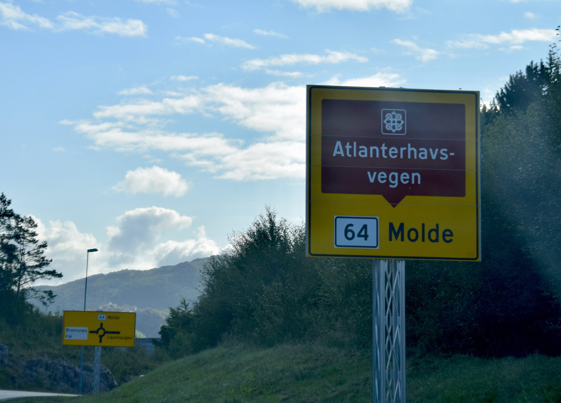
Norwegian Scenic Route – ATLANTERHAVSVEGEN – “the Atlantic Road” runs from Kårvåg to Bud – It follows the county roads; FV64, FV242, FV663, FV238 and FV235 and has a total distance of 36 km.
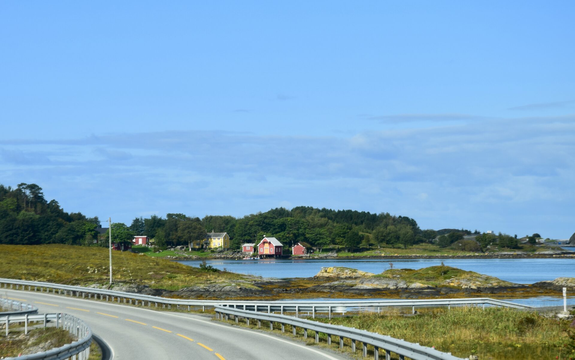
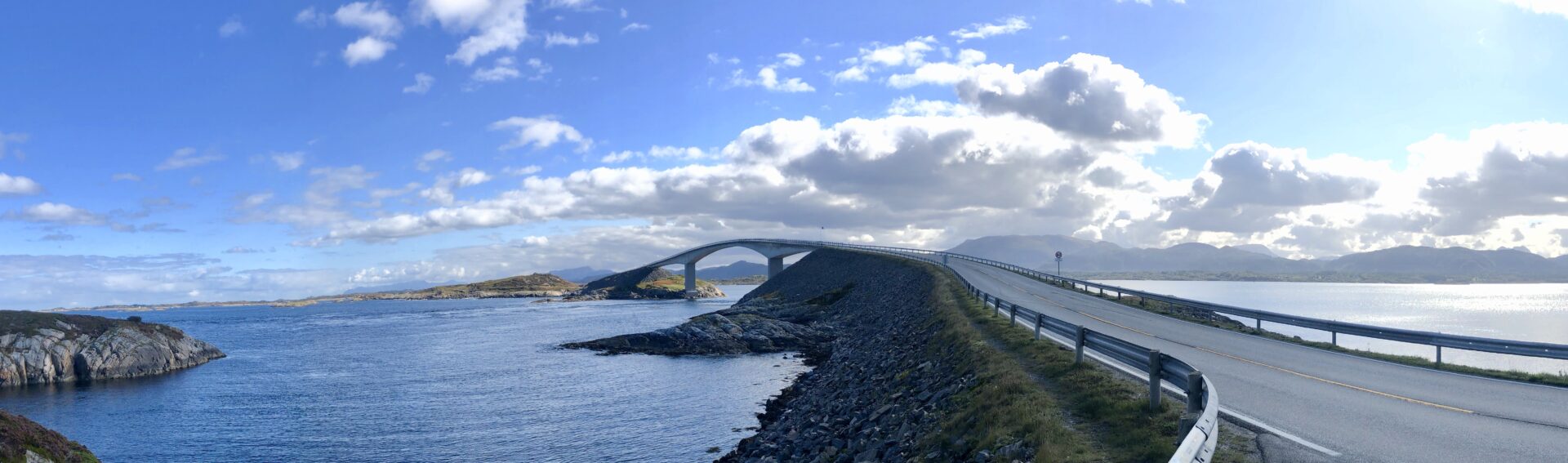
Atlanterhavsvegen – the Atlantic Road – curves elegantly from islet to islet over its seven bridges. The trip takes you from the fertile cultural landscape of the coast across moorland to bare crags along the weather-beaten, open bay of Hustadvika. This stretch is been described as the world’s most beautiful drive
MAIN STOPS
- GEITØYA – boat transfer to Håholmen
- ELDØYA – main recreation area
- MYRBÆRHOLMBRUA – with walking paths for fishing
- VIKAN GAMLE HANDELSTED – NESABRYGGA – The Old Vika Trading Post
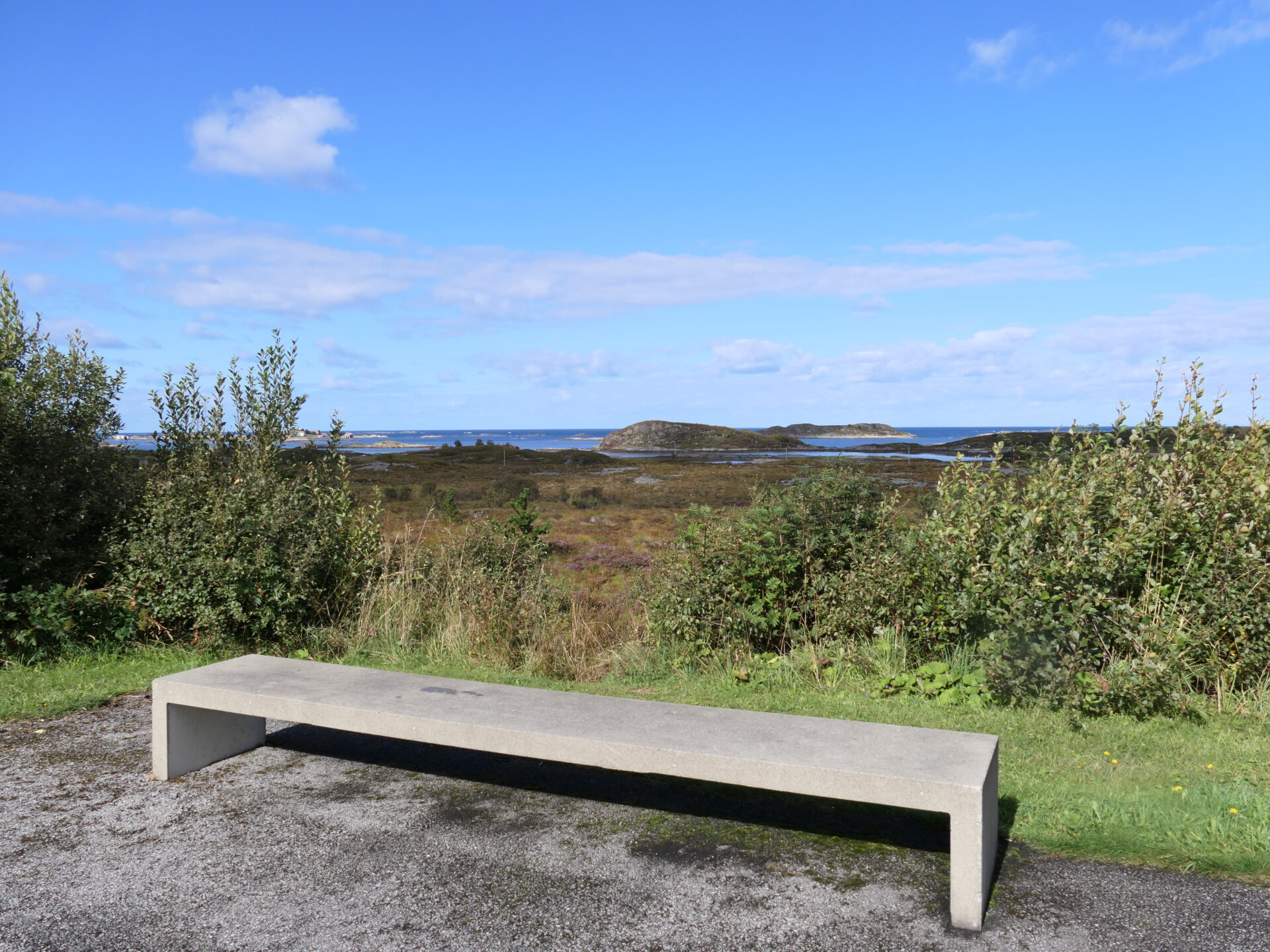
- KJEKSA – Rest area and viewpoint
- BUD – A fishing village with rich history
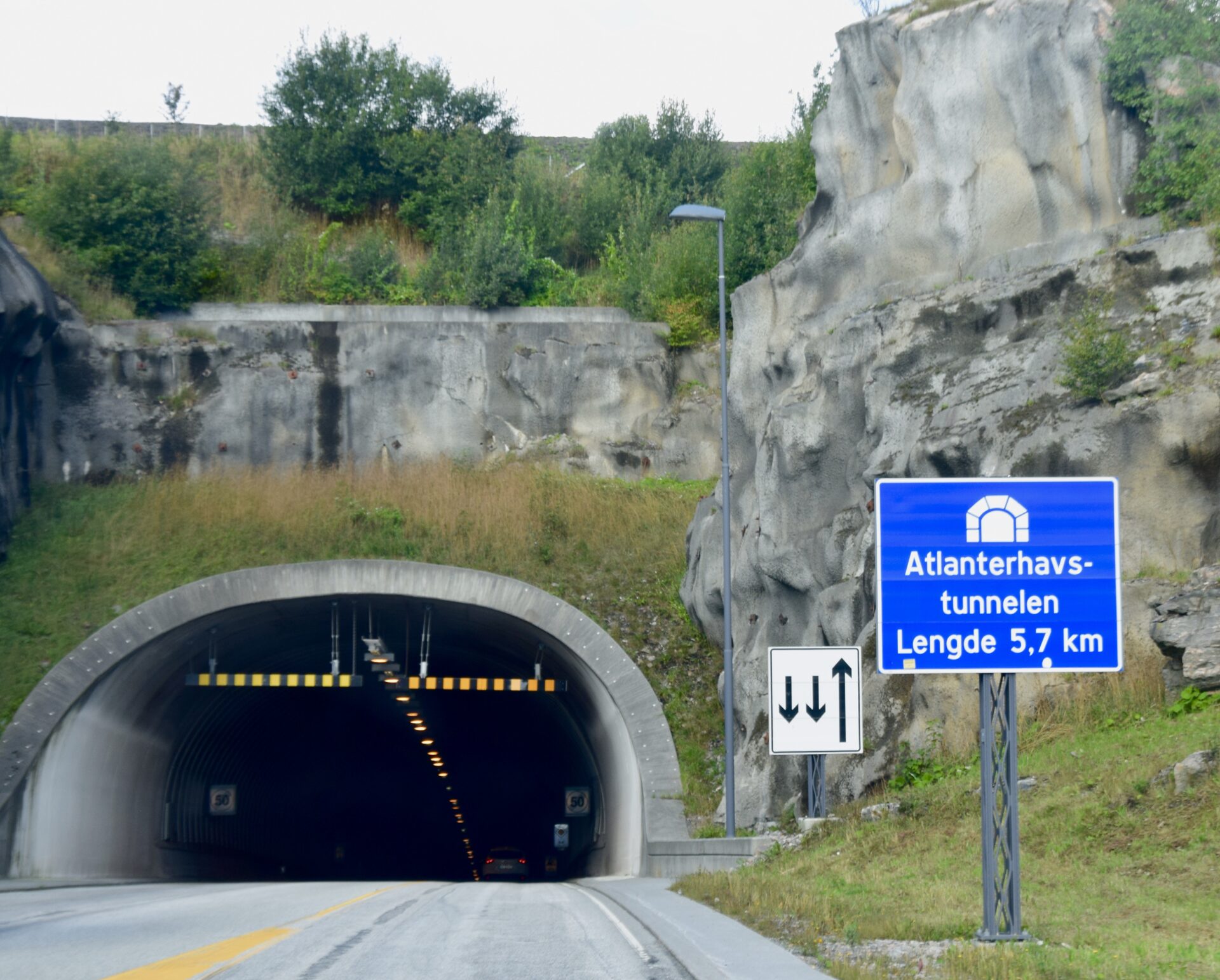
We startet this trip from Kristiansund. It was a beautiful sunny day at the beginning of September this year. It was a 35 min (30 km) drive to Karvåg, the start point of this scenic route.
The first bridge is Litle Lauvsund Bru of 115m – between the islets of Litlauvøya and Storlauvøya.
GEITØYA – boat transfer to Håholmen
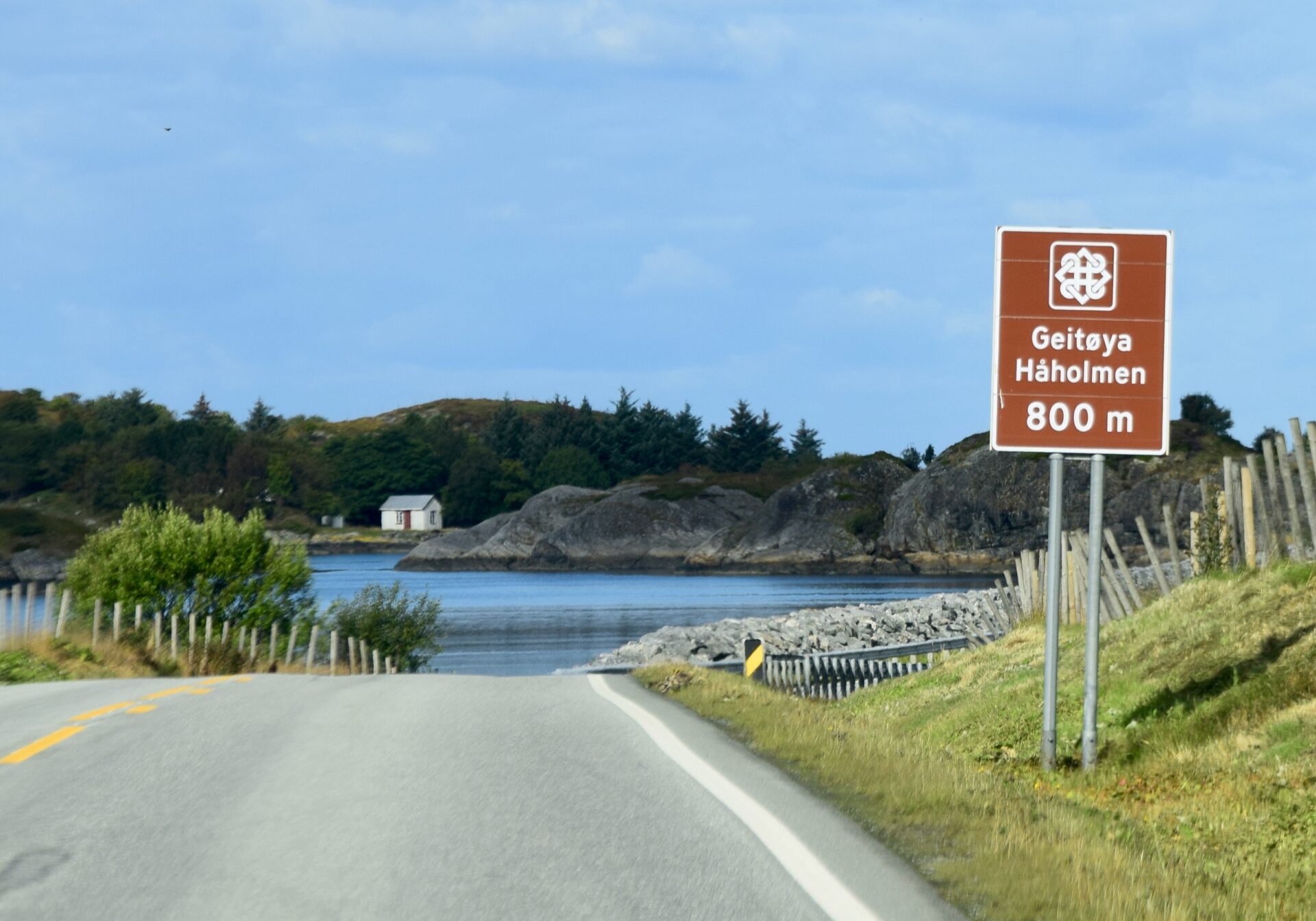
After Store Lauvøy, we came to Geitøya. The second bridge – Store Lauvøysund bridge (52 m) – connects these islands.
If you want to visit Håholmen, you can go by boat from Geitøya.
For hundreds of years, the fishing village Håholmen used to be a gathering place for fishermen, sailors, shopkeepers, merchants, and travellers. This beautiful, weather-beaten island has once again become an attractive meeting place for people. There is a popular accommodation called Håholmen Sea Cottages which consists of 25 buildings, including the main building, meeting rooms, hotel rooms, a pub, a restaurant, and a museum of the Viking sailing of the adventurer and former owner, Ragnar Torseth.
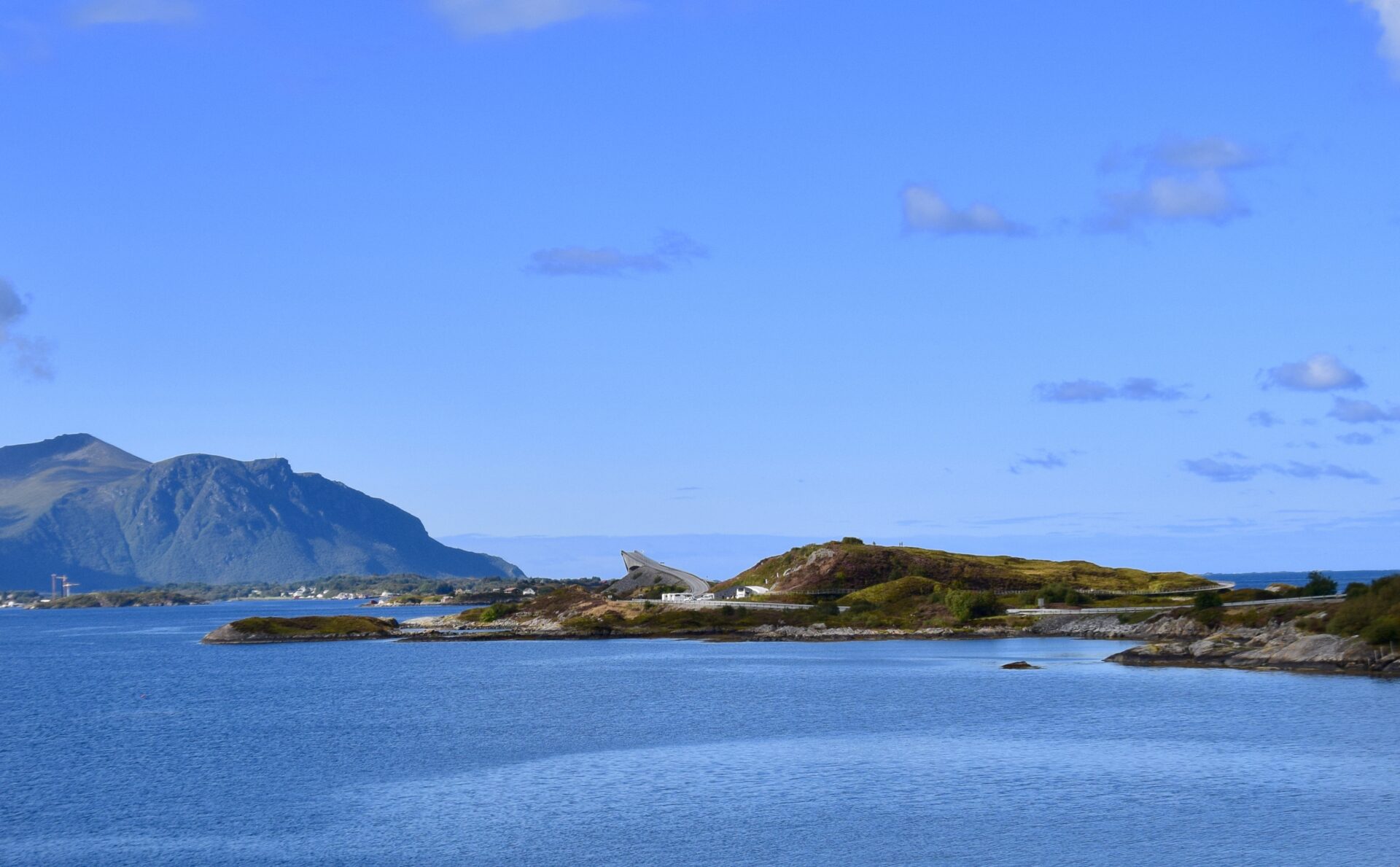
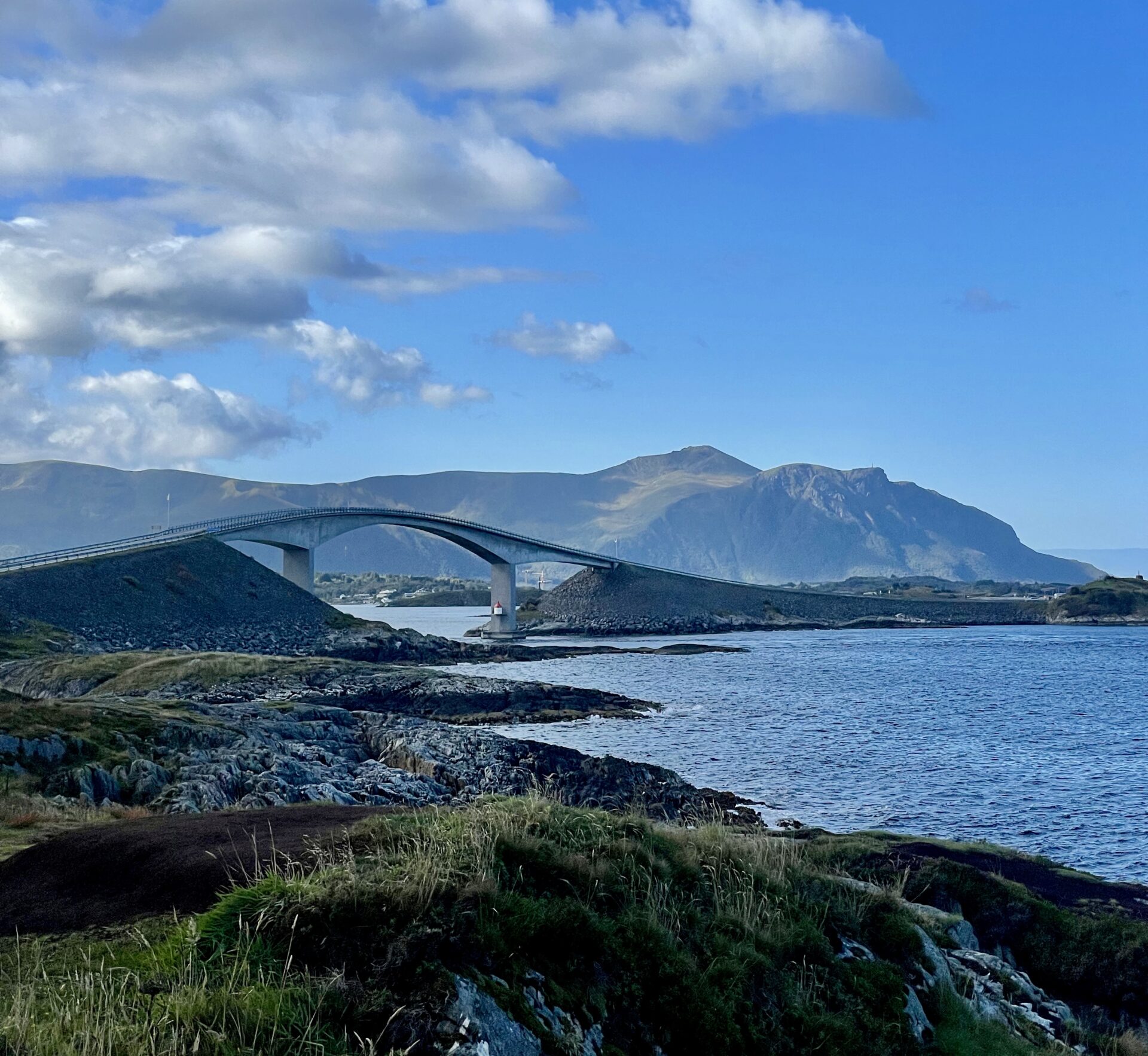
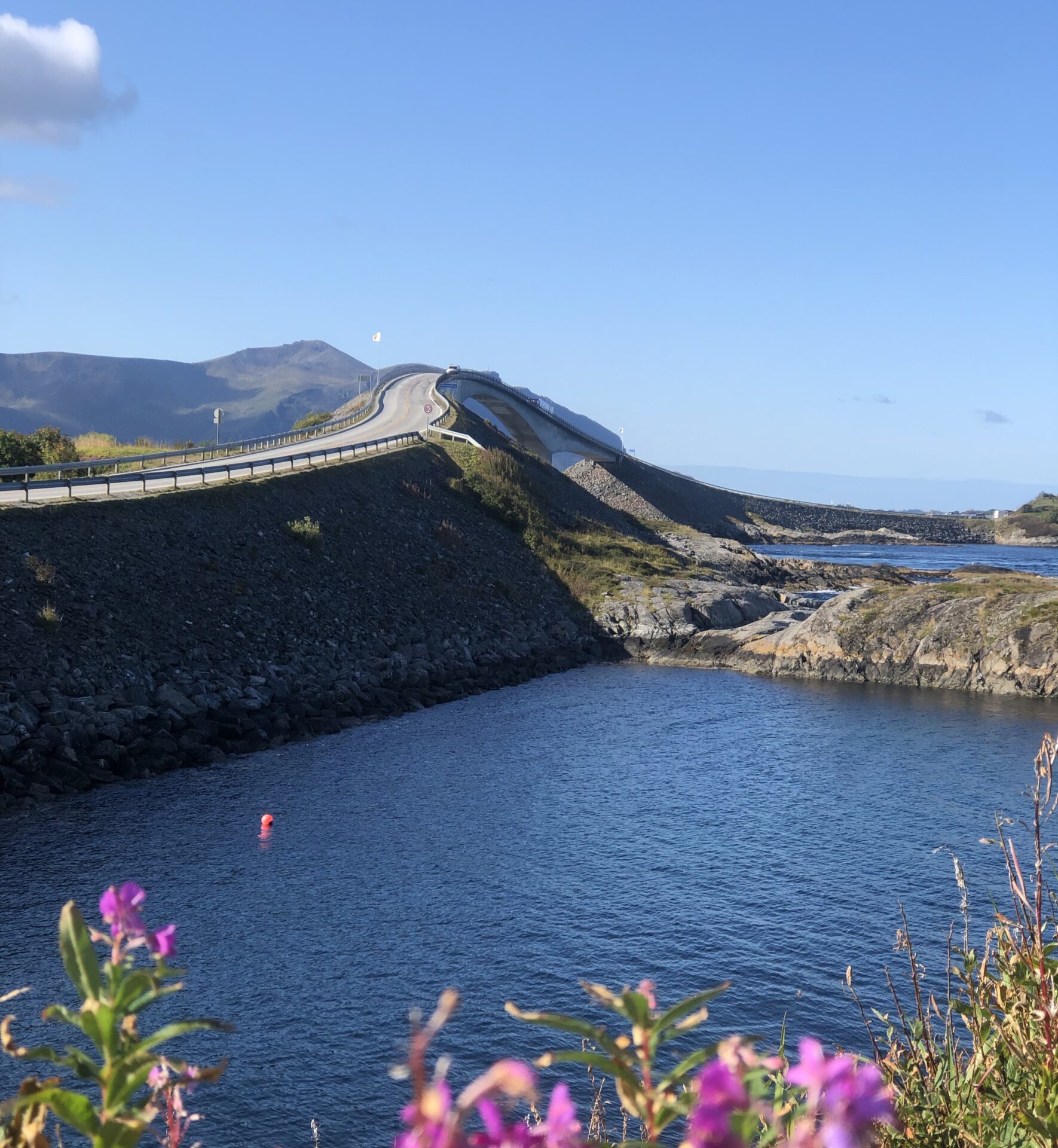
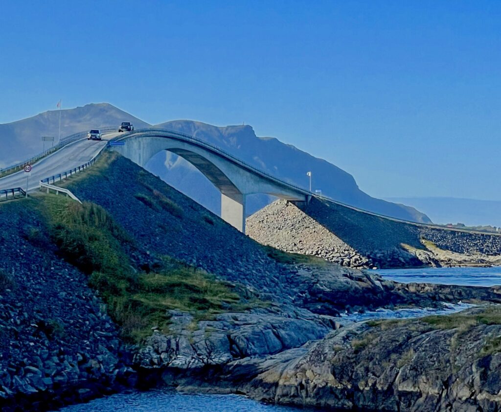
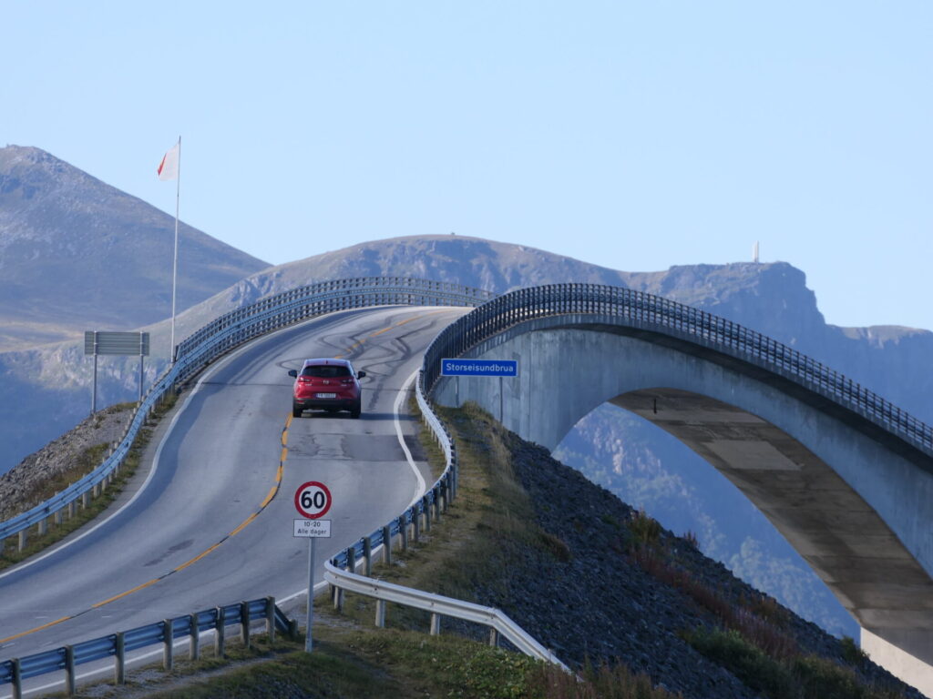
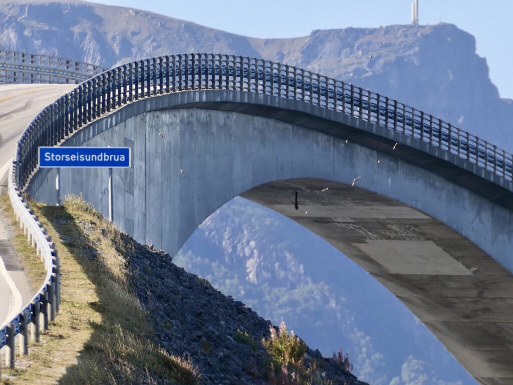
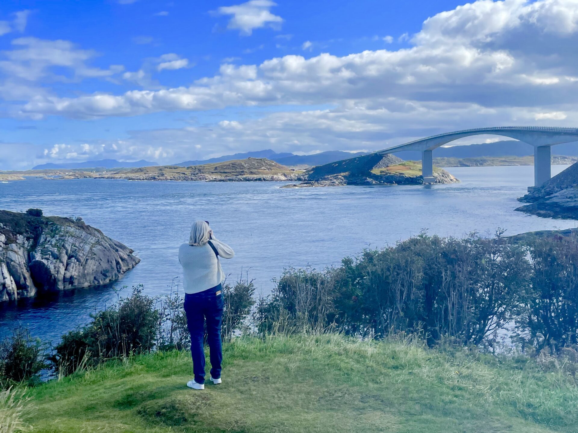
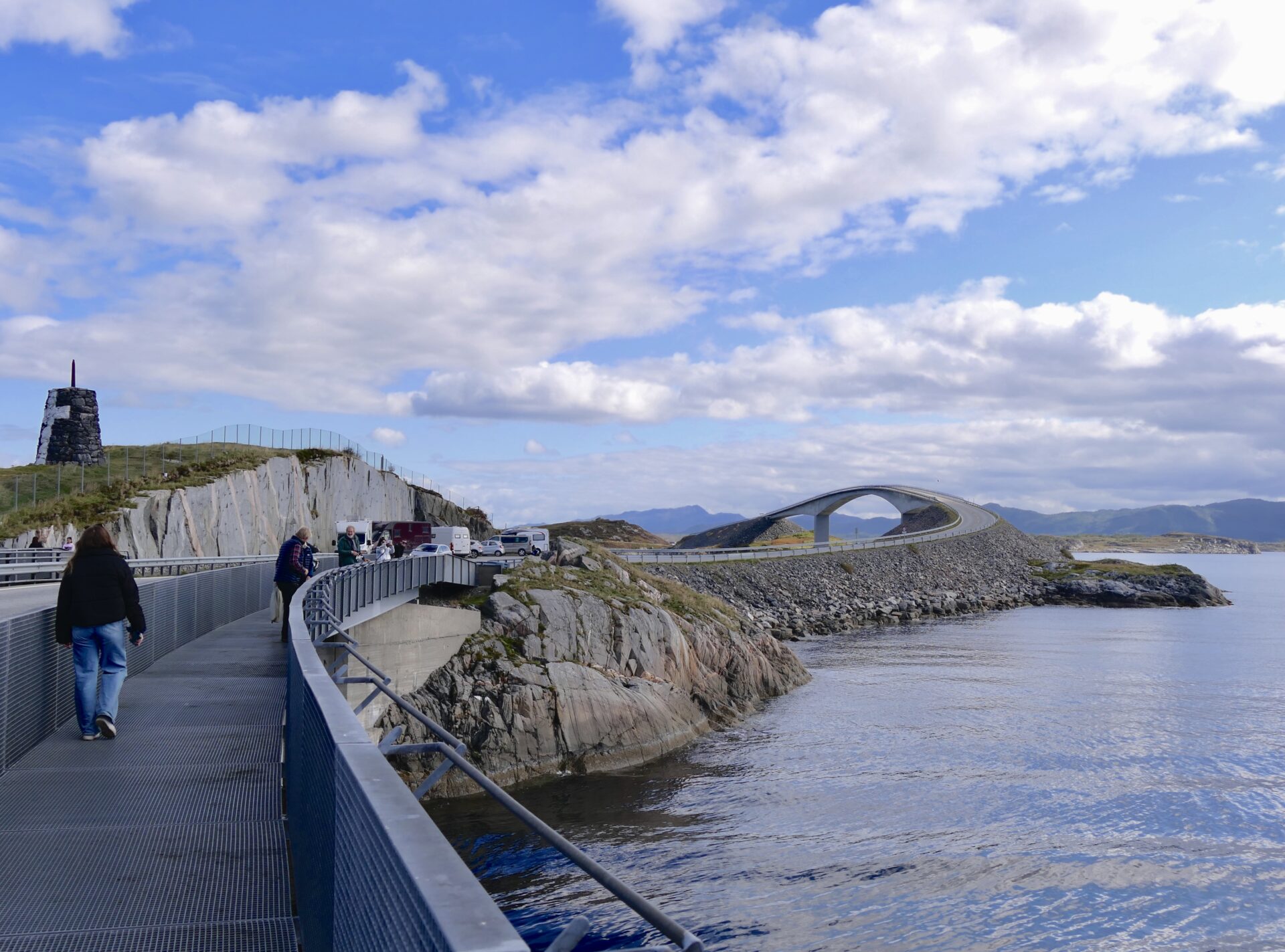
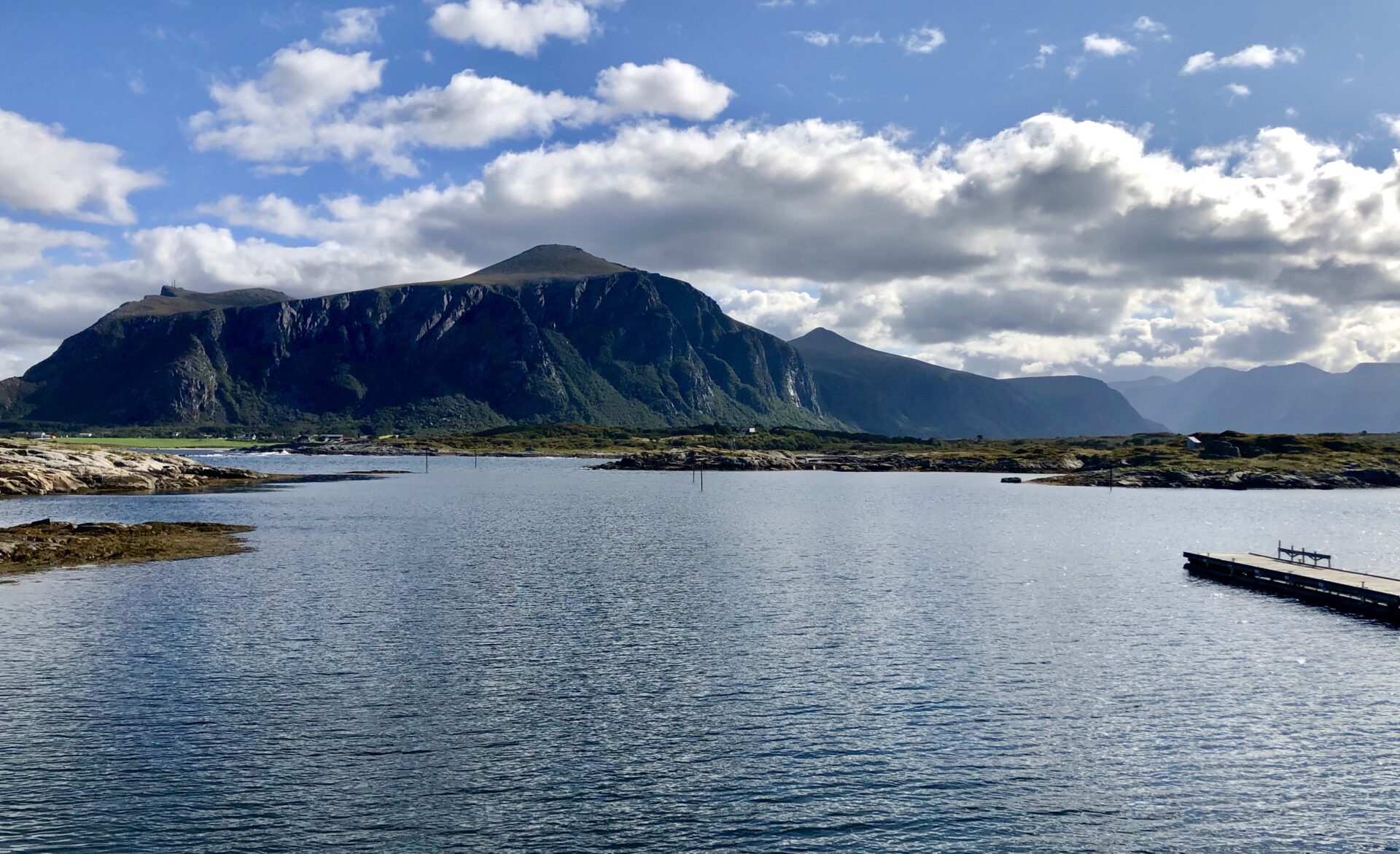
From one of the parking lots at Geitholmen, there is an excellent view of the following more impressive bridge – Storseisundbrua.
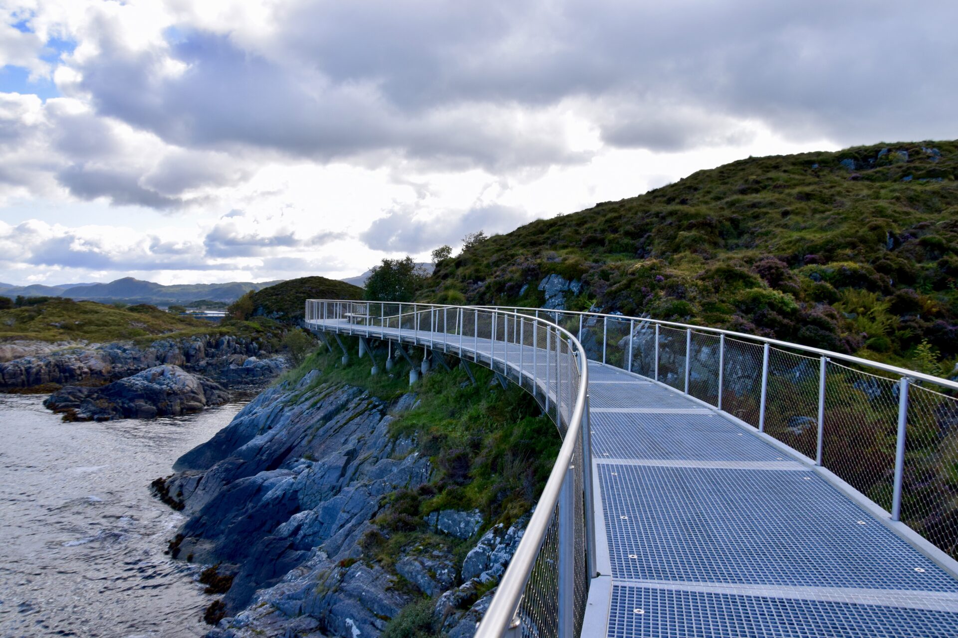
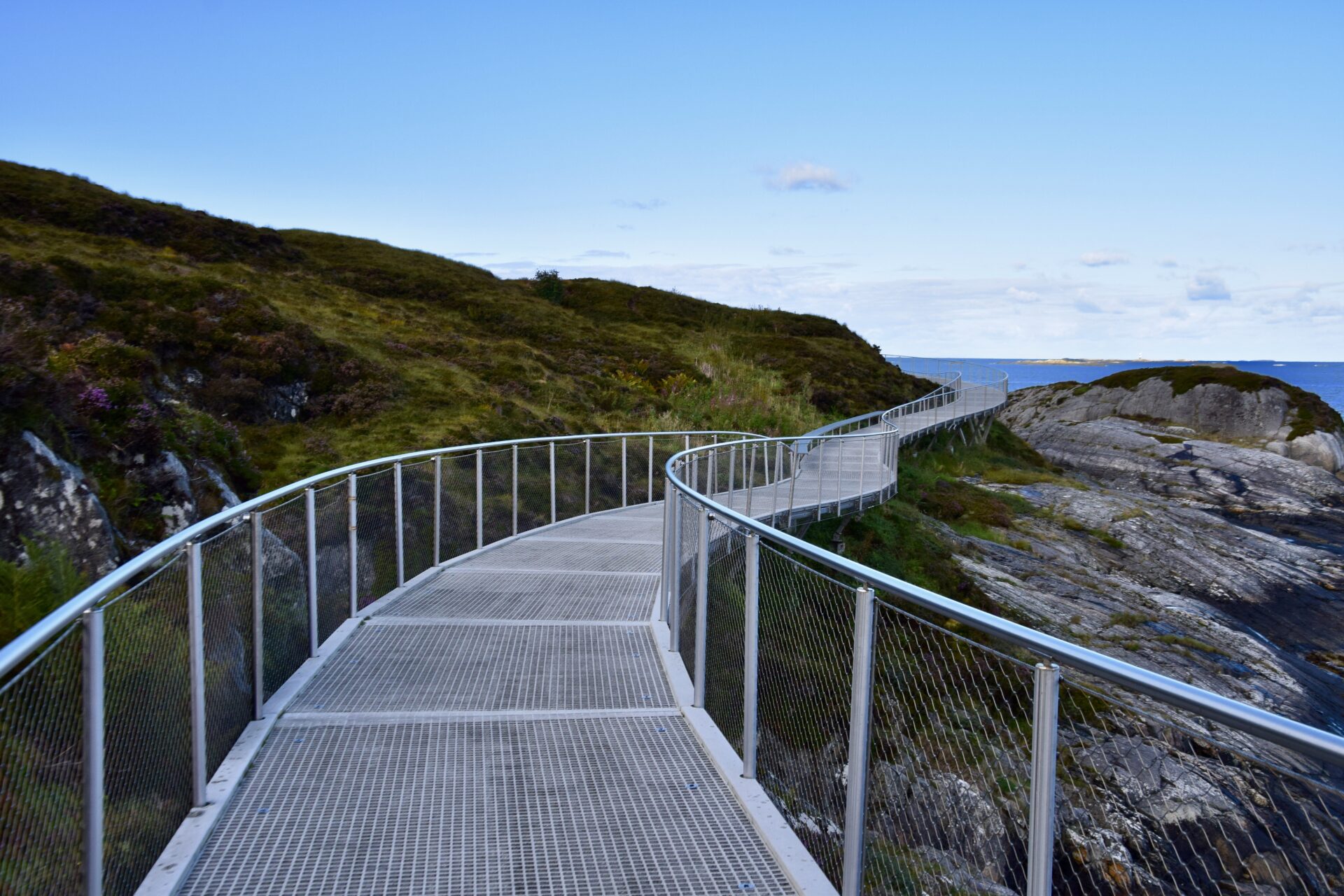
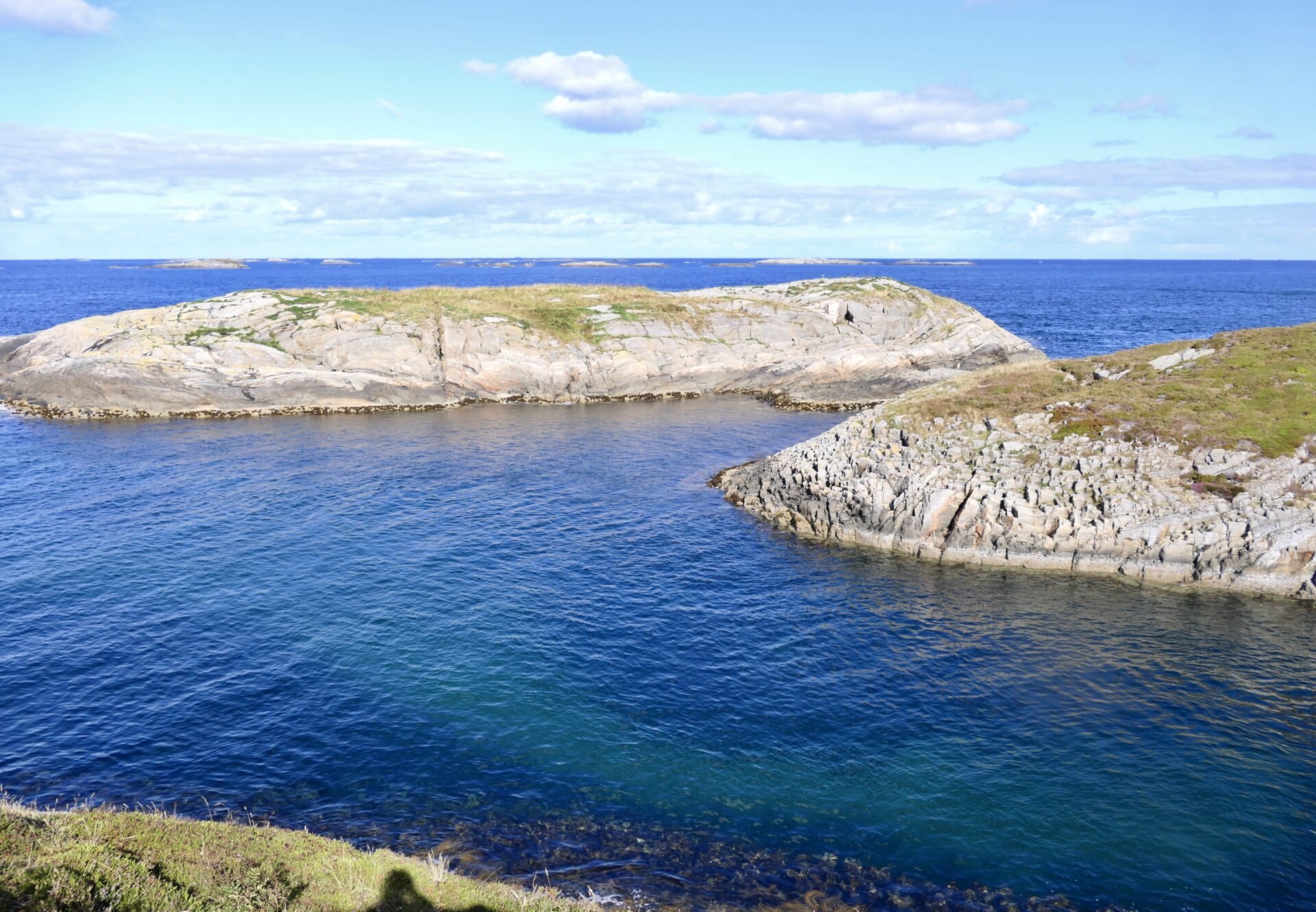
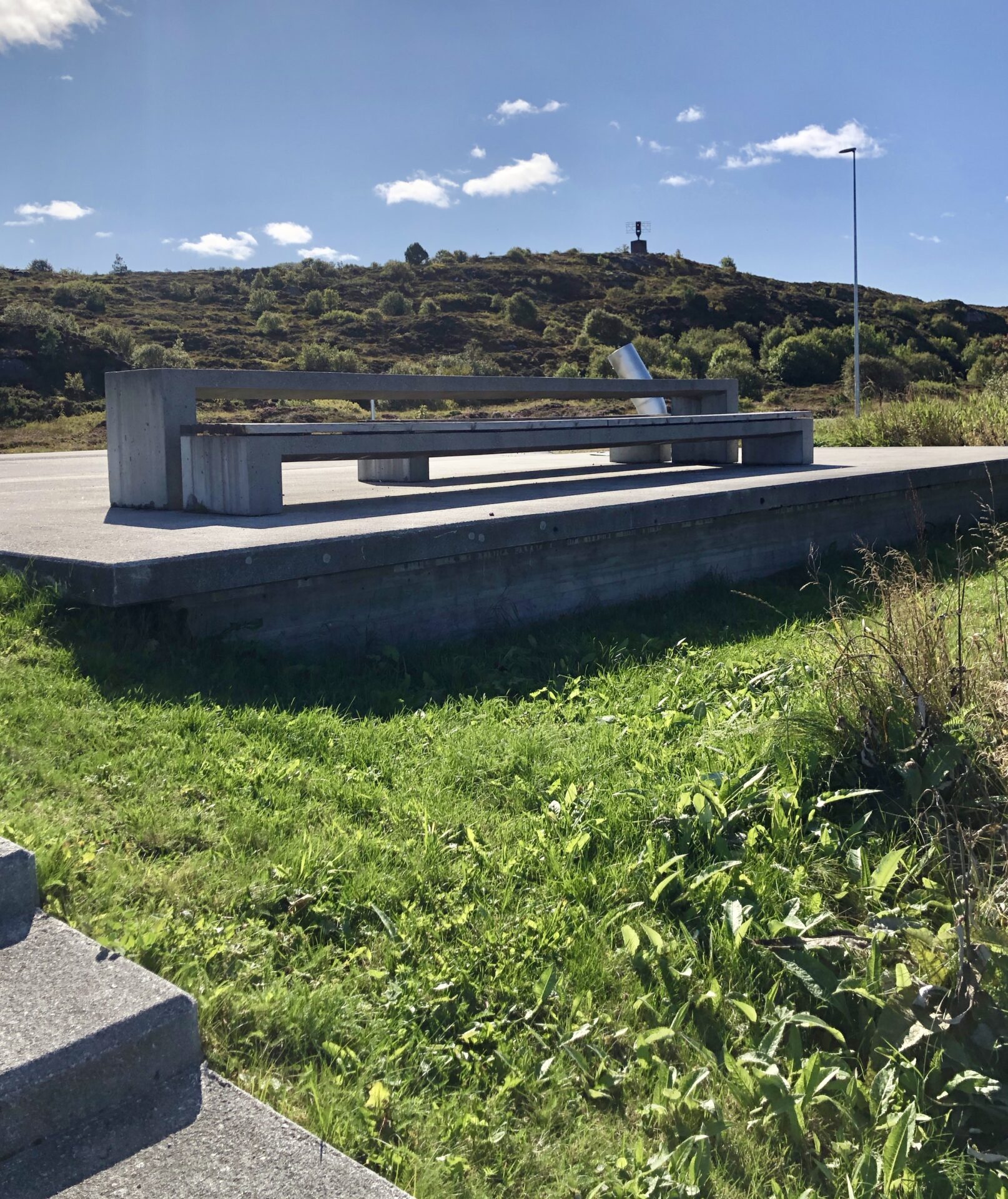
ELDØYA
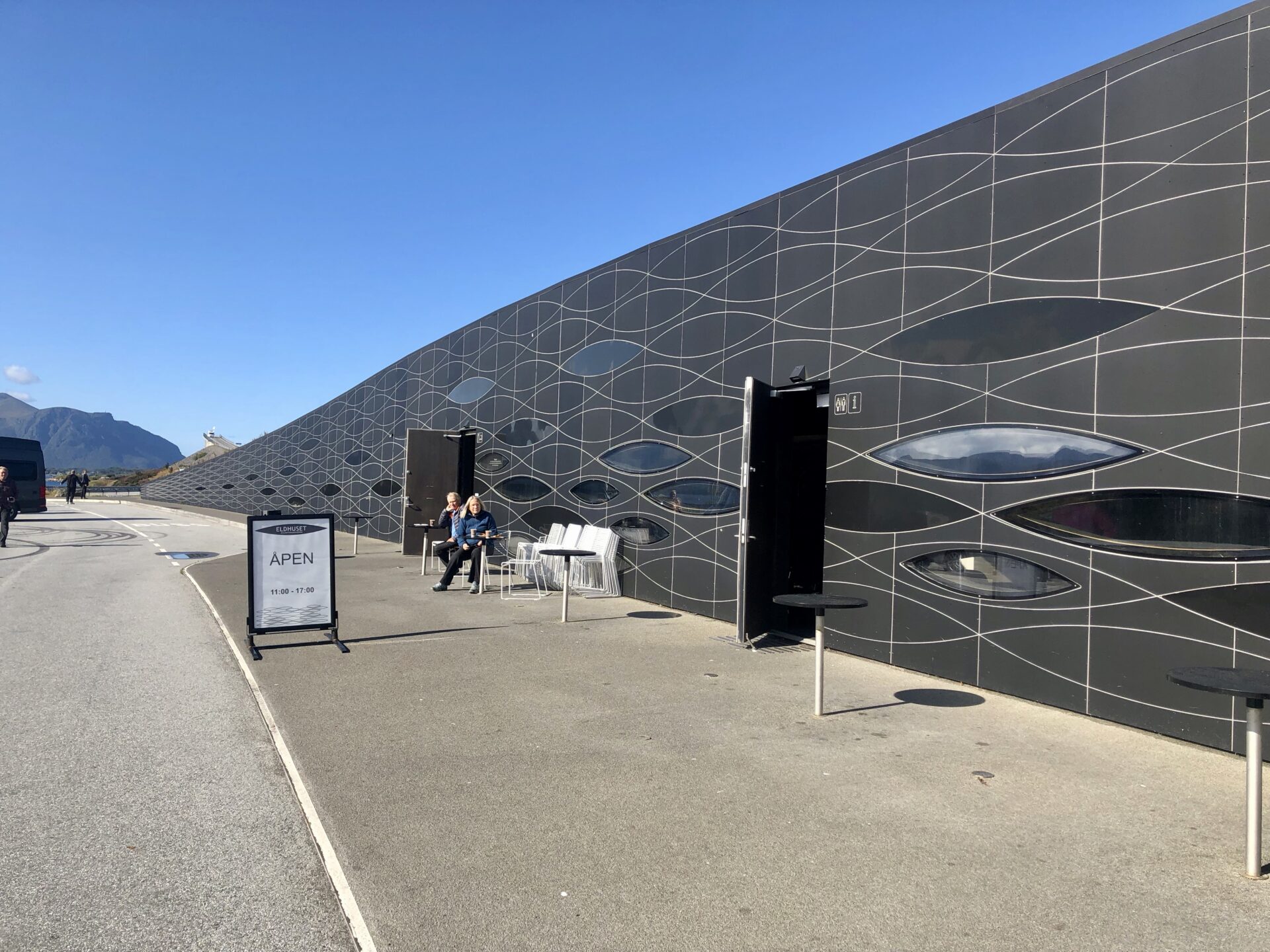
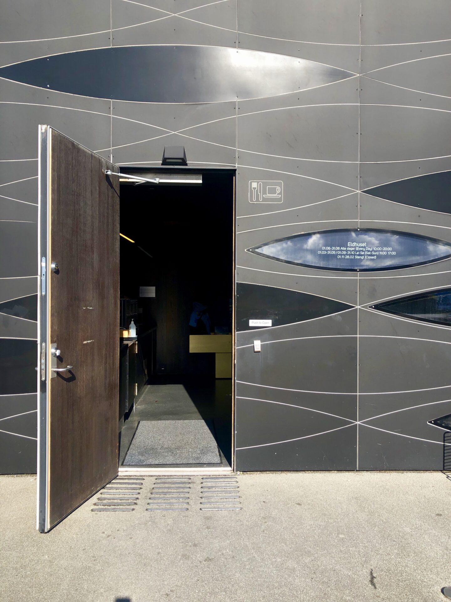
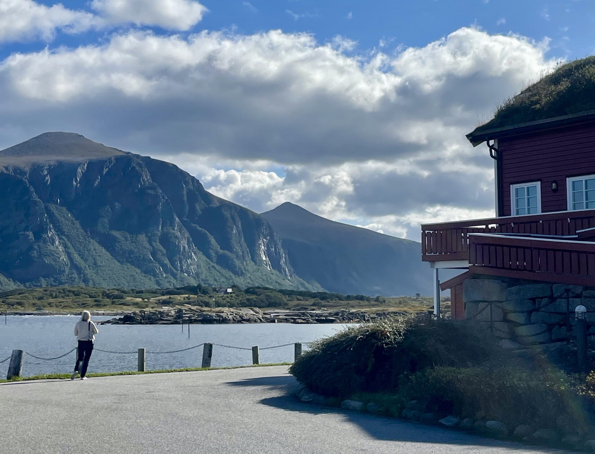
Connected to Geitholmen in the south is Eldhusøya. “Eldhus” is a name of an old building belonging to the little farmstead that previously stood on the island. An Eldhus contained one or more fireplaces for baking or laundry.
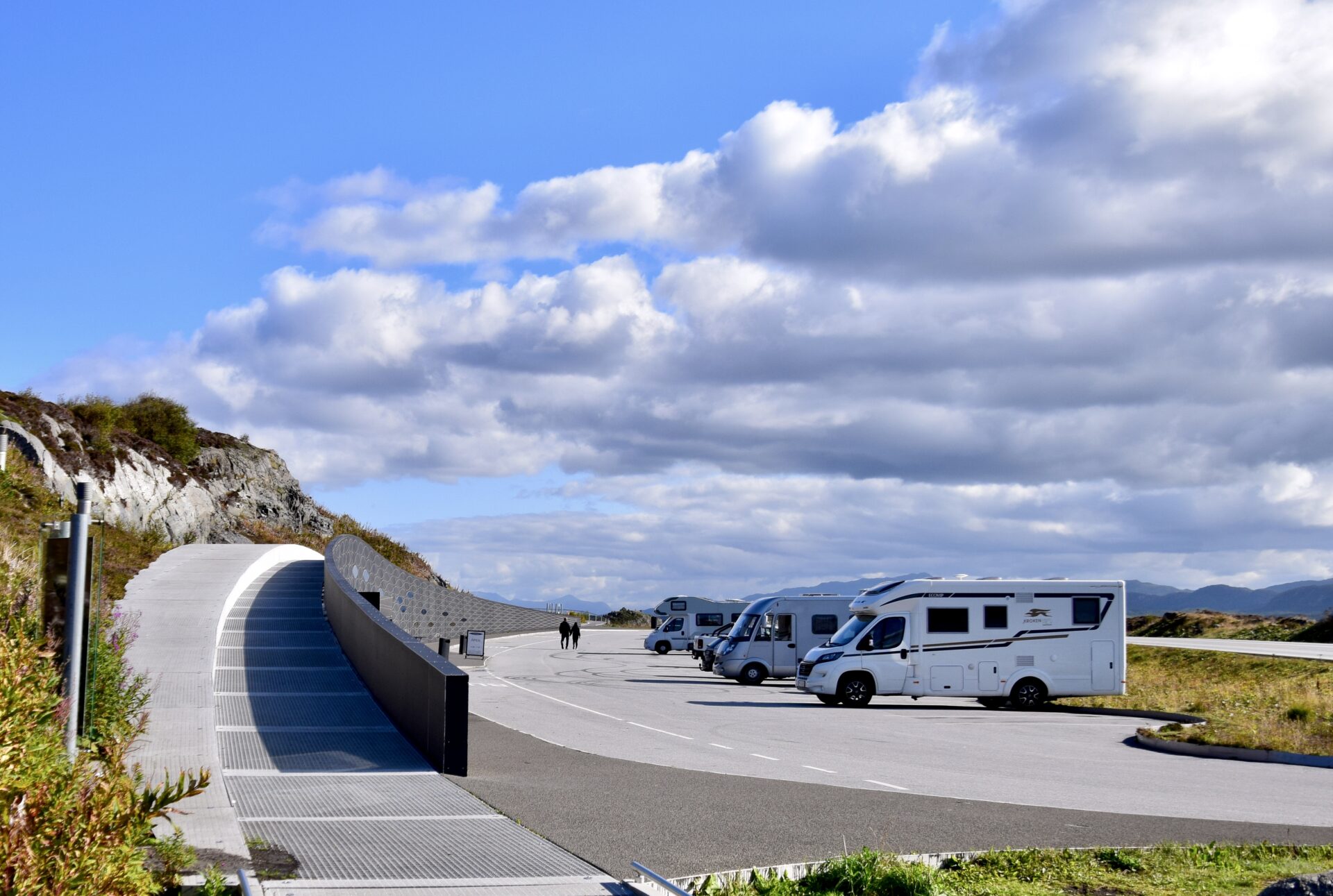
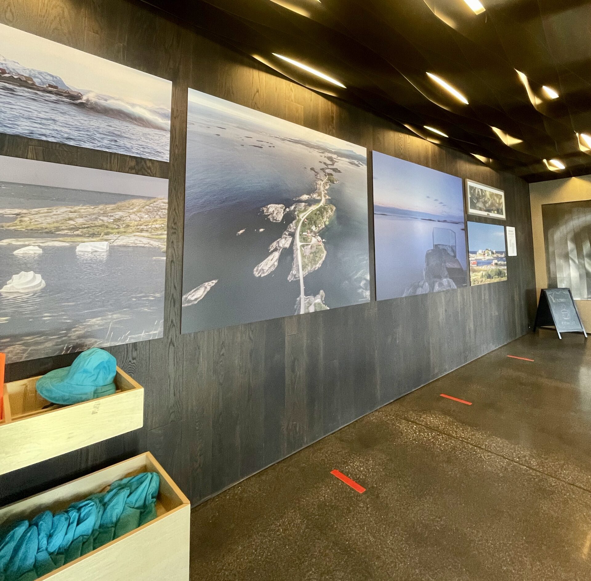
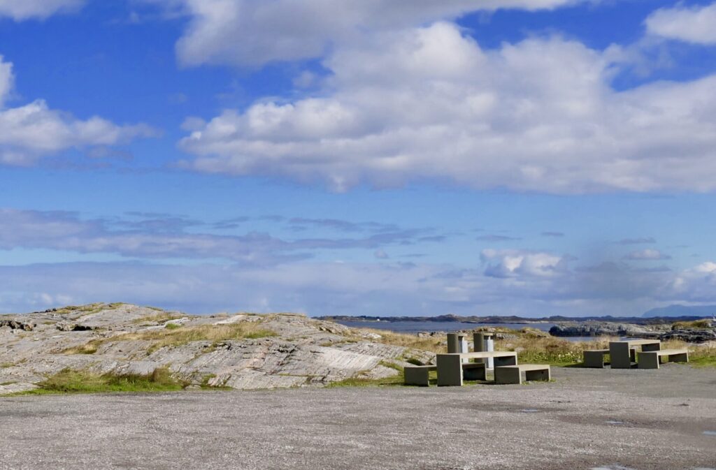
The southern part of Eldhusøya island is a recreation area and the main place to stop along the Atlantic road. Here you will find a cafe and information about Atlantic Road.
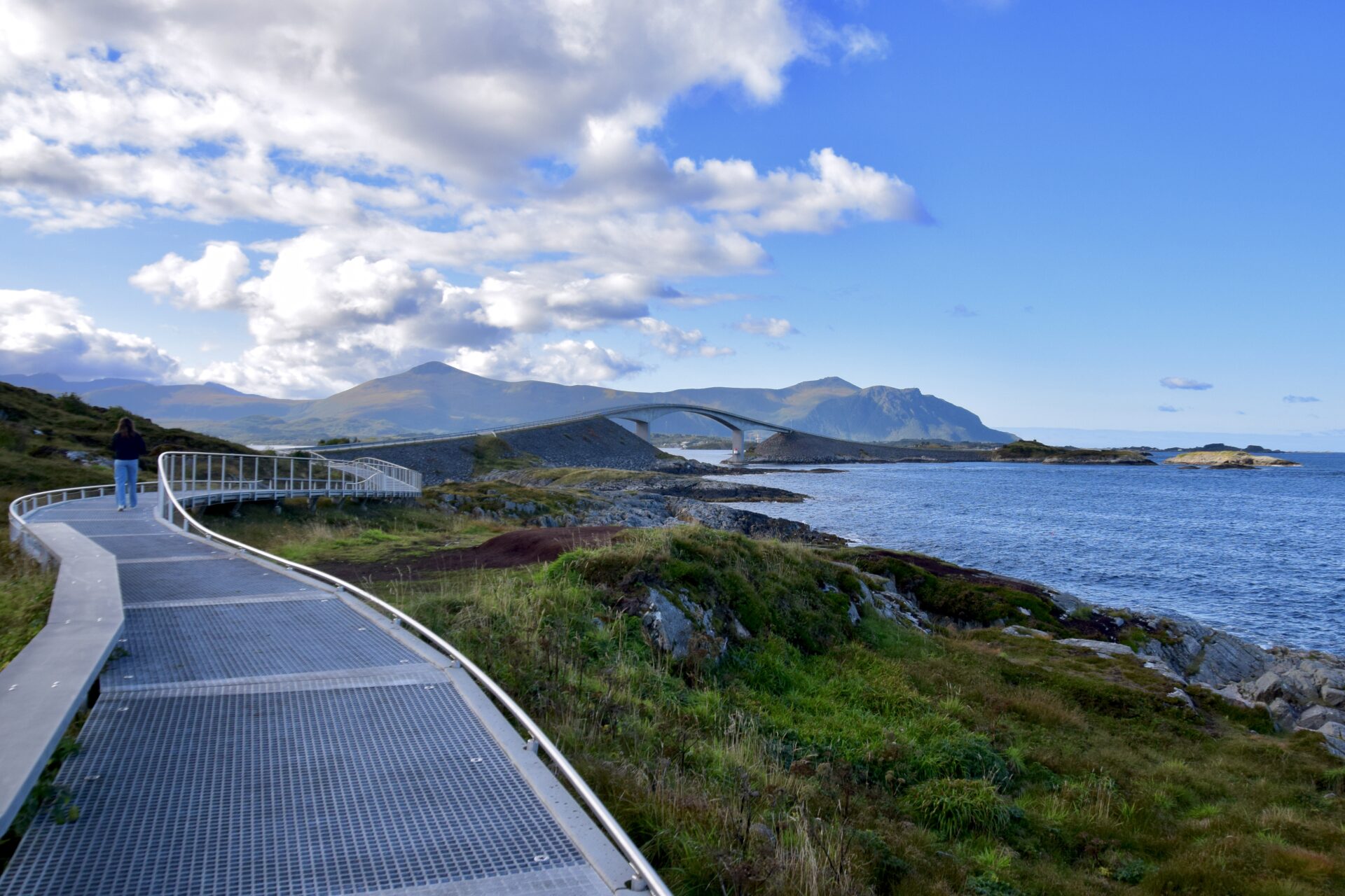
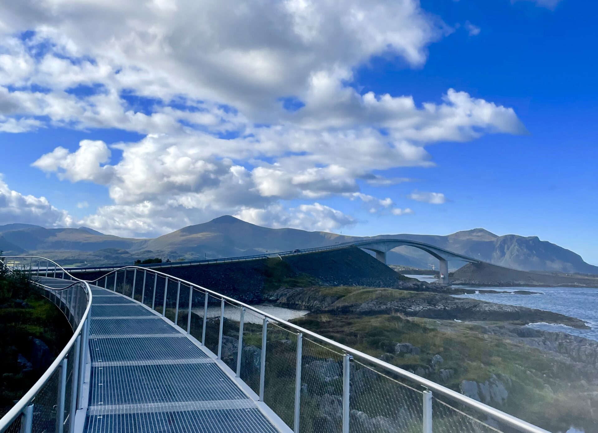
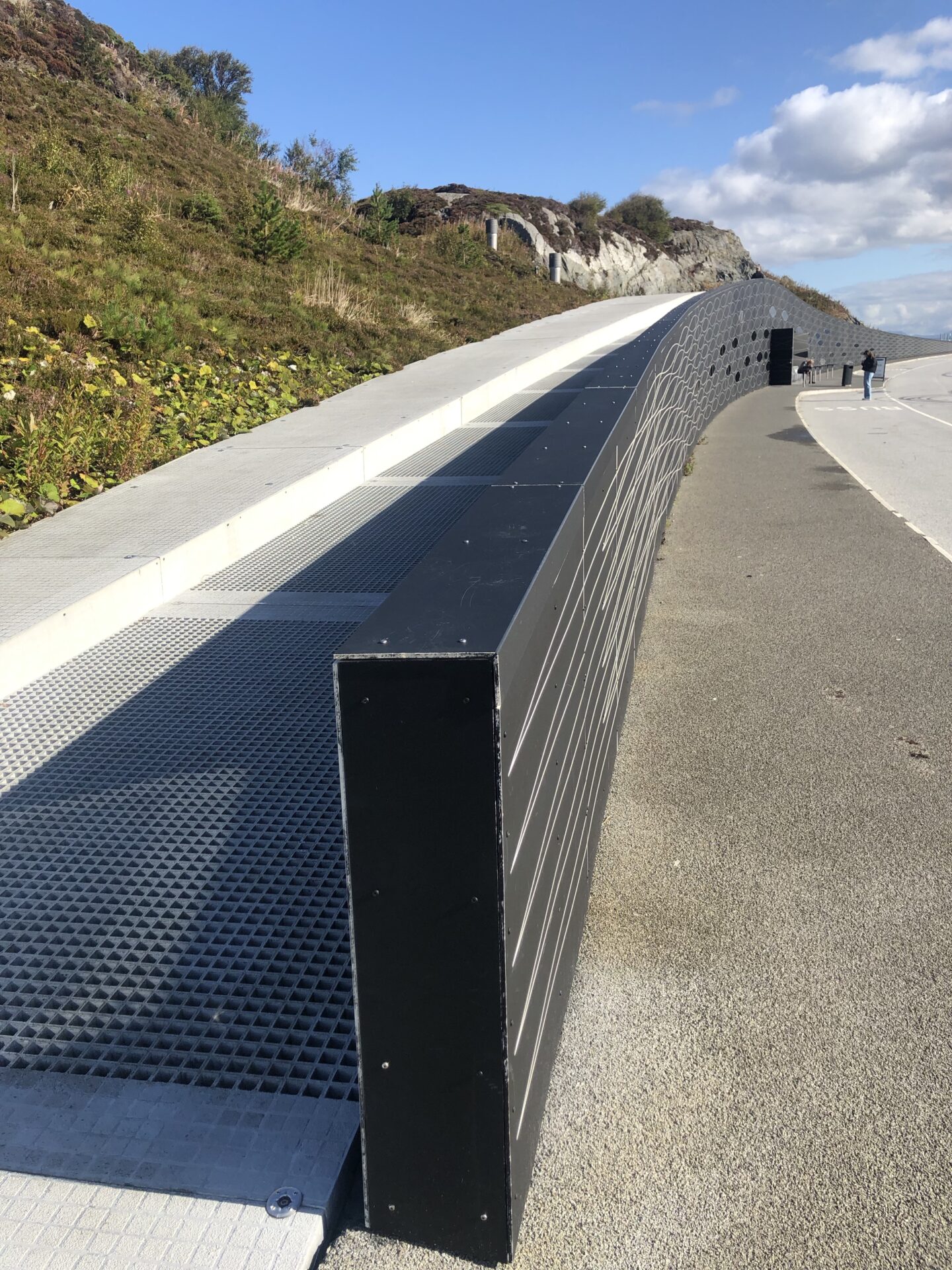
At Eldøya, there is also an elevated hiking path that makes a nice circular walk. It was a great experience. You get close to the sea, and the bridge’s view is excellent. Everybody should take this walk, it is accessible to all, and it stays open every day.
The facility building with the cafe has a fancy design built under a walking path by the parking lot. The windows mimic a glittering school of herrings.
It is open for visitors during the summer season.
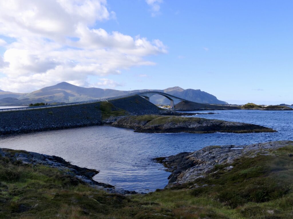
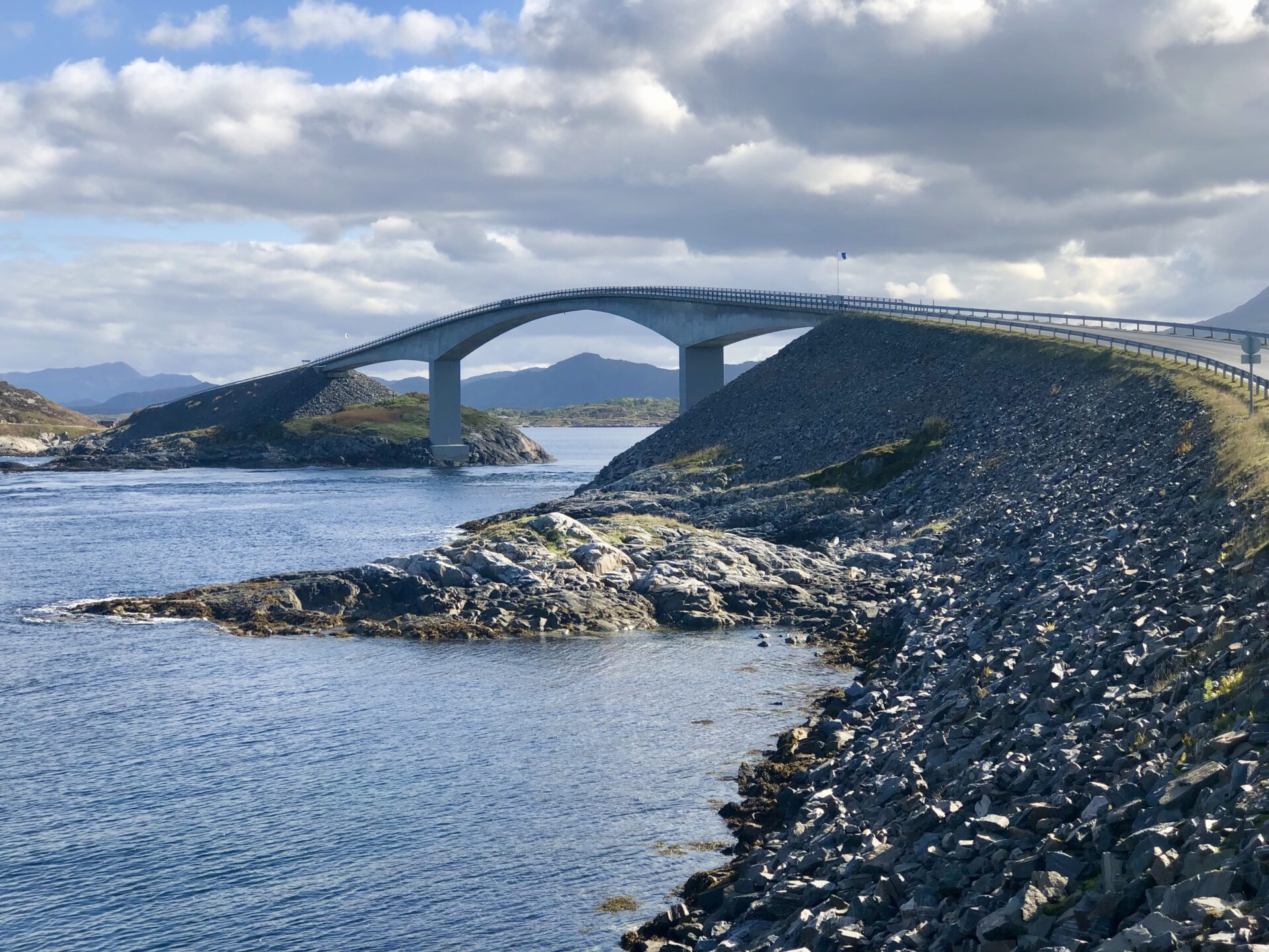
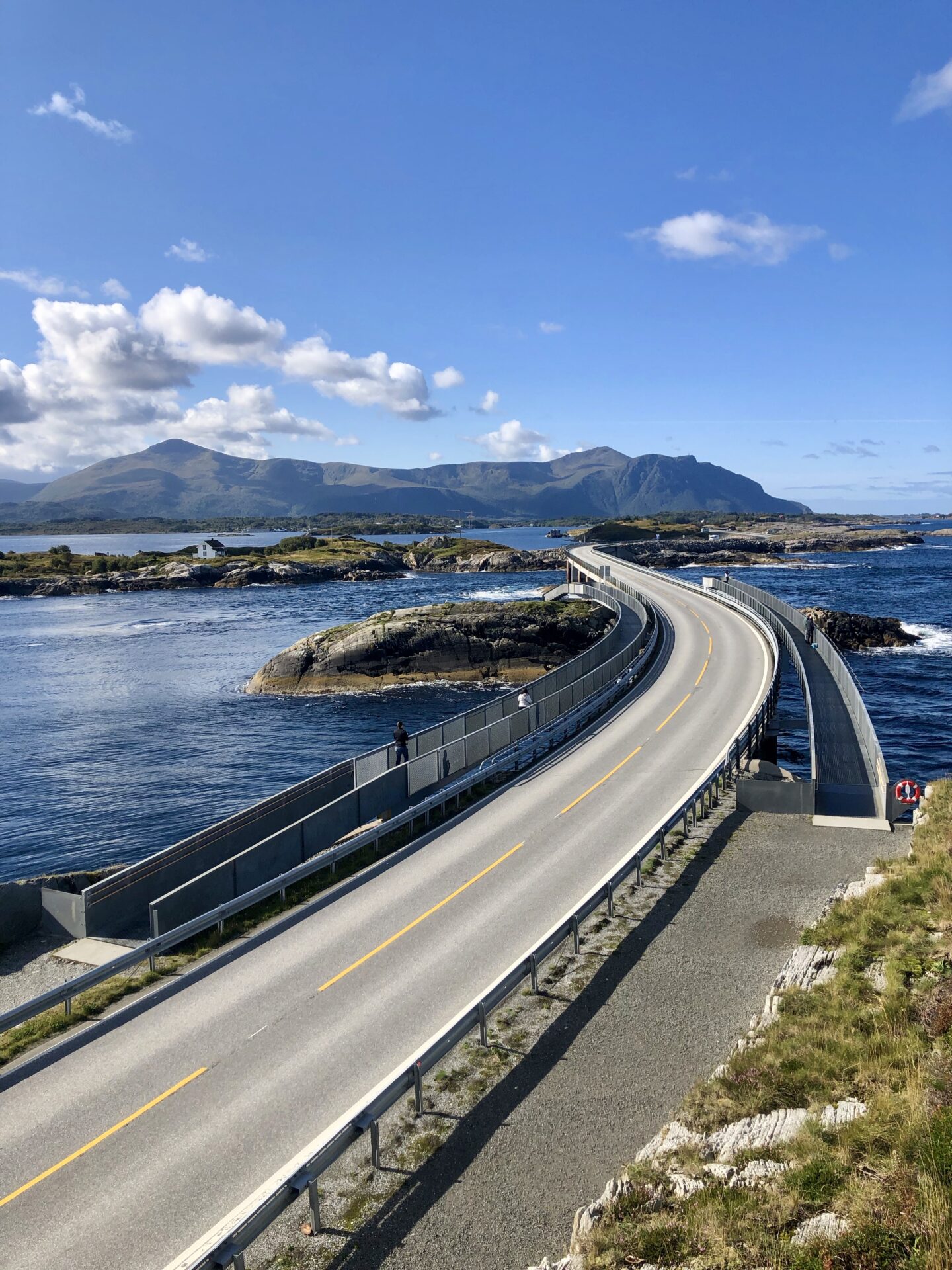
There is an excellent view of the bridge Storseisundbrua from this rest area. Of all the bridges of Atlanterhavsveien, this bridge is the longest. Storseisundet Bridge is a cantilever bridge that is 260 metres (850 ft) long and with a maximum clearance to the sea of 23 metres (75 ft).

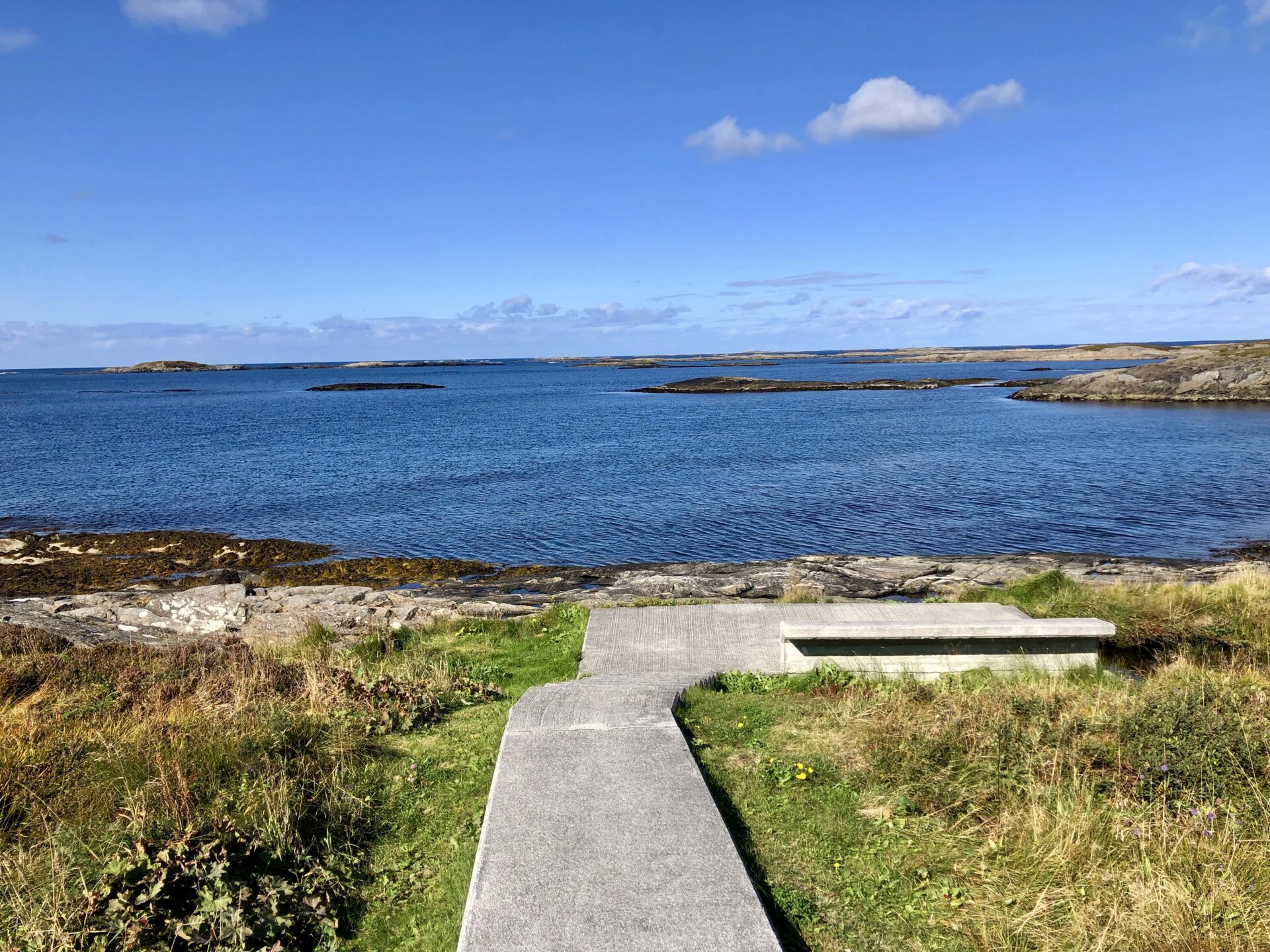
MYRBÆRHOLMBRUA – MYRBÆRHOLM BRIDGE
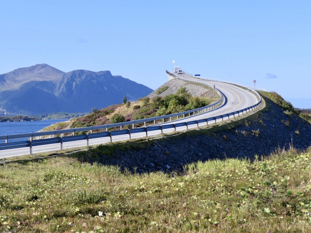
After passing the fascinating Storseisundbrua, we had a stop at Skipsholmen, which has a parking lot and viewpoints. Excellent view at the Storseisundbrua bridge also from the south side.
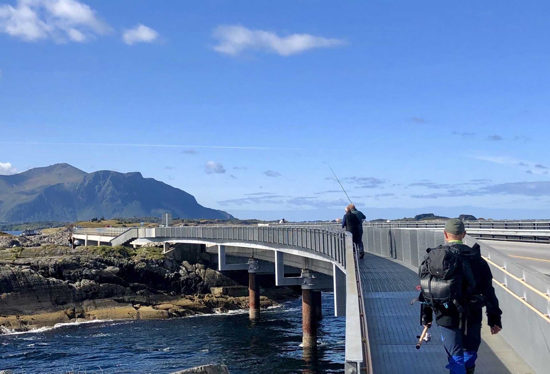
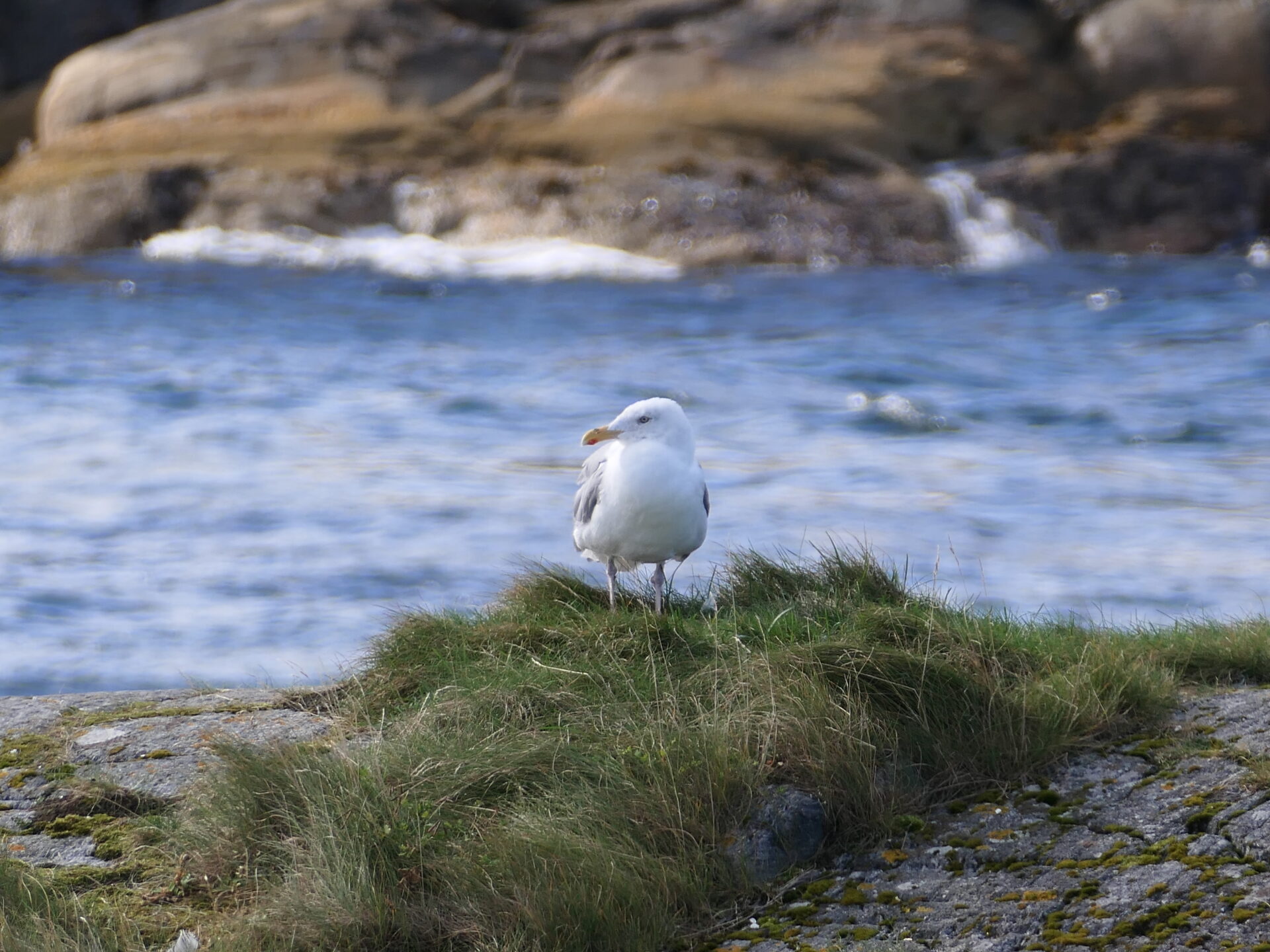
Fishing from the bridges is a popular activity in this area. New walking paths on either side of the Myrbærholm bridge do this more safely.
In the strong tidal current, you can pull cod, pollock, mackerel and coalfish out of the clear, pure ocean water.
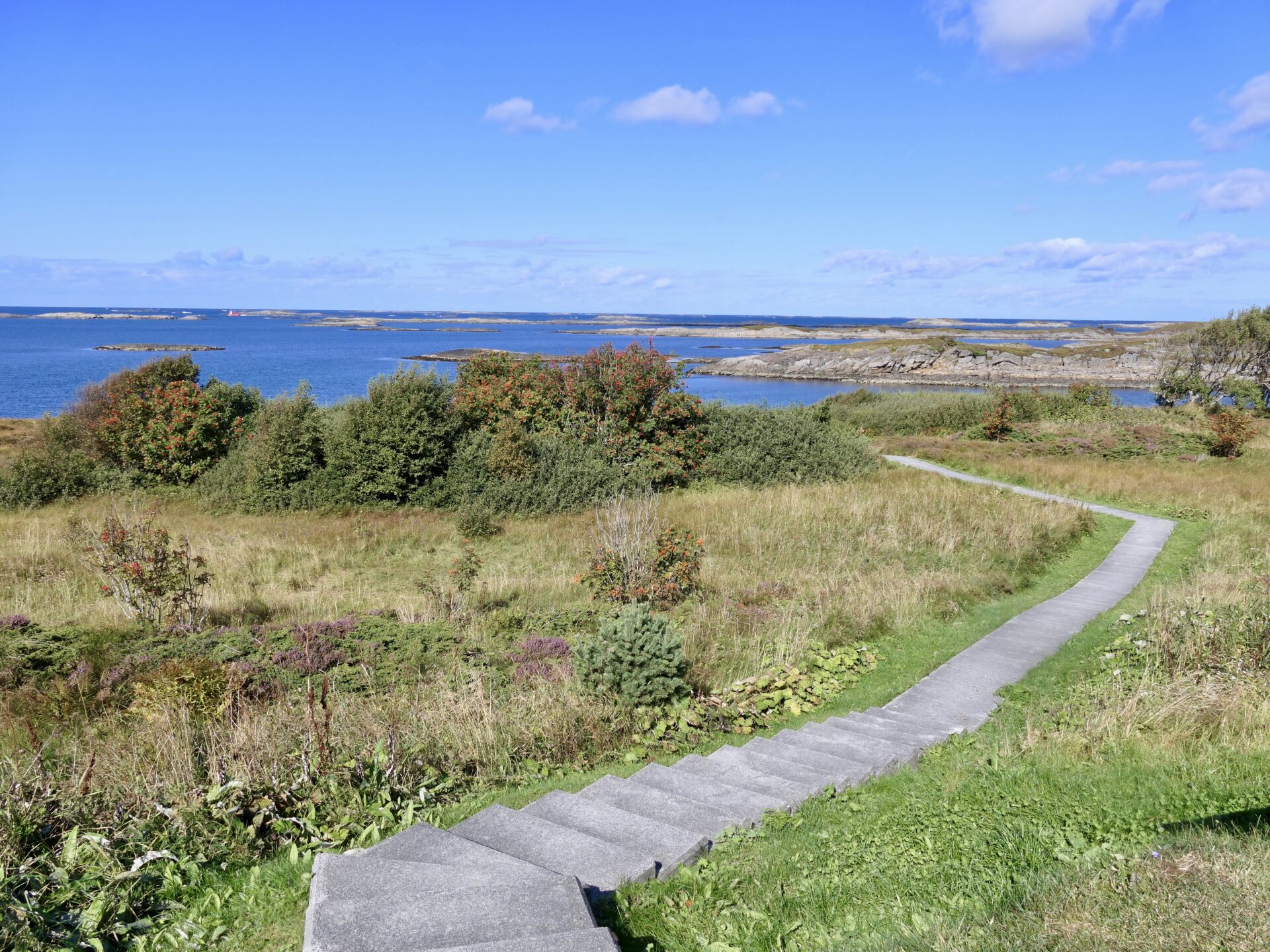
We had a nice walk around the islet and along the walking paths.

At Storseisundbrua with view to Myrbærholmsbrua 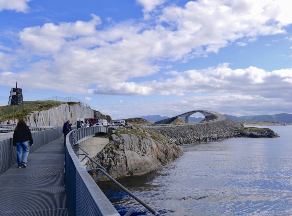
Great walking paths 
Walking paths along Myrbærholmsbrua 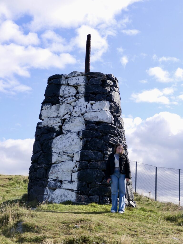
My daughter by a sea mark at Skipsholmen 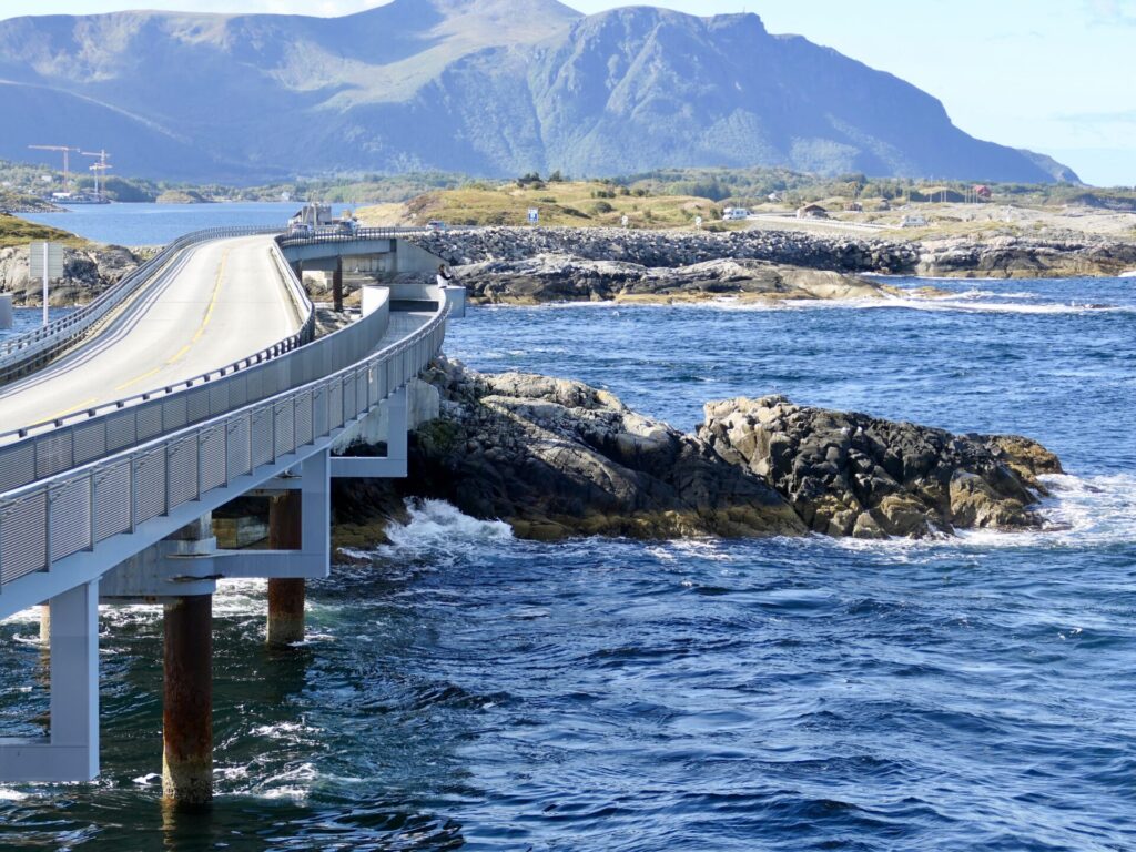
Myrbærholmsbrua 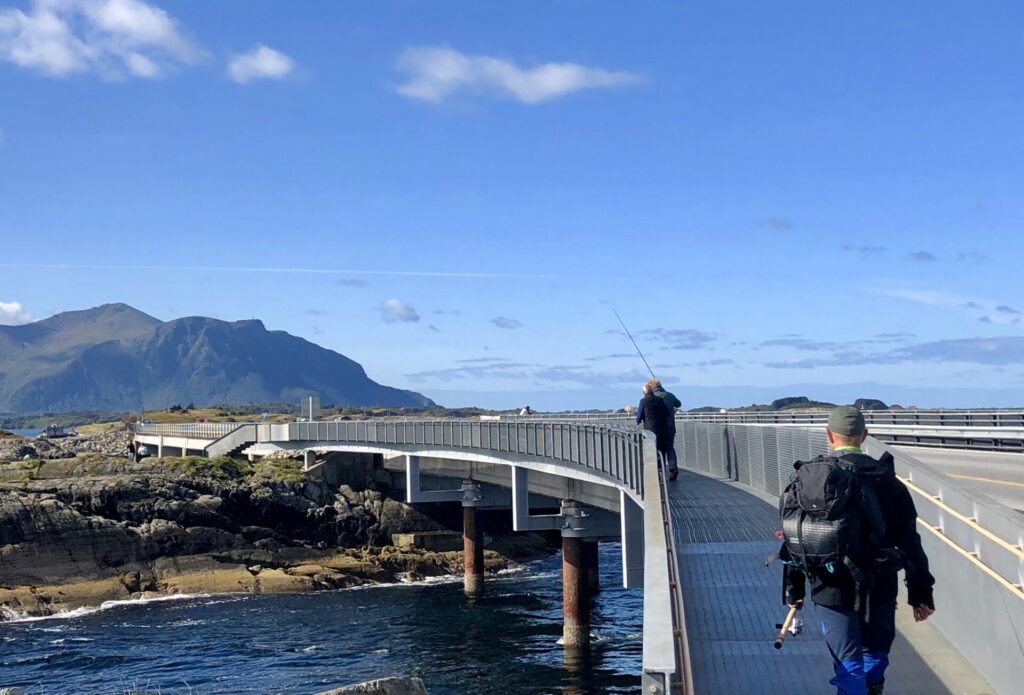
Fishing from the walking path 
Myrbærholmsbrua – walking paths on either side – for safe fishing.
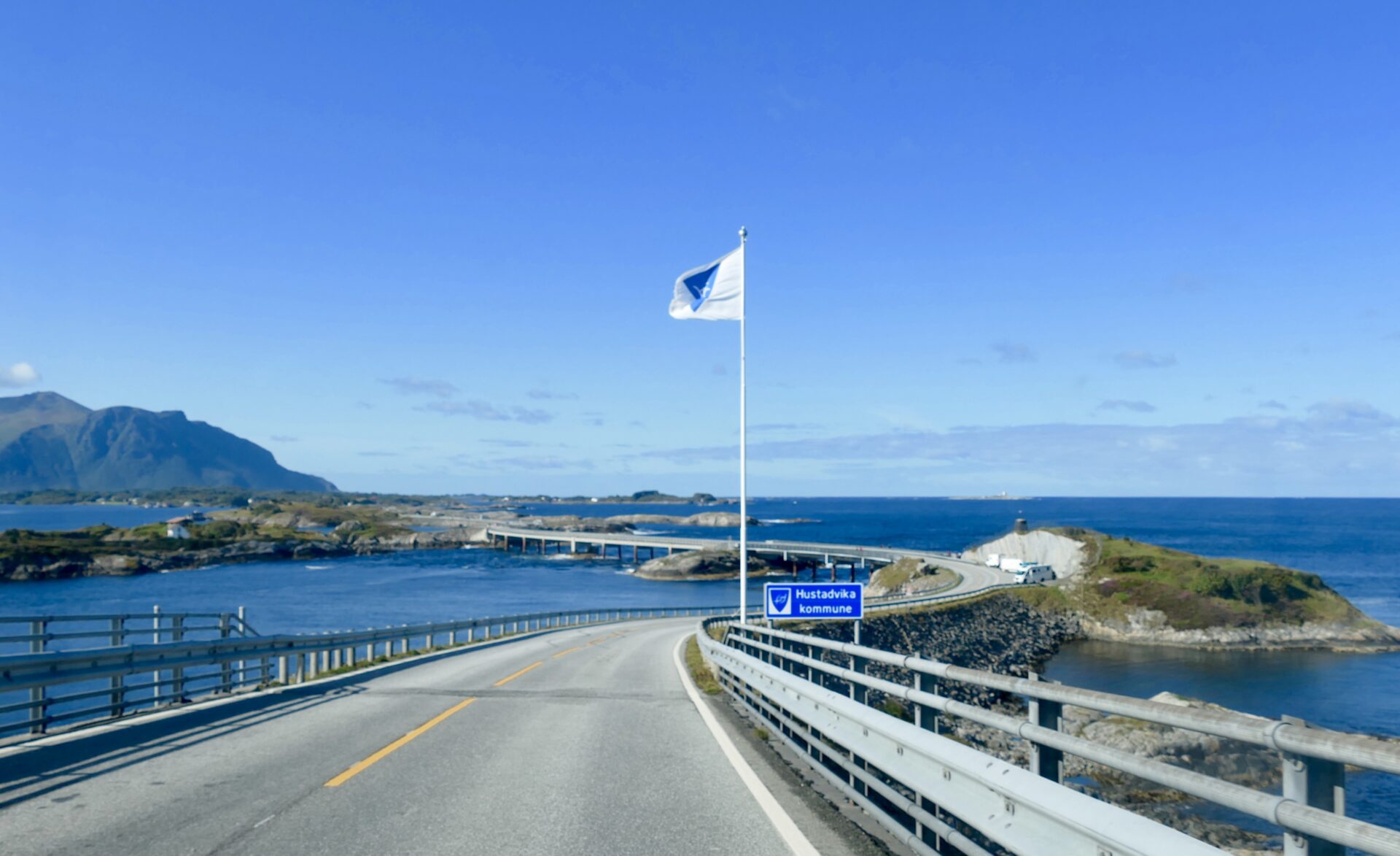
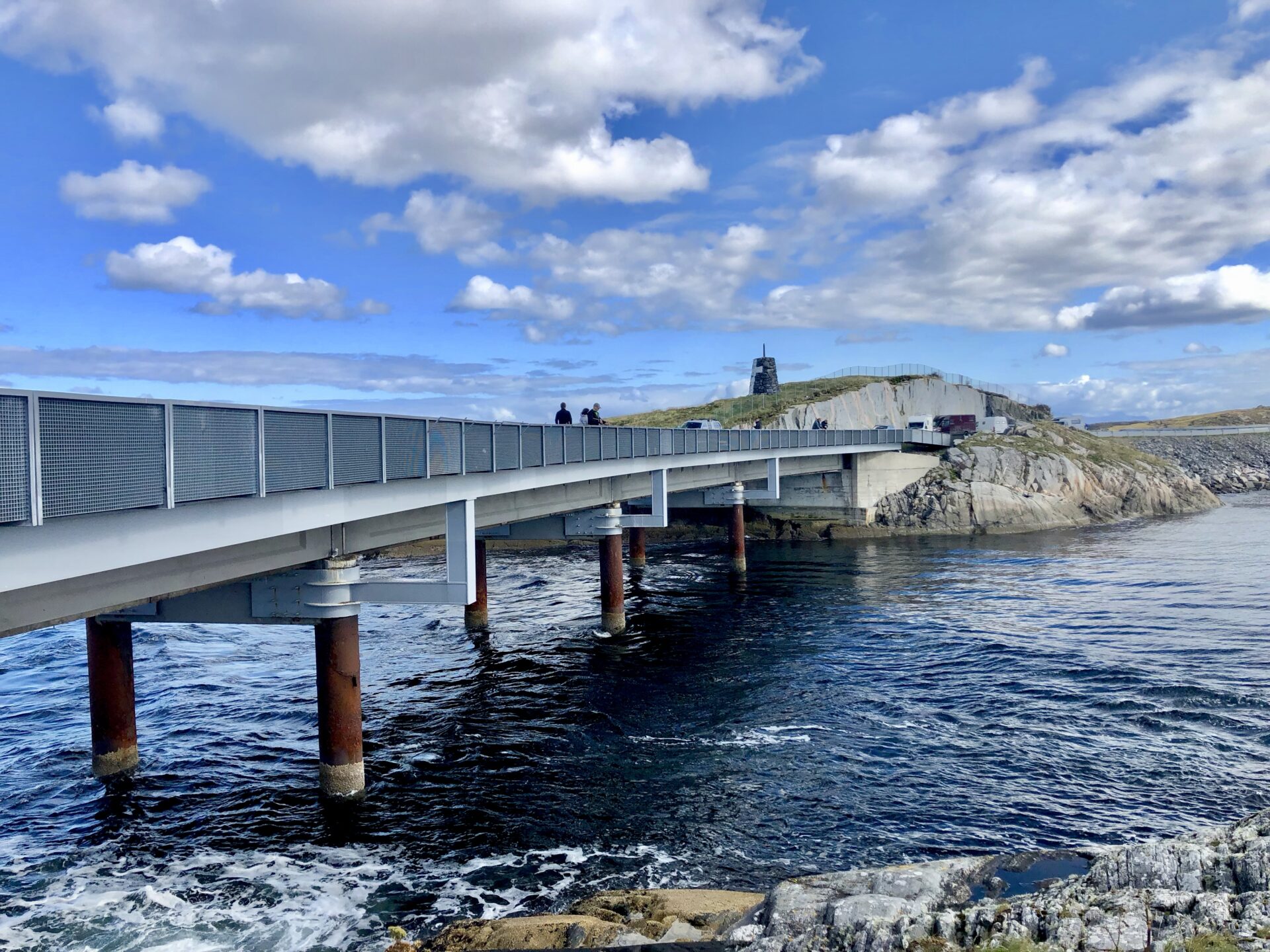


Myrbærholmbrua and the following connecting bridge Hulvågsbrua have a total length of 295m. From the surroundings:
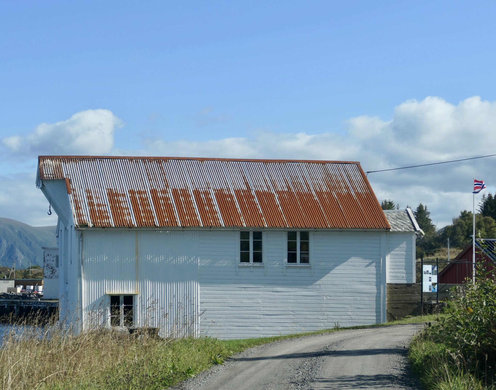
On the next island, Skarvøya, there are several small rest areas. One of them has a facility building with a cafe.
Pure Norwegian Seafood is planning a science and exhibition centre for students and tourists in the south part of the island. It may be a new attraction along the Atlantic Road.
A rest area at Skarøya 
Facility building at Skarvøya
The last bridge that connects the island to the mainland in the south is Klipabrua. It is 119 m long.
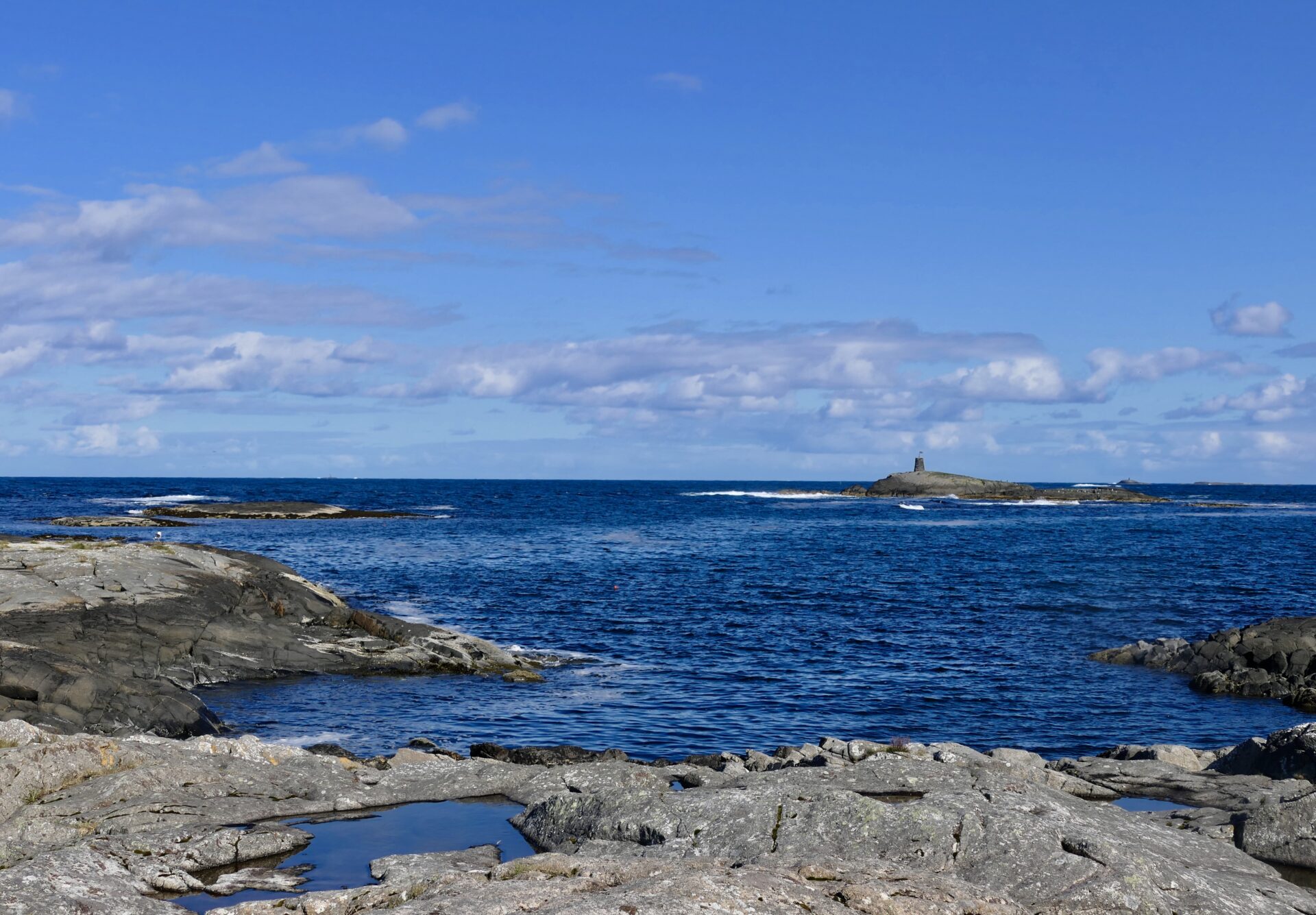
We did not stop at Hågå but travelled further south and followed the RV 242 along the coast outside Vevang. Many small islands and islets outside the stretch towards Farland.
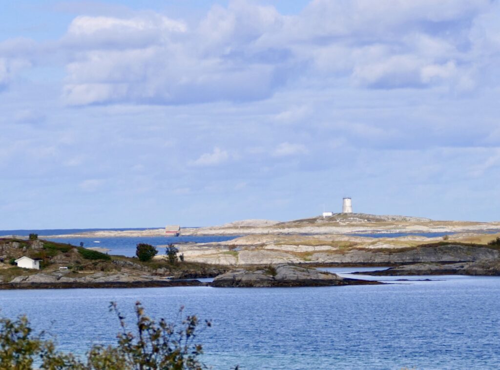
Kvitholmen is one of the outer islands with a lighthouse. 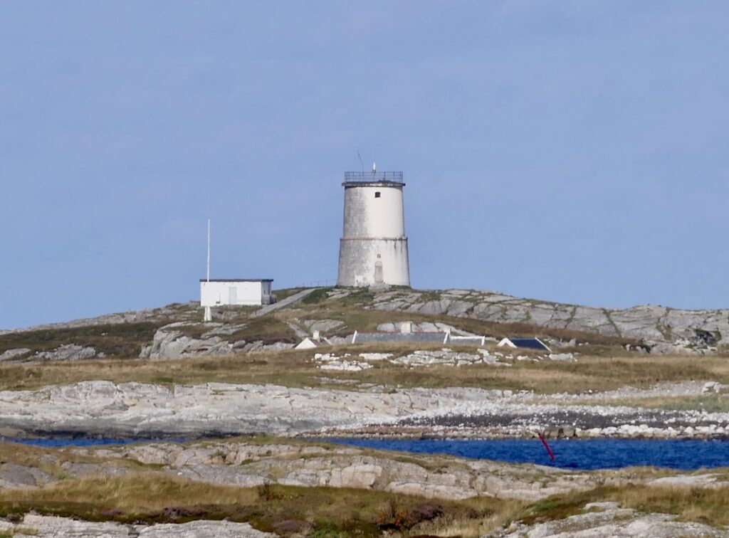
Kvitholmen Lighthouse (1842)


A small rest area and a nice view of Teistklubben island:
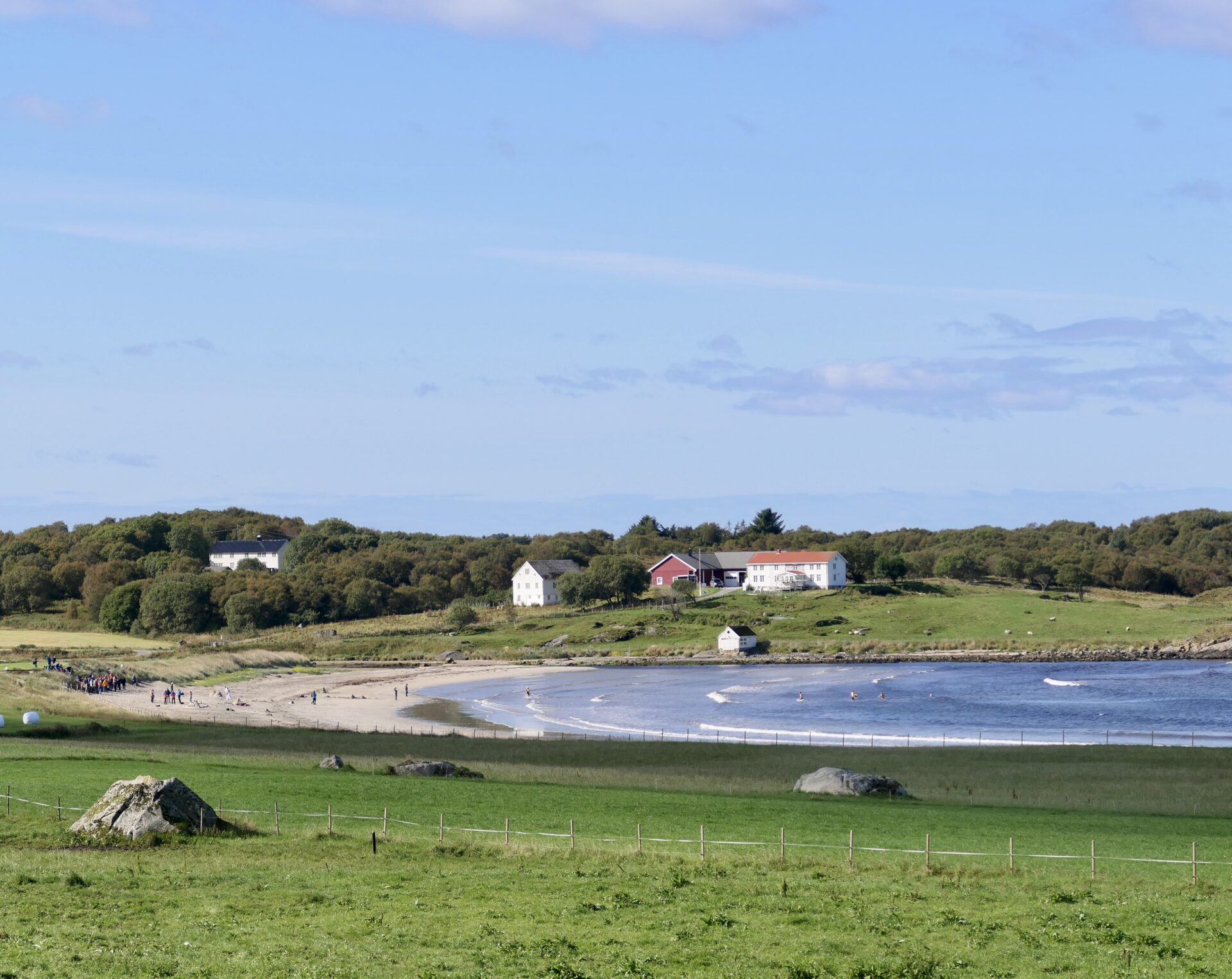
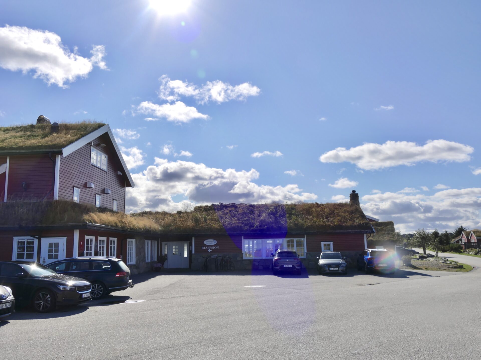
After passing Farstad, the route continued at county road FV238 southwestwards. We had a detour to Hustadvika Guesthouse, located right at the edge of the ocean.
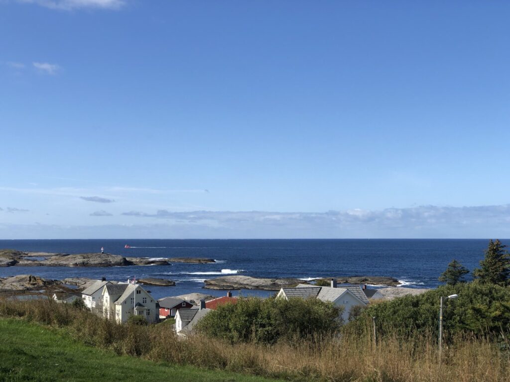
Hustadvika is one of the most dramatic stretches along the Norwegian coast. The area includes the waters off Bud and the Bjørnsund islands in the southwest and Hustad and Kvitholmen in the northeast. On a rough day, you will feel the forces of nature – and if the weather is good, enjoy the beauty of the coastal landscape.
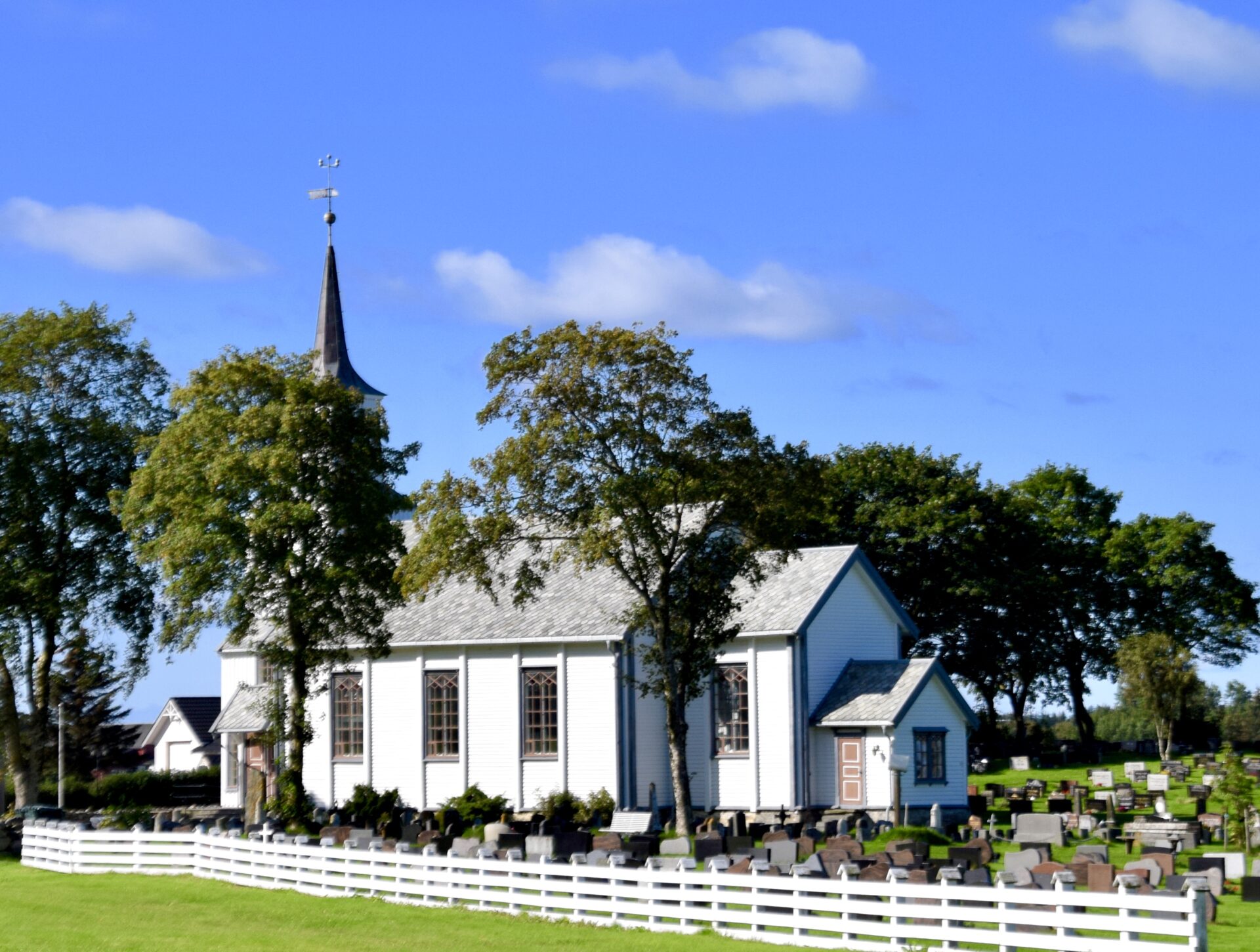
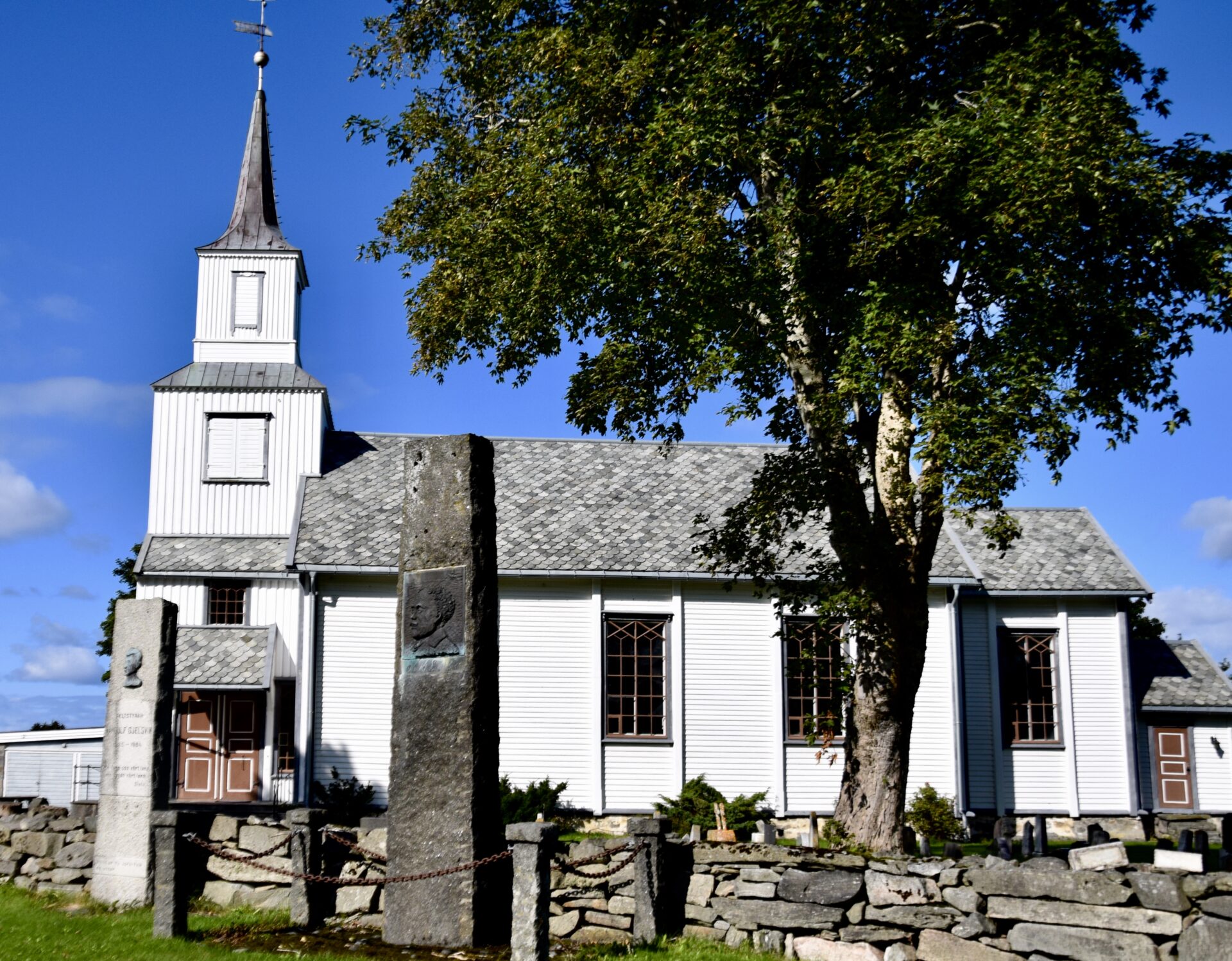
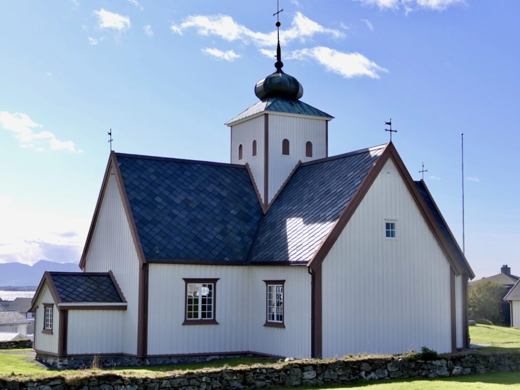
Back along the road FV235, just north of Hustad, is Hustad Church.
The white, wooden church is from 1874 and has a long church design. The first church in Hustad was a stave church built around the 12th century. This church stood about 60 metres (200 ft) northwest of the present church site.
After the village of Hustad, the route continues on FV235 southwest near the seaside.

Another detour from the road FV238 is the viewing point at Askevågen, which provides an opportunity for a close encounter with the Atlantic Ocean. The platform is located at the end of the breakwater, with glass walls for protection against the weather and spray.
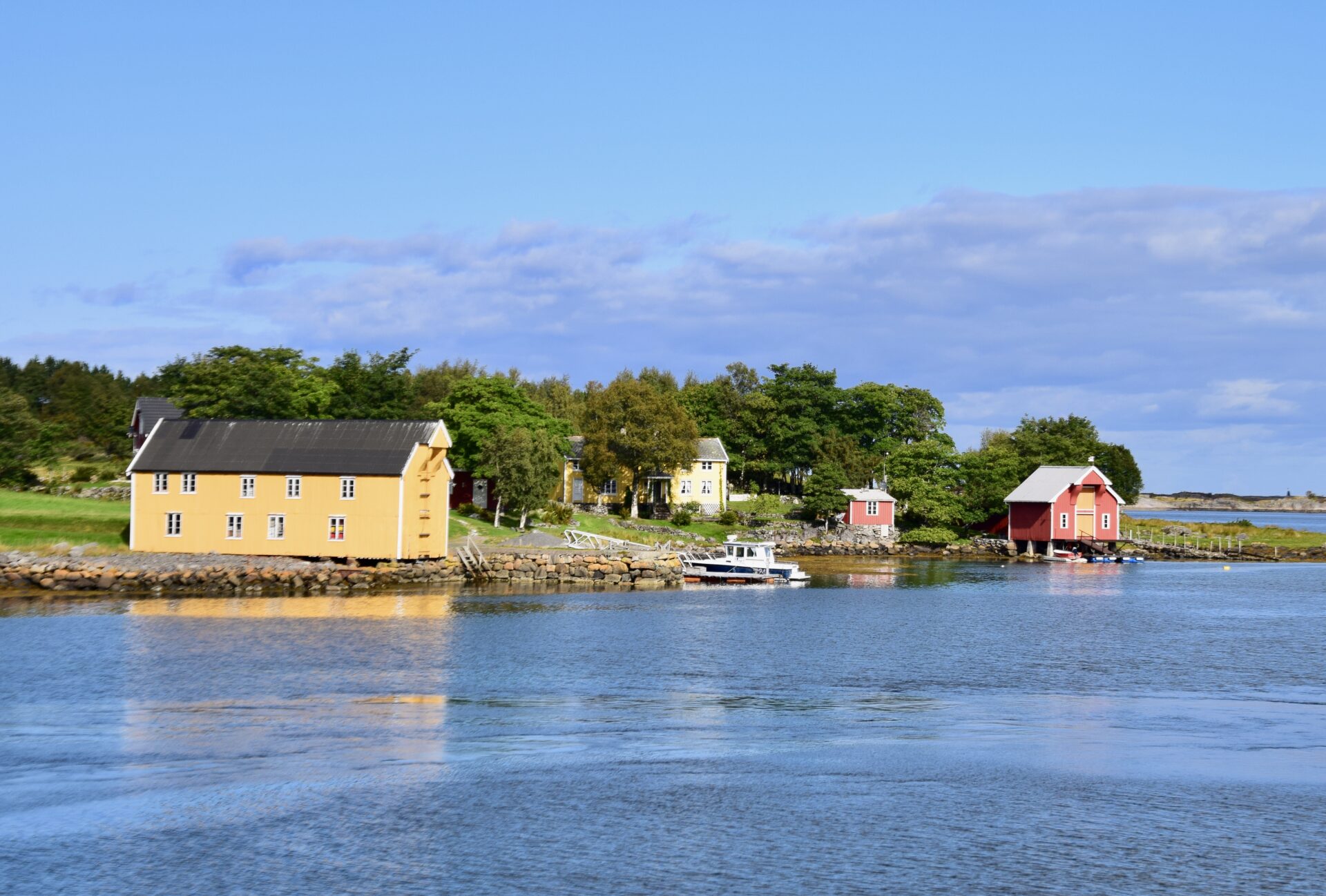
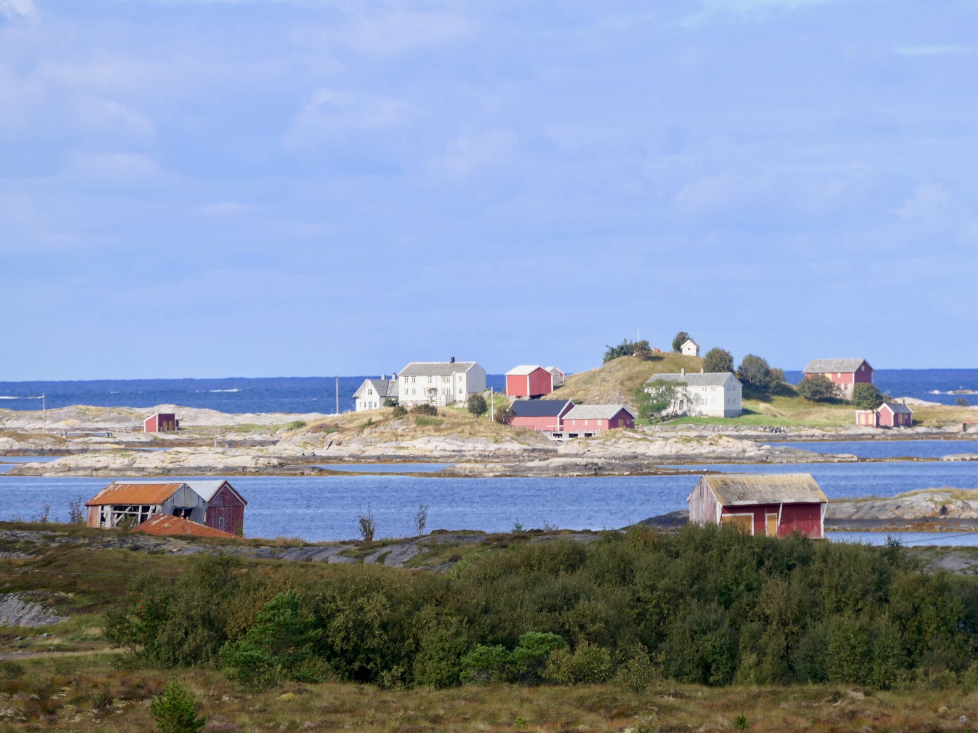
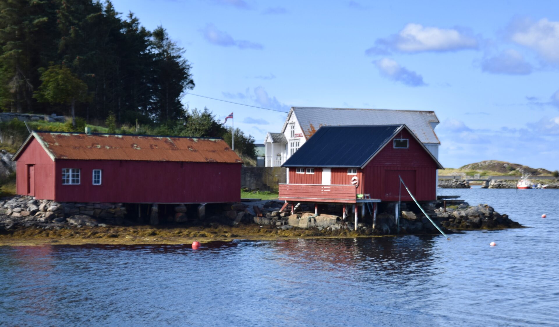
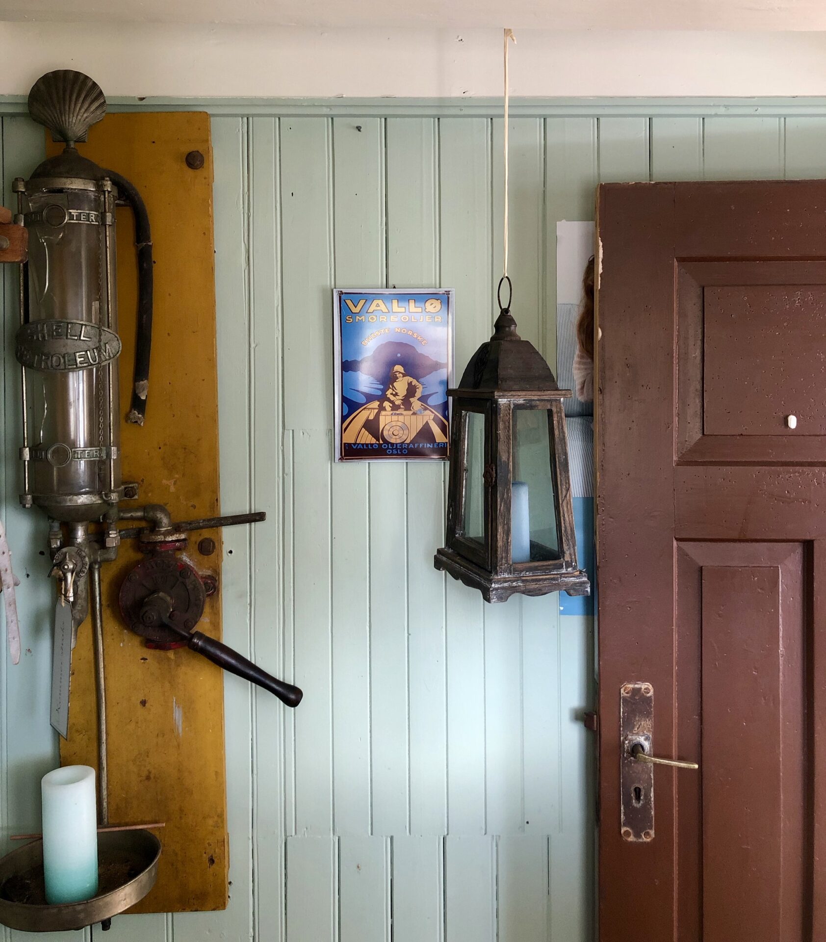
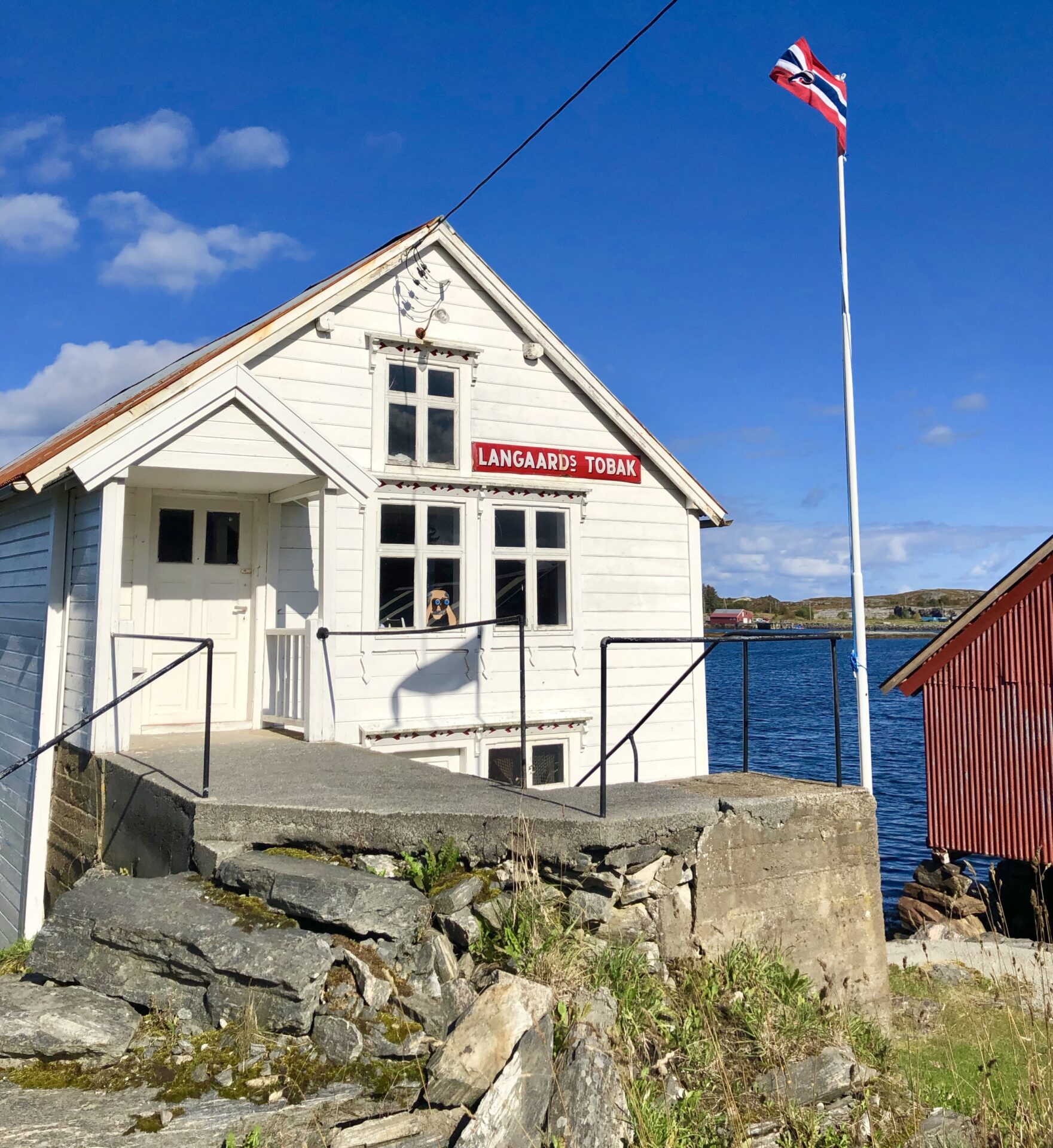
VIKAN GAMLE HANDELSTED – NESABRYGGA
The Old Vika Trading Post
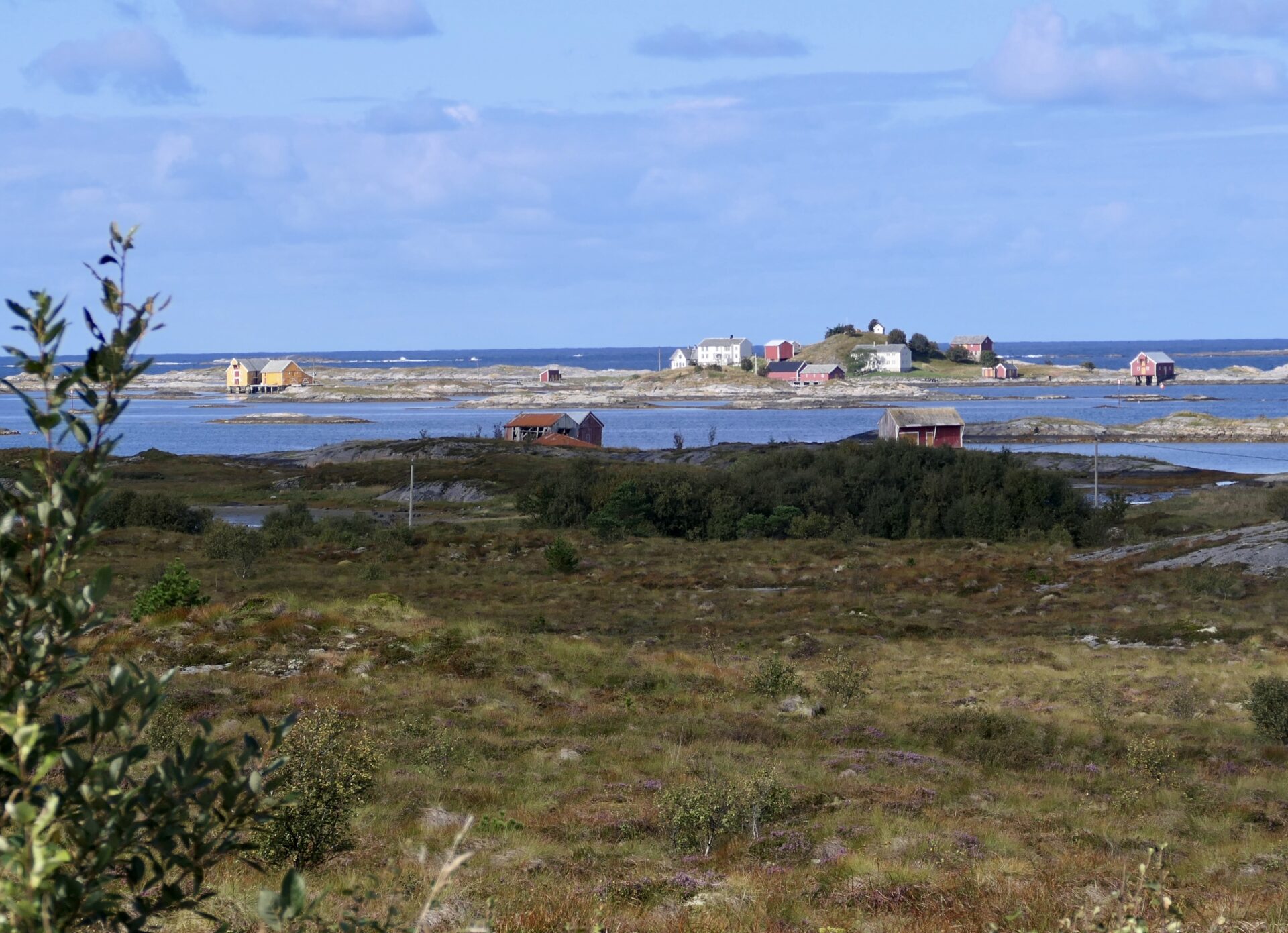
The old Vikan Trading post is at Soløy island in Vikan, along FV235.
The trading post was a popular gathering place for fishing boats as they waited for calmer seas. In the late 1970s, the island Soløya became connected to the mainland.
The main building is called Nesabrygga – Nesa Wharf, which has a shop and a post office.
Nesa wharf was abandoned in 1953. The shop is from the 1920s and stands today as back then, with its original decor and olden day ambience.
The building was restored in 2010.
Nesabrygga is open for visitors at certain times during the summer season, and it is available to be hired for special events.
KJEKSA – REST AREA AND VIEWPOINT
The viewing point at Kjeksa lies near the fishing village of Bud.
A magnificent view opens to the ocean and Hustadvika bay from the rest area. Paths and steps lead down to the edge of the sea, to places where anglers can try their luck.
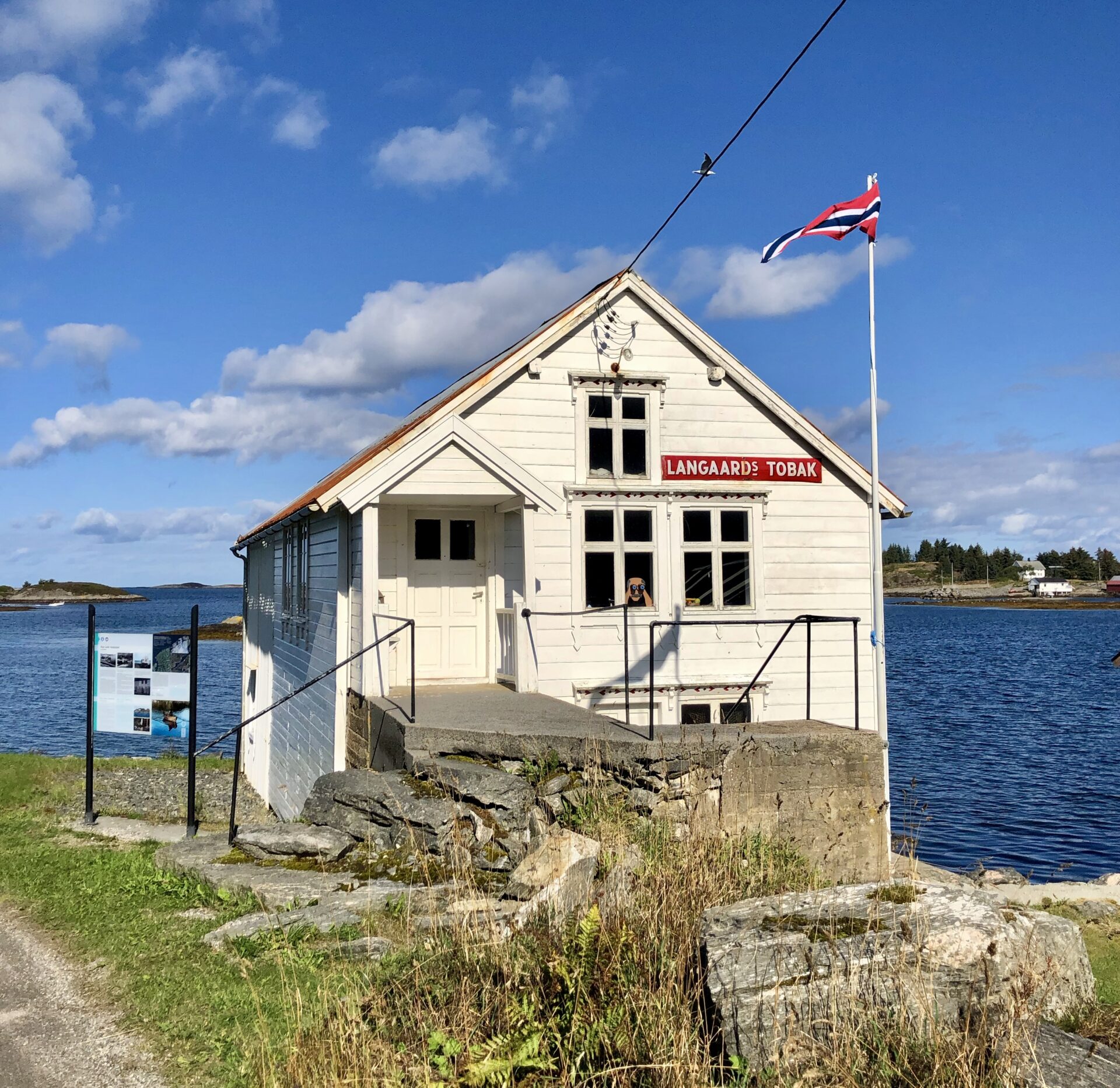
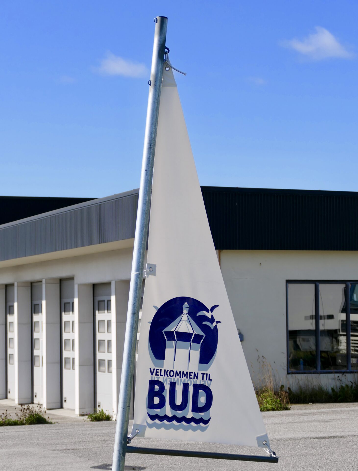
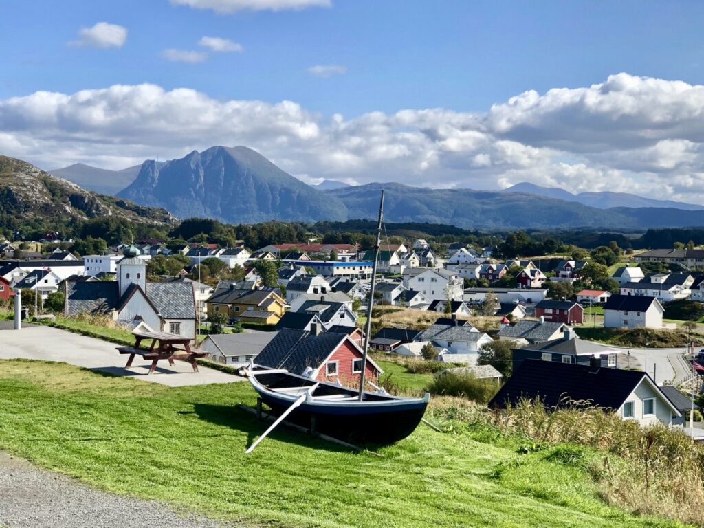
BUD – A FISHING VILLAGE WITH RICH HISTORY
The fishing village has a rich history, and in the 16th century, Bud was one of the largest trading venues between Bergen and Trondheim.
From the 1700s, clipfish (salt cod) became the primary commodity.
It is oil and gas that create great riches today. The Ormen Lange facility is located just outside the harbour in Bud. The plant is one of the most significant industrial projects in Norwegian history and supplies England with most of its gas imports.
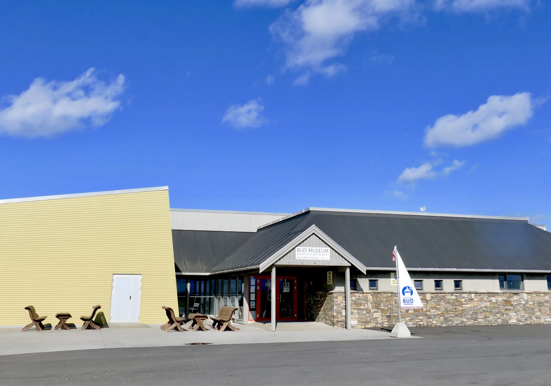
BUD COASTAL MUSEUM
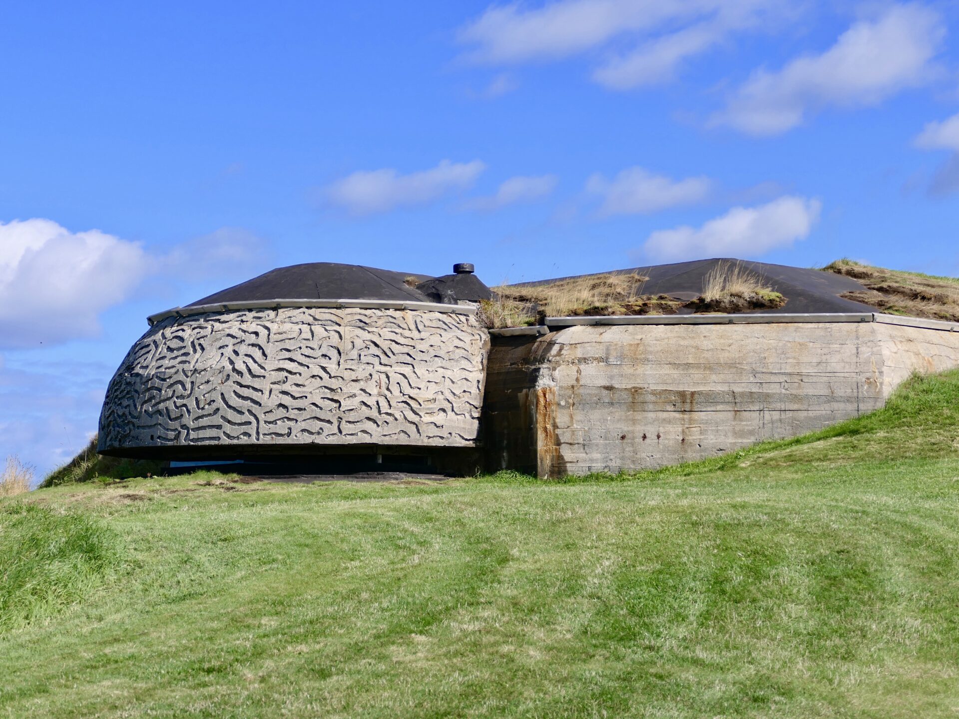
We had a stop at Ergan Kystfort, a German-built WW2 coastal fort, which today is a war memorial museum. The museum was not open for visitors when we were in Bud. Instead, we walked around the hill where the fort is. The restored German fort contains a command centre, cannon positions, sickbay and water reservoir built into the rock.
During World War II, large parts of the Norwegian coast was occupied, and Bud was one of these local communities under siege from 1940-1945.
Several historical war memorials are marked with information boards along the stretch Bud-Kristiansund.
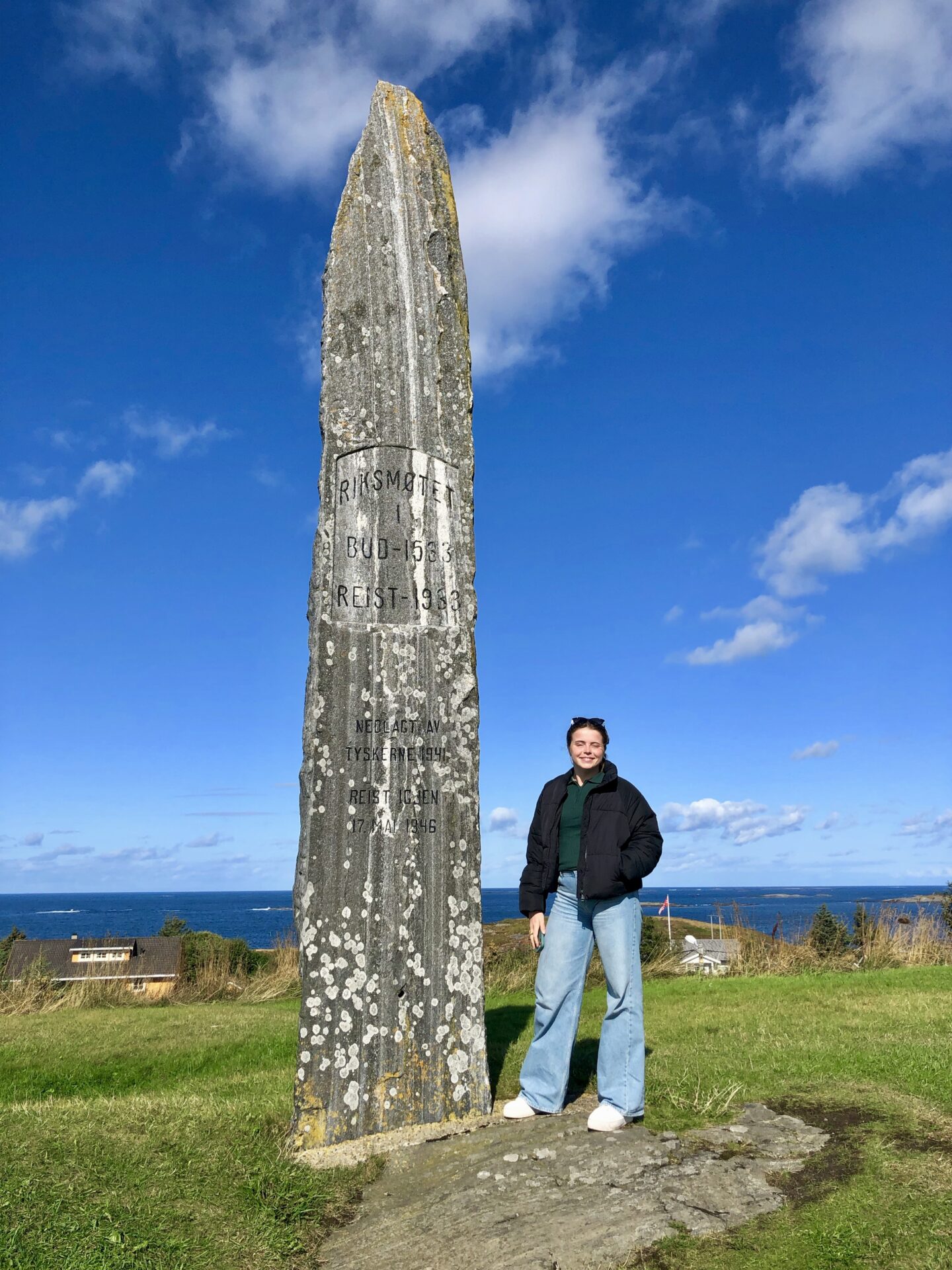
In his area, there is also a memorial of the National Assembly held in Bud in 1533. The last Archbishop of Trondheim, Olav Engelbrektson, assembled here the remaining members of the national council and representatives of the middle classes in order to push through the separation of Norway from Denmark through the election of a Norwegian King. It was a desperate attempt to stem the tide of the Reformation. The attempt failed, and Norway remained with the Danes.
The monument was raised in 1933 – 400 years after the meeting.
Ergan Fort is part of Bud Coastal Museum which also contains the Coastal Museum, a two-story cultural history exhibition about the cultural history, marine biology and maritime archaeology from Bud and the region.


My daughter by the memorial (National Assembly 1533), 
Bud Museum 
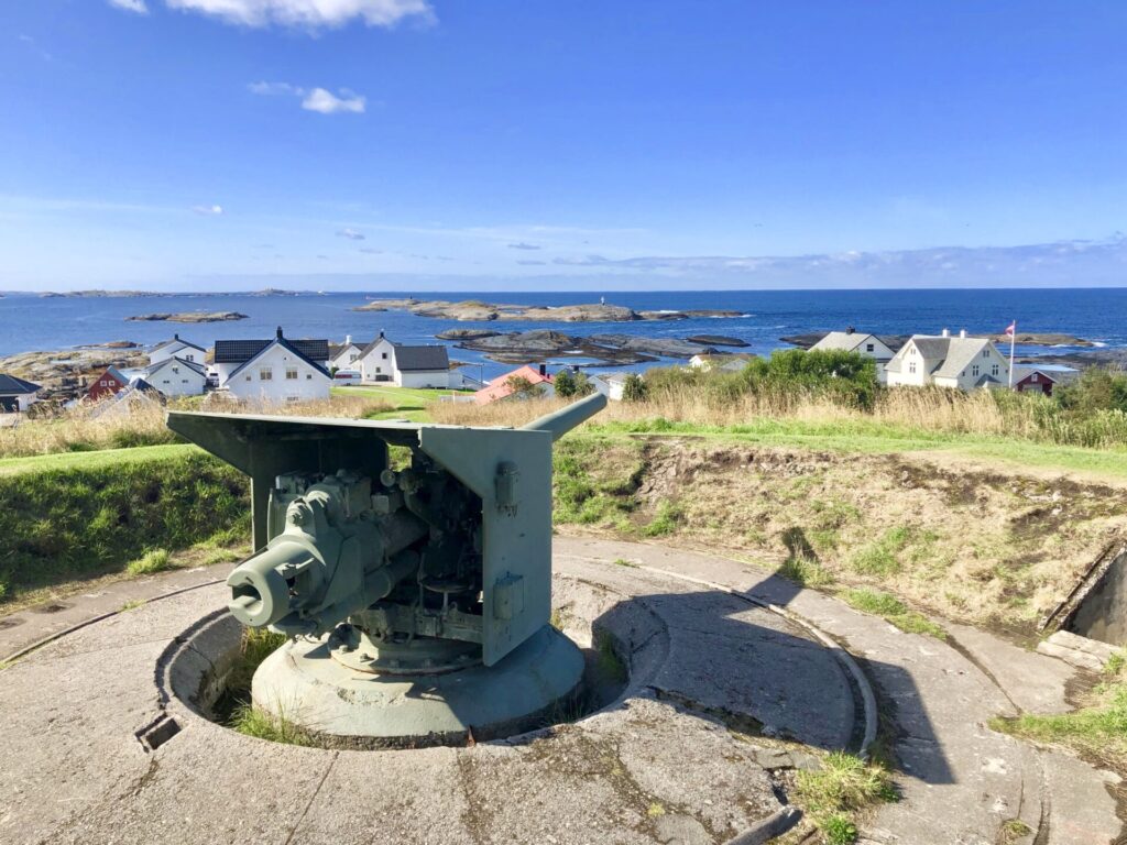
Canon position

Ergan Fort has exceptional views over the fishing village of Bud and the waters of Hustadvika. The second picture shows a small park located at the end of the parking lot – shows different rocks found in the surroundings.

A small park that shows which rocks are found in the area 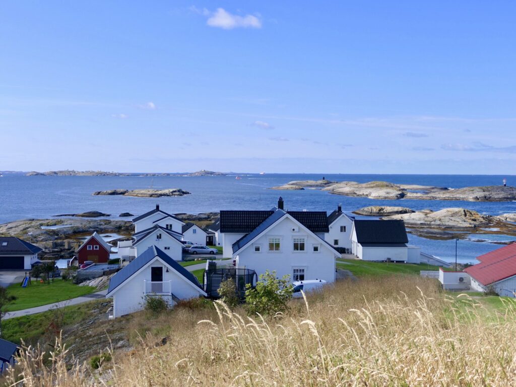
Just down below the museum is Bud Church. The white, wooden church from 1717 has a cruciform design with a unique onion-style dome and spire on top.
Bud Church – 1717
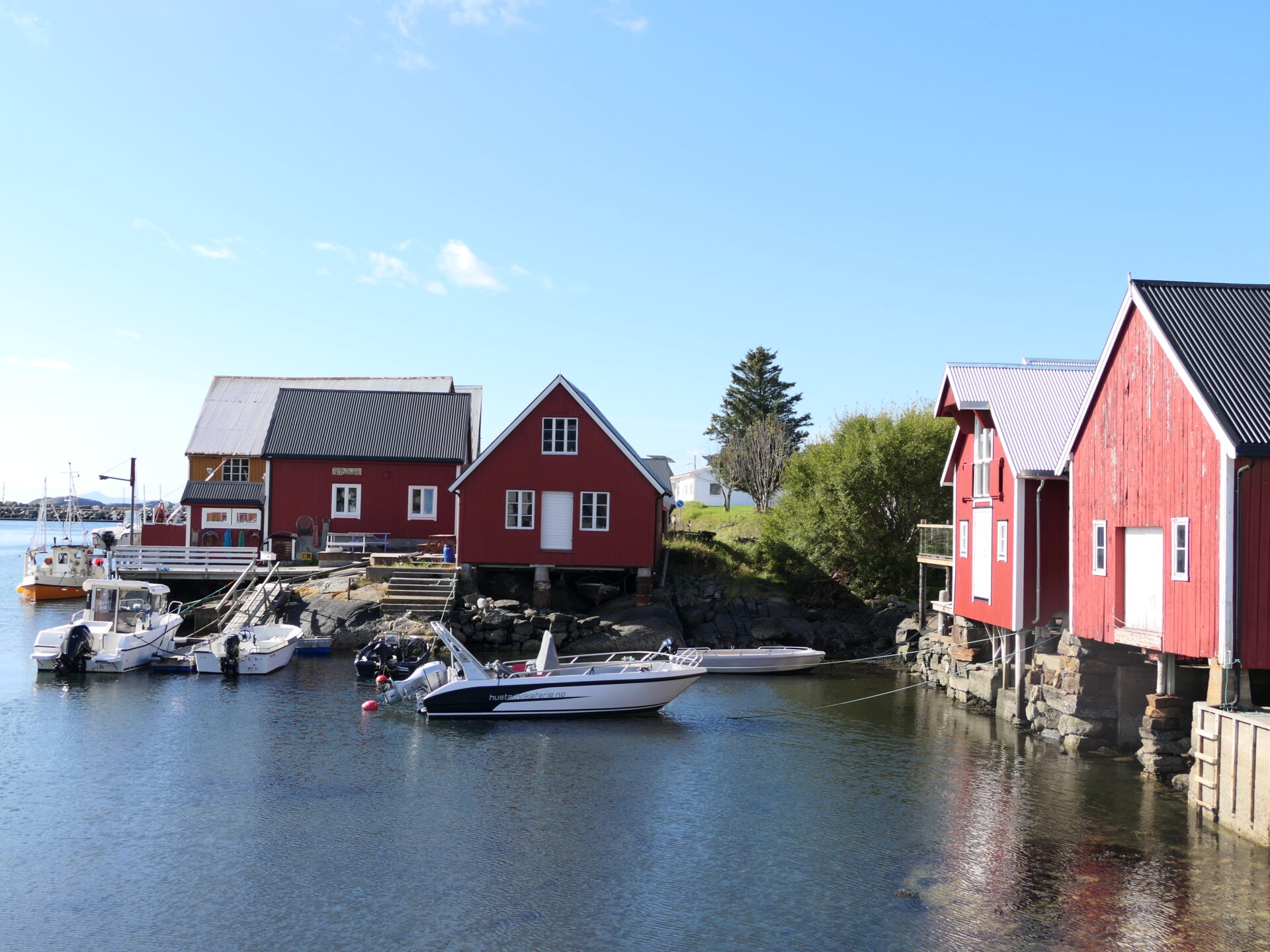
Bud has a charming harbour area. Some of the maritime buildings are modernized and used for restaurants and rorbuer (accommodation)
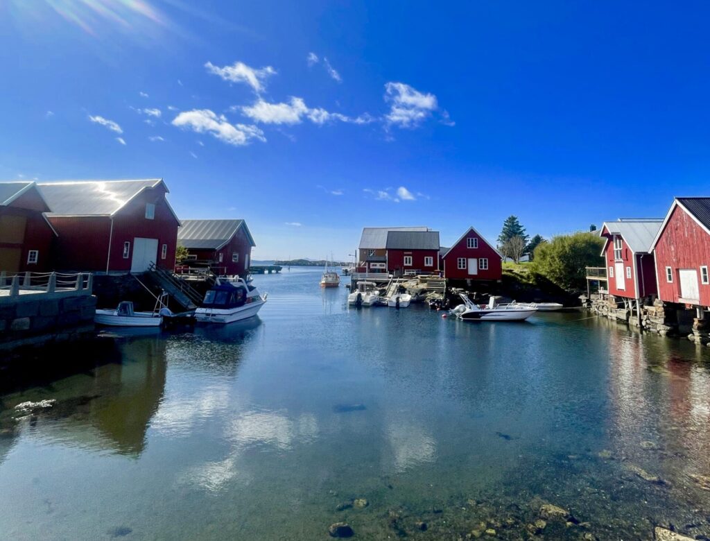
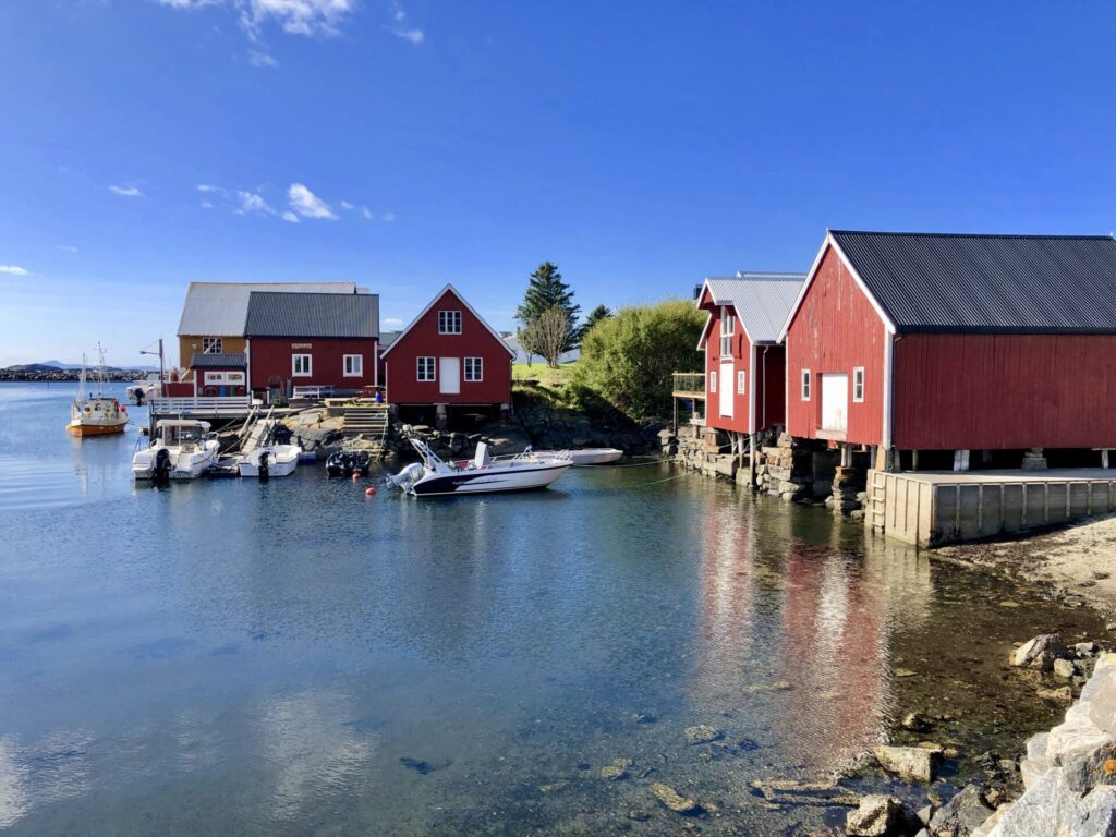

Rorbuer 
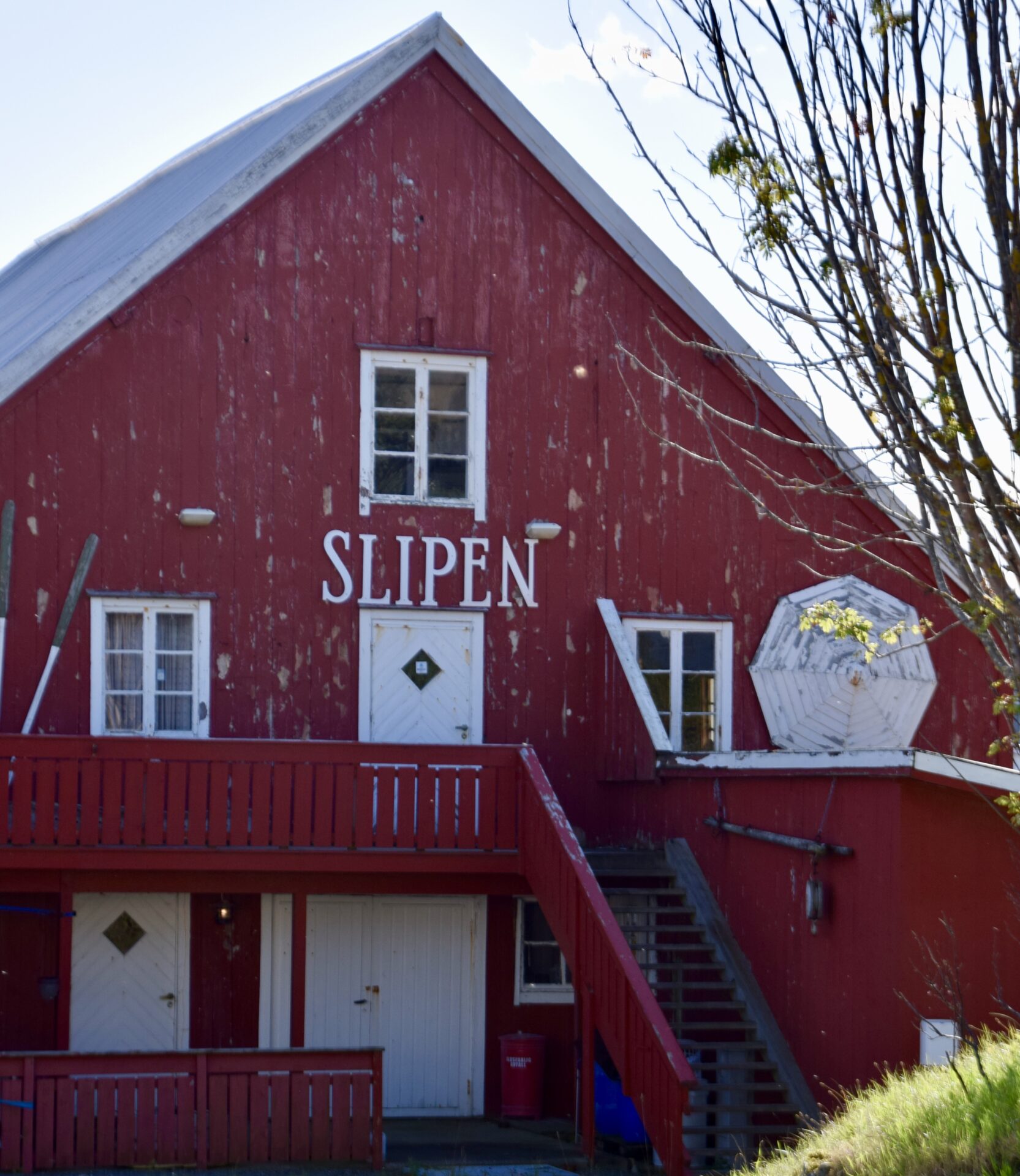
Slipen is a fishing restaurant in a maritime building from 1904


Bud makes the end of the Norwegian Scenic Route – Atlanterhavsvegen.
Follow me on other Norwegian Scenic Routes.
