
Jæren is completely unlike anything you will find in other parts of Norway. It has been said that you haven’t seen Norway if you haven’t seen Jæren.
Why is this flat area so special?
Jæren has a unique coastal landscape with long chalk-white sandy beaches,
a rich cultural heritage – and is one of Norway´s finest agricultural areas – to name a few.. Not to forget the special light by the ocean that has inspired many an artist over the years!
MAIN TOPICS
- LOCATION – GENERAL INFORMATION
- AGRICULTURE – LOCAL PRODUCTS
- DRY STONE WALLS
- JÆRLYSET – The magical light
- THE BEACHES
- JÆRHUS – a traditional house typical of the Jæren area
- JÆREN WETLAND AREA – BIRD WATCHING
LOCATION
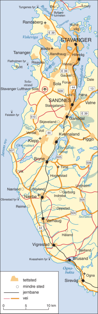
The coastal area of Jæren – is located south of Boknafjorden in Rogaland.
The actual Jæren, Låg-Jæren (the low flat area), is the 10-15 km wide border along the coast from Tungenes, the northern tip of the Stavanger Peninsula, to Brusand (near Egersund) in the south.
Jæren is not protected by islands; instead, a dangerous reef, Jærens Rev, lies about 3 miles (5 km) offshore. (outside Revtangen, the westernmost point of Jæren.)
Jæren compromises 8 municipalities; Stavanger, Sandnes, Sola, and Randaberg in the north part, and Hå, Klepp, Time, and Gjesdal in the south part.
This area of approximately 700 square kilometres is Norway’s largest lowland plain.
Map from snl.no
Already around 2.500 BC Jæren was one of the main areas in Norway that began to create wealth for emerging farming communities. Oats, barley, pigs, cattle, sheep and goats became commonplace.
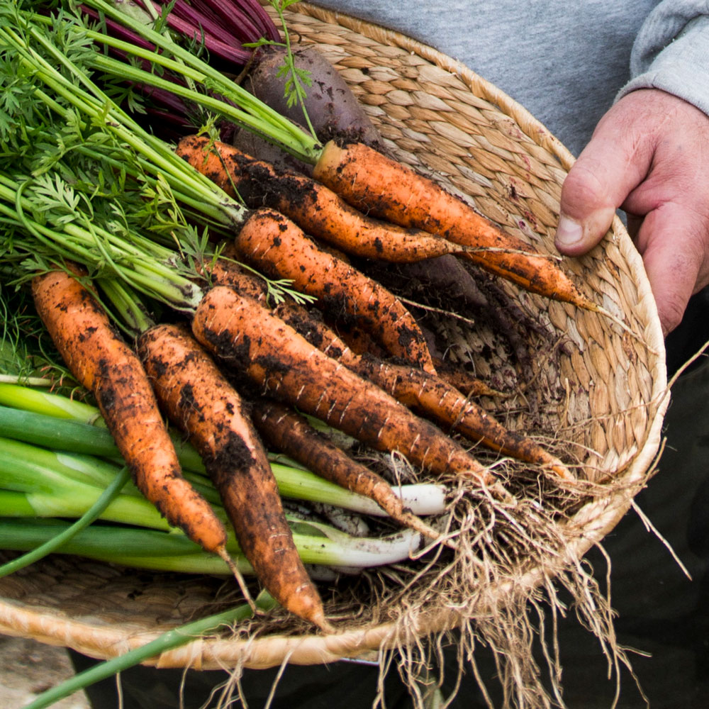
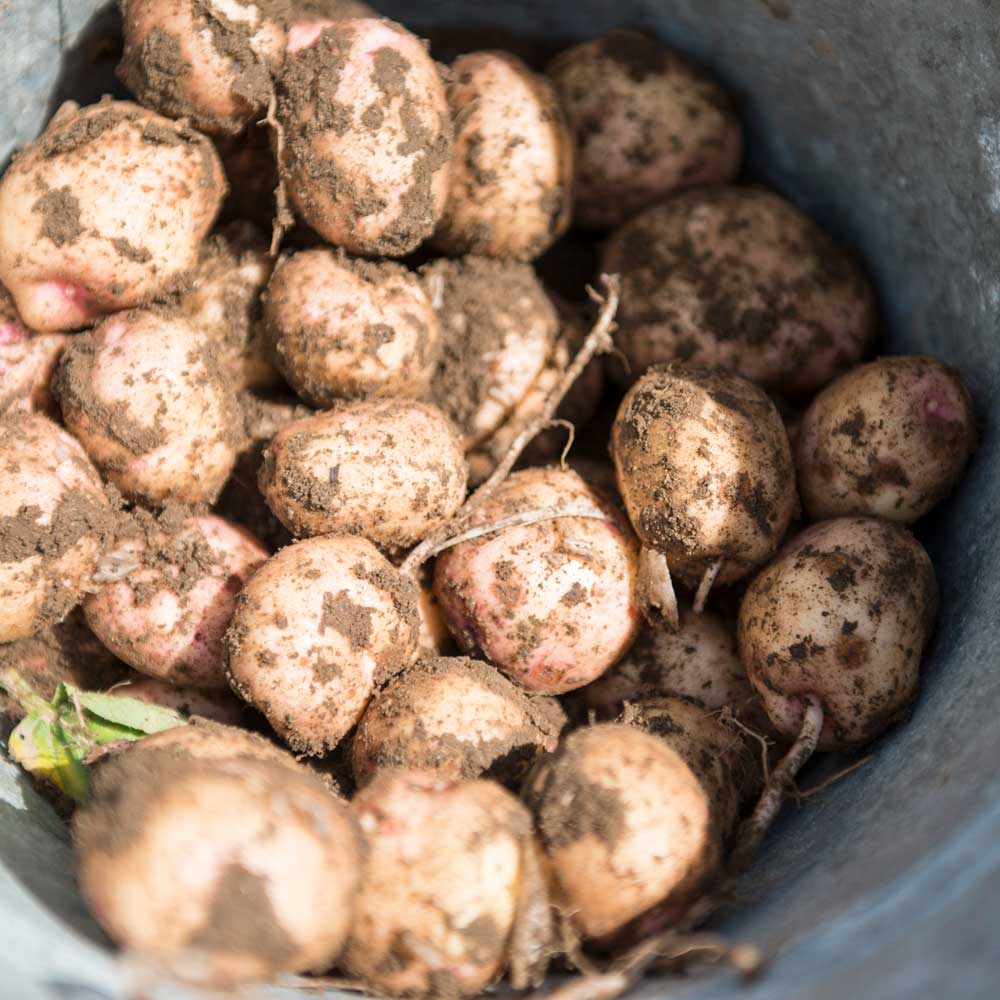
The fertile soil of the plain, composed of glacial deposits of sand and clay—and the mild winters of the region make Jæren one of Norway’s finest agricultural areas.
AGRICULTURE – LOCAL PRODUCTS
Despite the fertile soil – it was not until the middle of the 19th century, the agricultural resources were properly utilized – thanks to technical innovations, improved communication (Jærbanen opened in 1878), and the development of agricultural cooperatives
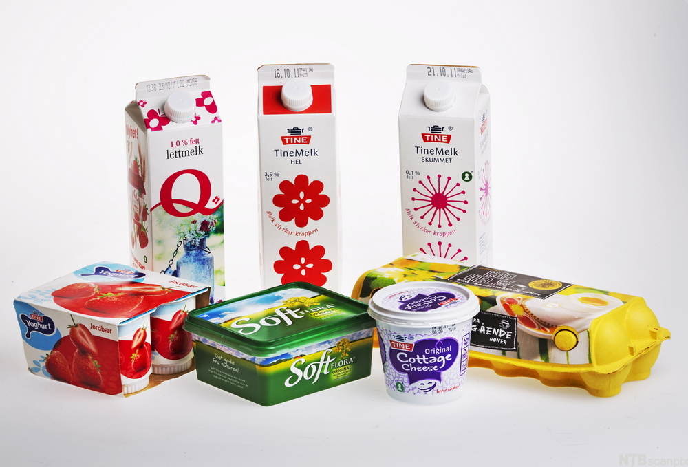
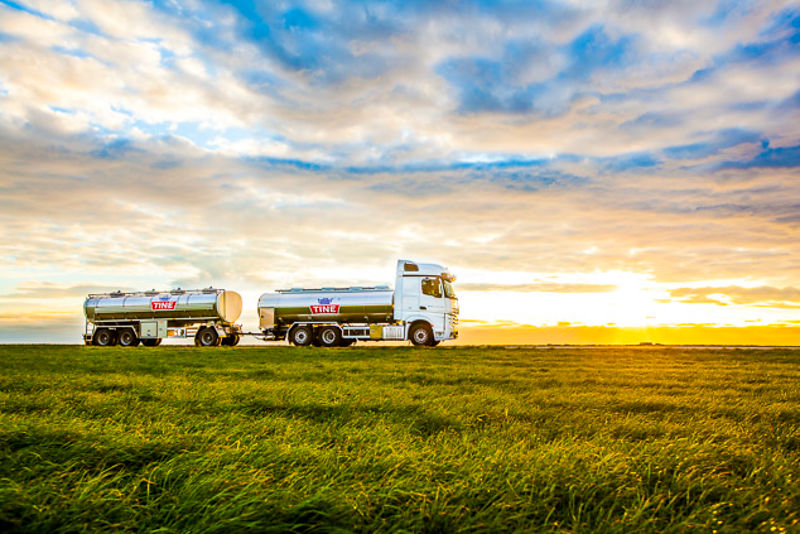
A big part of the industry on Jæren, besides the petroleum sector, is linked to or developed in the wake of agricultural activities, such as the food industry (dairies, slaughterhouses) and the production of agricultural implements and agricultural machinery.
The main emphasis in agriculture is on livestock production: milk production, pig and chicken farming, as well as sheep farming on Høg-Jæren.
Jæren is for instance the main supplier of milk to the city of Stavanger.
It is becoming more and more important for both local shops and restaurants to use local products. Some farms at Jæren also have farm sales of products – where it is possible to buy vegetables, eggs, and few places also meat.
You also find a growing appetite for the Stavanger region’s local food at several food and drink festivals, with Gladmatfestivalen in July as the biggest of its kind.
In Bryne you will find a Potato festival in September – a joyful celebration of local potatoes – with activities like different potato competitions, tractor parade, and sale of local products.
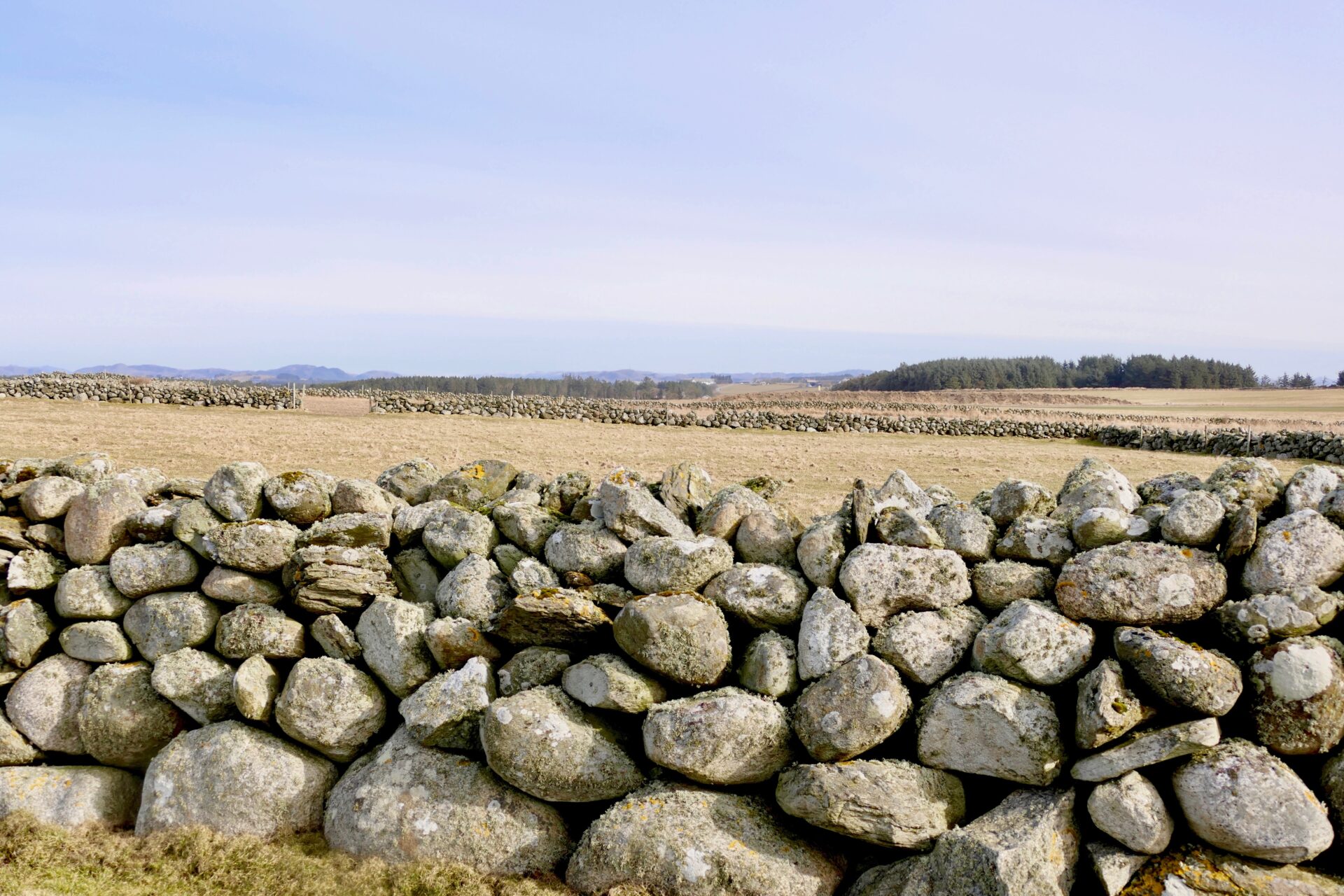
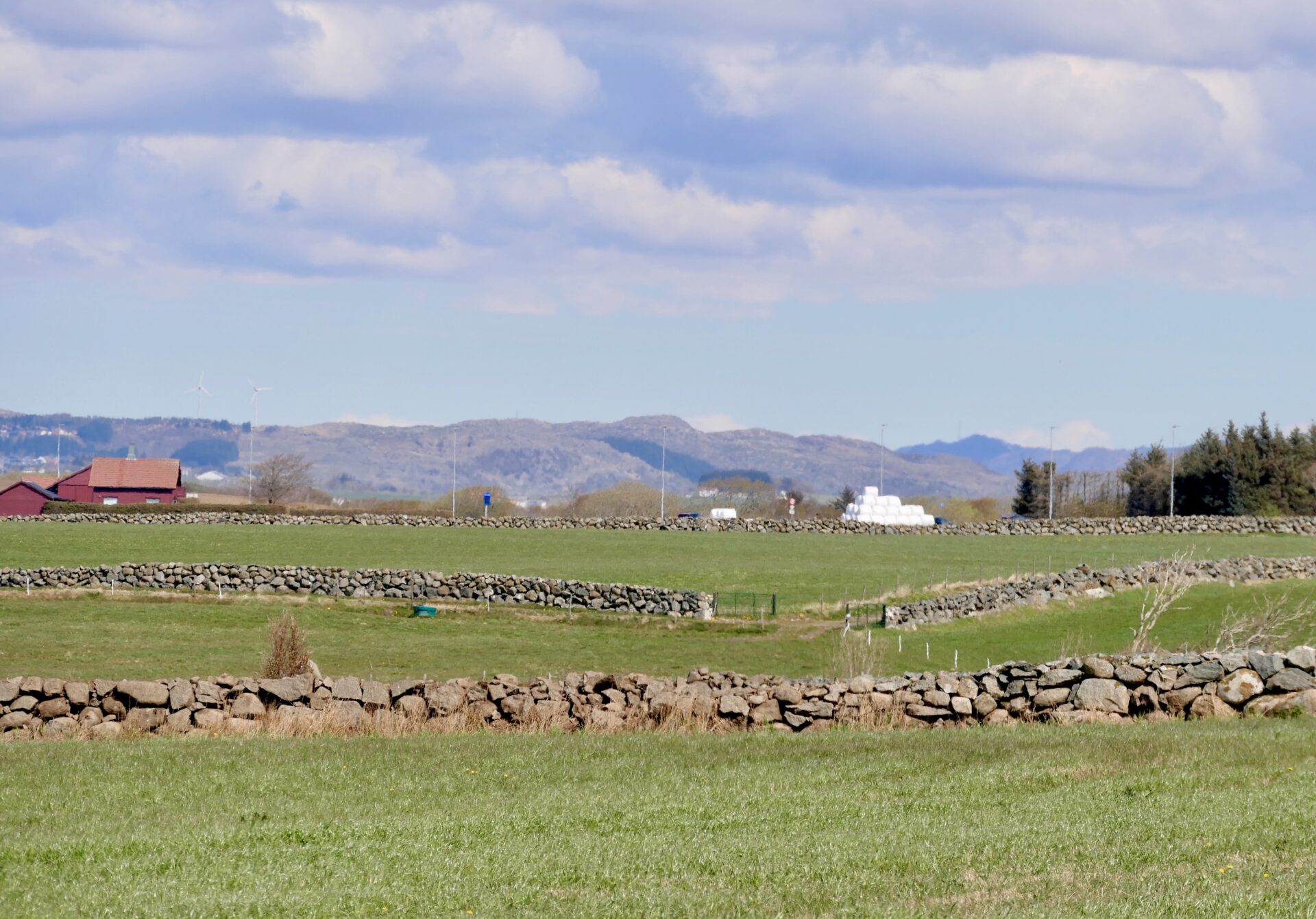
DRY STONE WALLS
Dry stone walls are a common sight on Jæren. You will find them crisscrossing everywhere, and it is quite typical for this area.
This is a result of previously hard, manual work, and a practical way of getting rid of the stones. Several uneven and rounded stones, many the size of boulders, were scattered all over the Jæren area, left behind from the retreating and melting glacier 10 000 years ago!
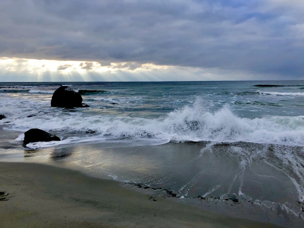
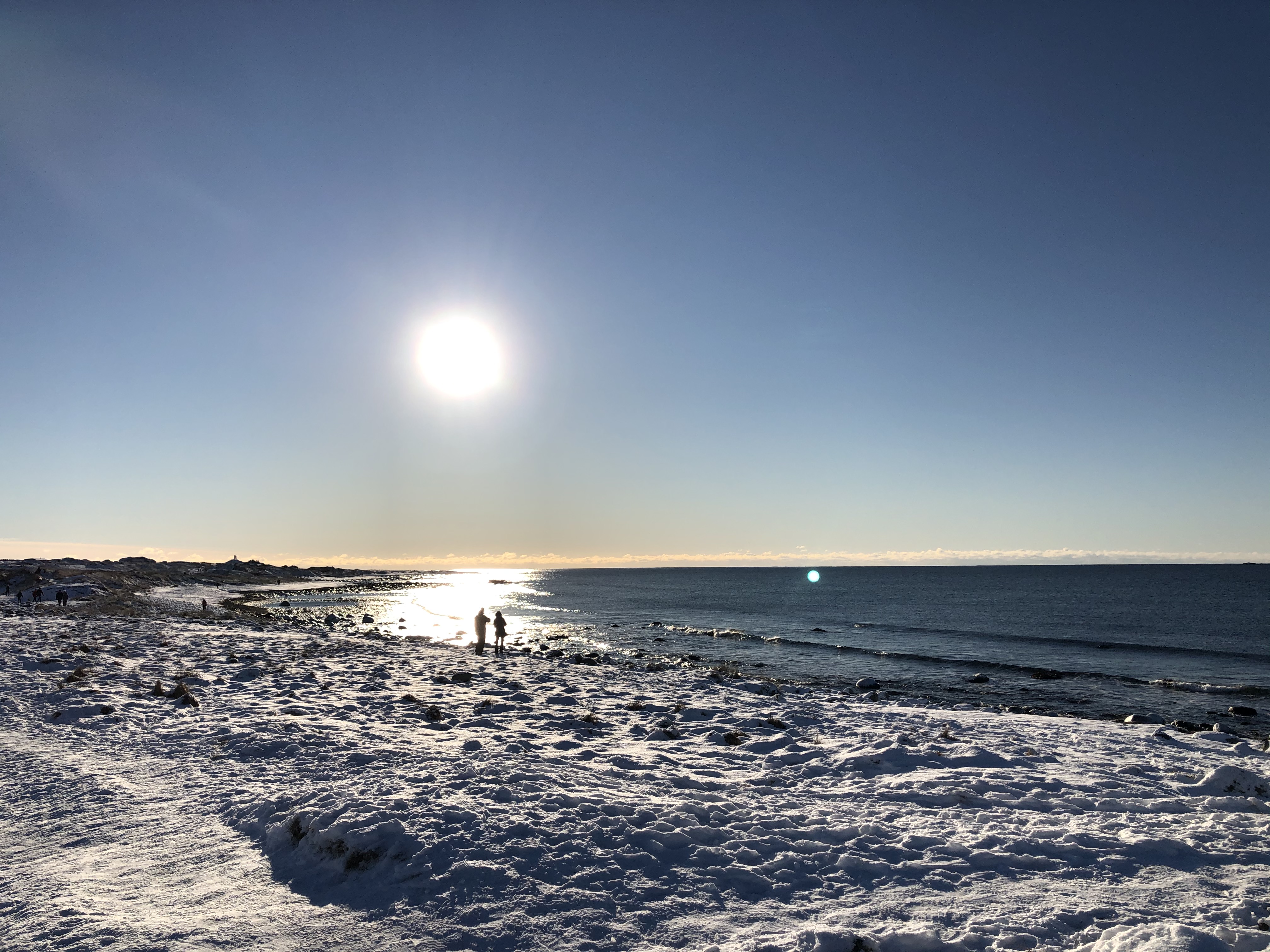
JÆRLYSET – THE MAGICAL LIGHT
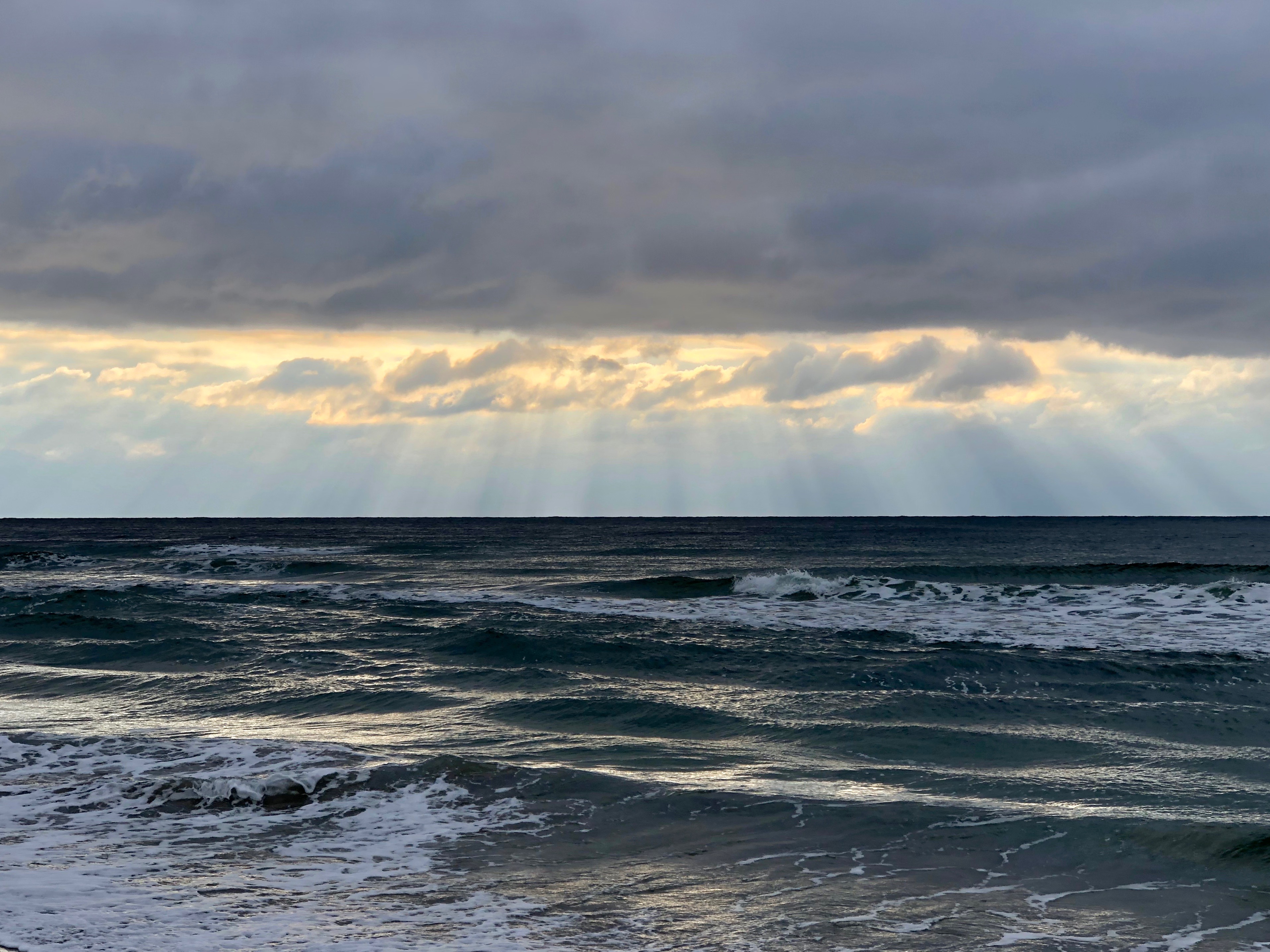
Jærlyset – the special magical light when the sunbeams are breaking through clouds and hits the ocean and beaches. This phenomenon has inspired many Norwegian painters over the years – as well as photographers and hikers along the beaches.
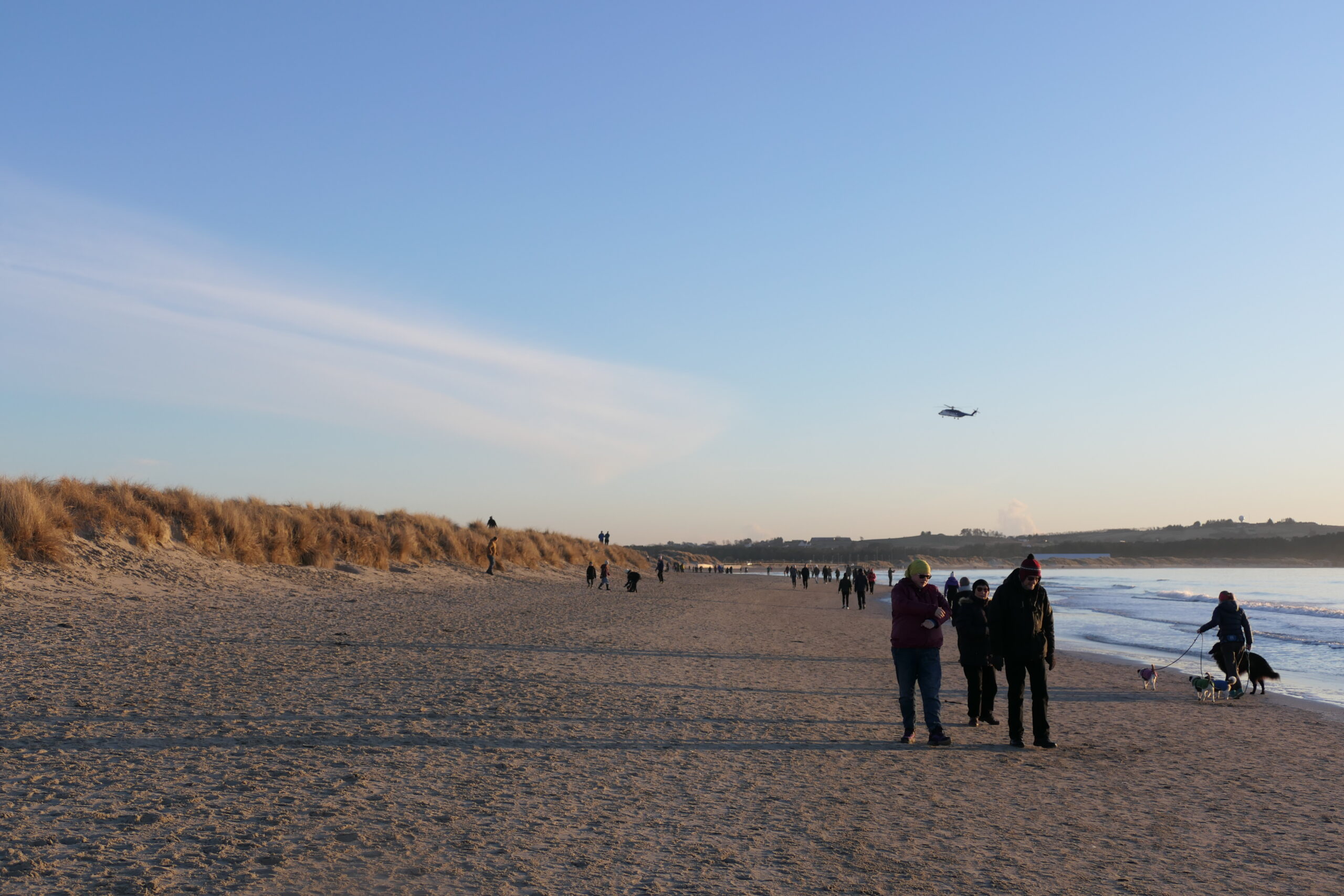
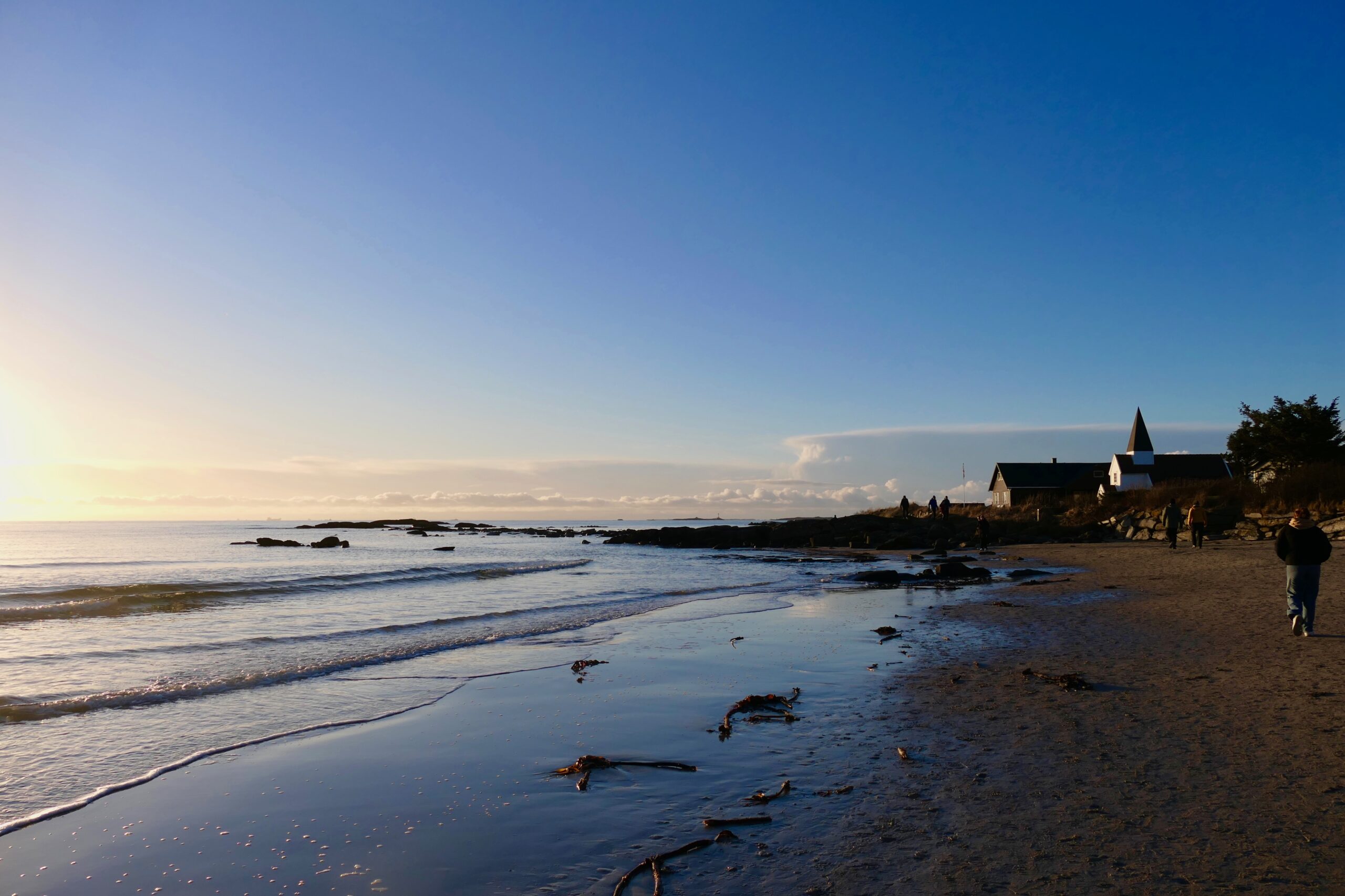
THE BEACHES
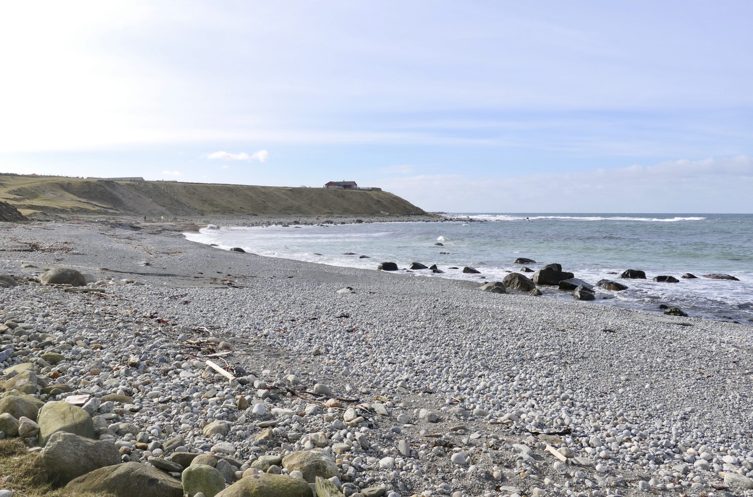
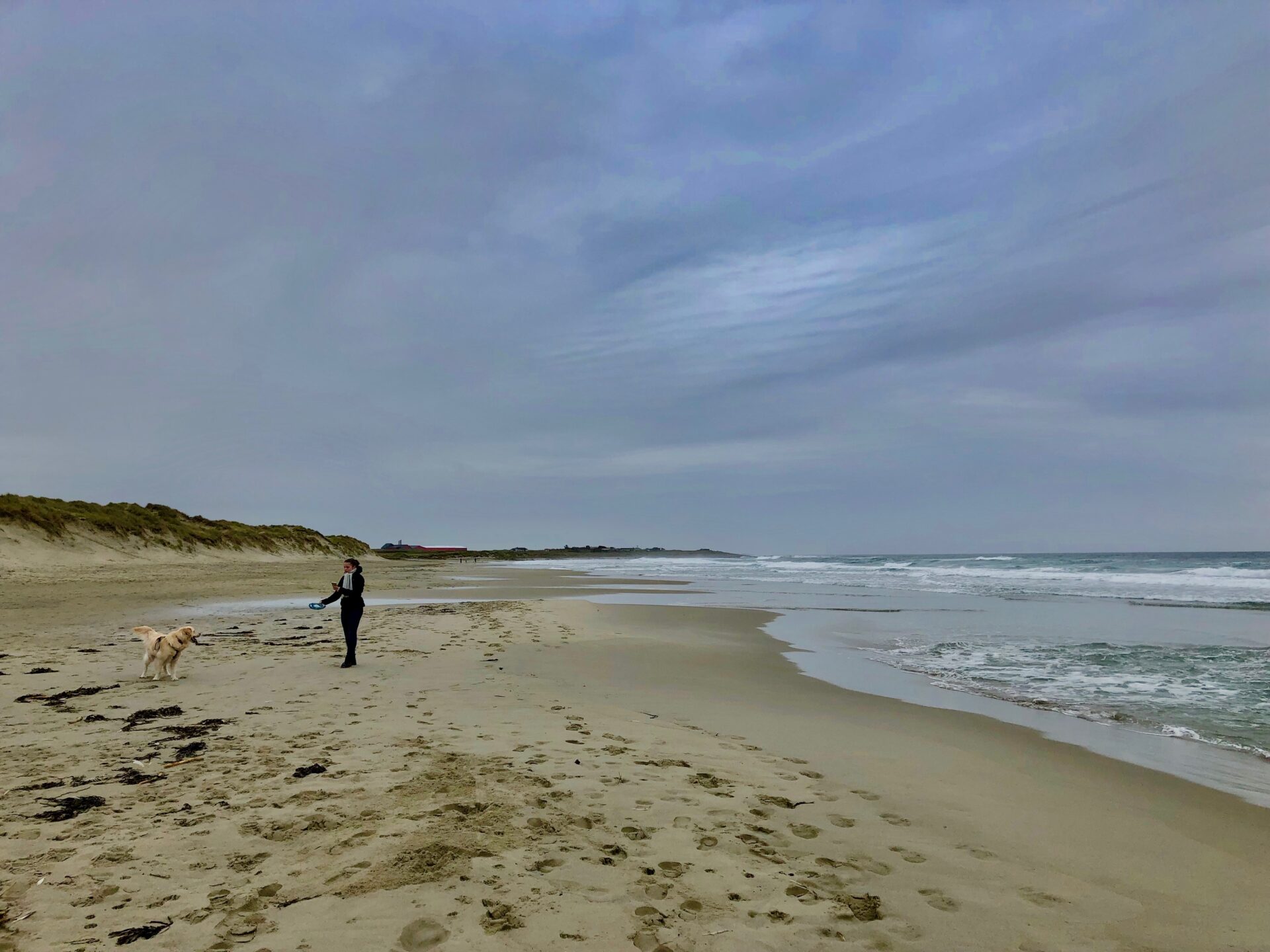
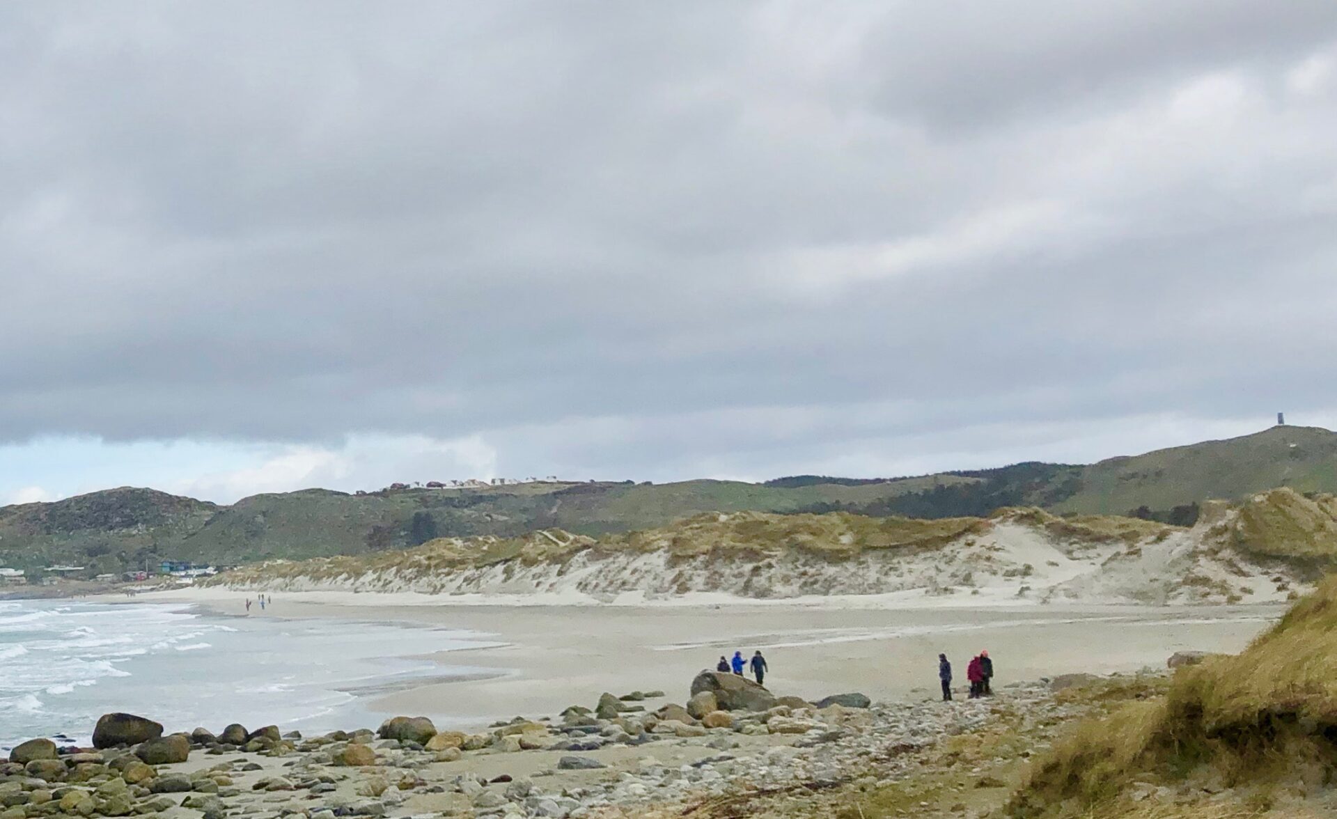
Jæren is famous for its chalk-white sandy beaches which you can find both north and south of the Stavanger area.
The beach area called Jærestrendene is in fact the large area from Tungenes in the north to Sirevåg in the south – a total length of 70 km.
The area is a mix of 25 km of sandy beaches, the rest is pebble beaches and moraine coast.
Among the sandy beaches at Jæren, you will Norway’s longest sandy beach, Orrestranden, which is five kilometres long.

Jærstrendene landscape conservation area
Be aware that huge parts of the Jæren beaches are protected landscape areas. The beaches of Jæren were protected already in 1977, and in 2009 it was revised to what today is called the Jærstrendene landscape conservation area. Parts of the beaches are additionally plant and bird protection areas. Some areas of the landscape protection area are also part of the Jæren wetland system, protected as an internationally important wetland area. You must always visit on foot.
The Jæren coastline is acknowledged as an international Hope Spot by the organization Mission Blue. Hope Spots are special places critical to the health of the ocean – the blue heart of our earth.
The following beaches are signposted:
Ogna, Brusand, Nærland and Refsnes (Hå), Orre and Bore (Klepp),
Hellestø, Byberg, Vigdel, Ølberg and Solastranden (Sola),
Viste and Sande (Randaberg).
Recreation – Activities
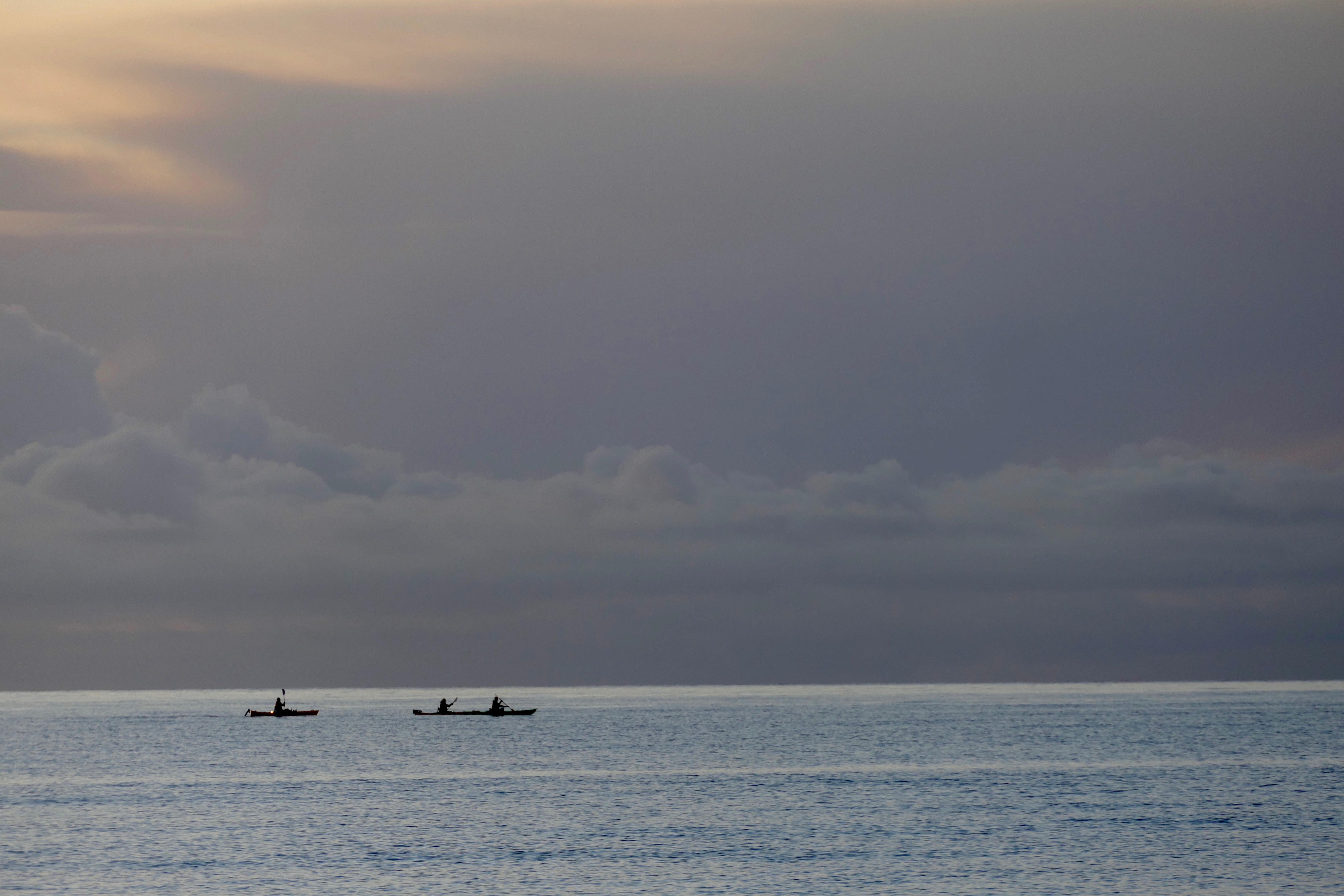
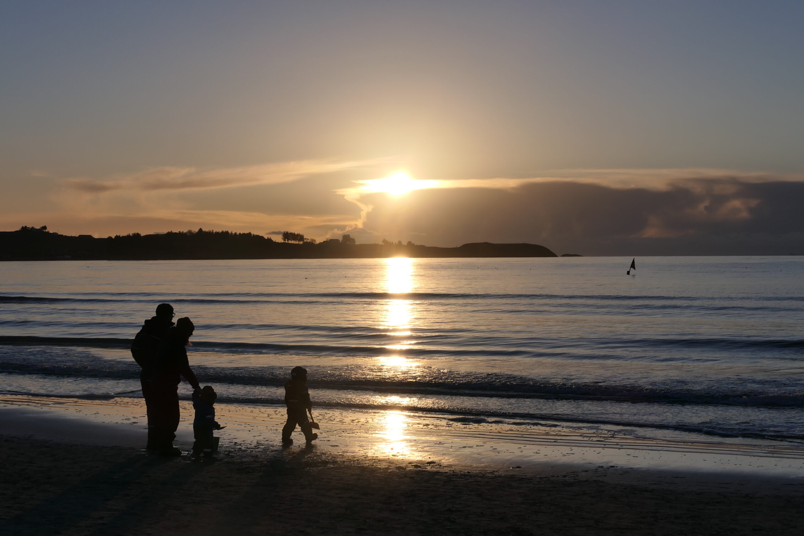
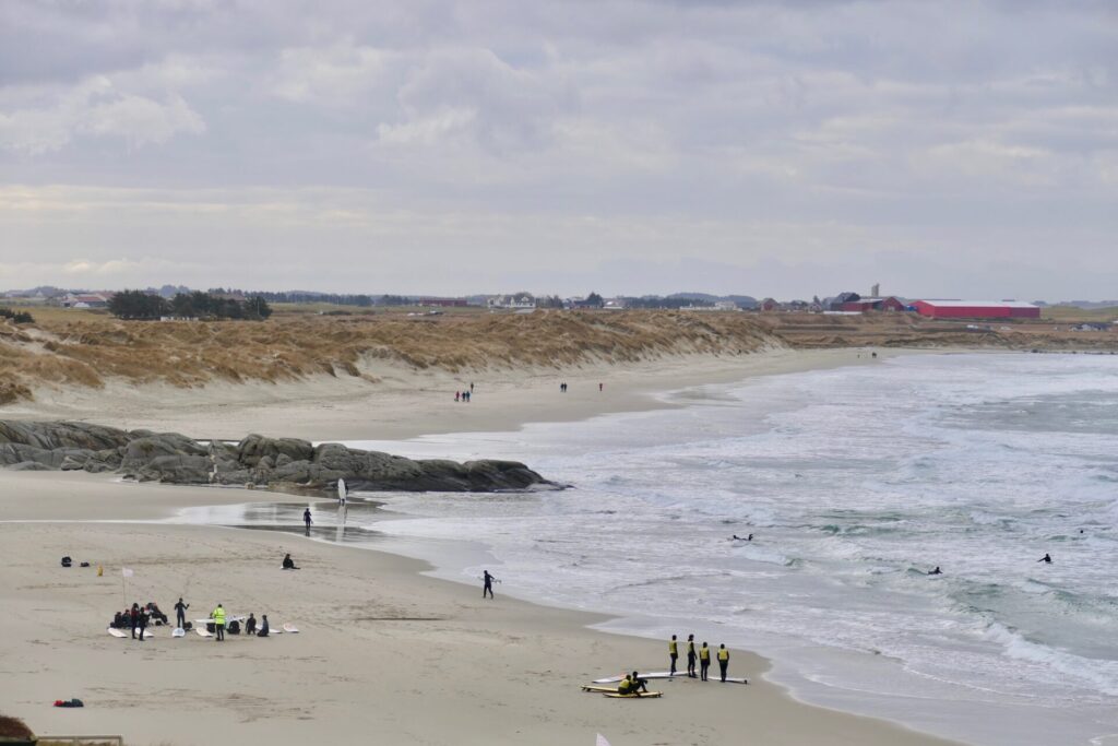
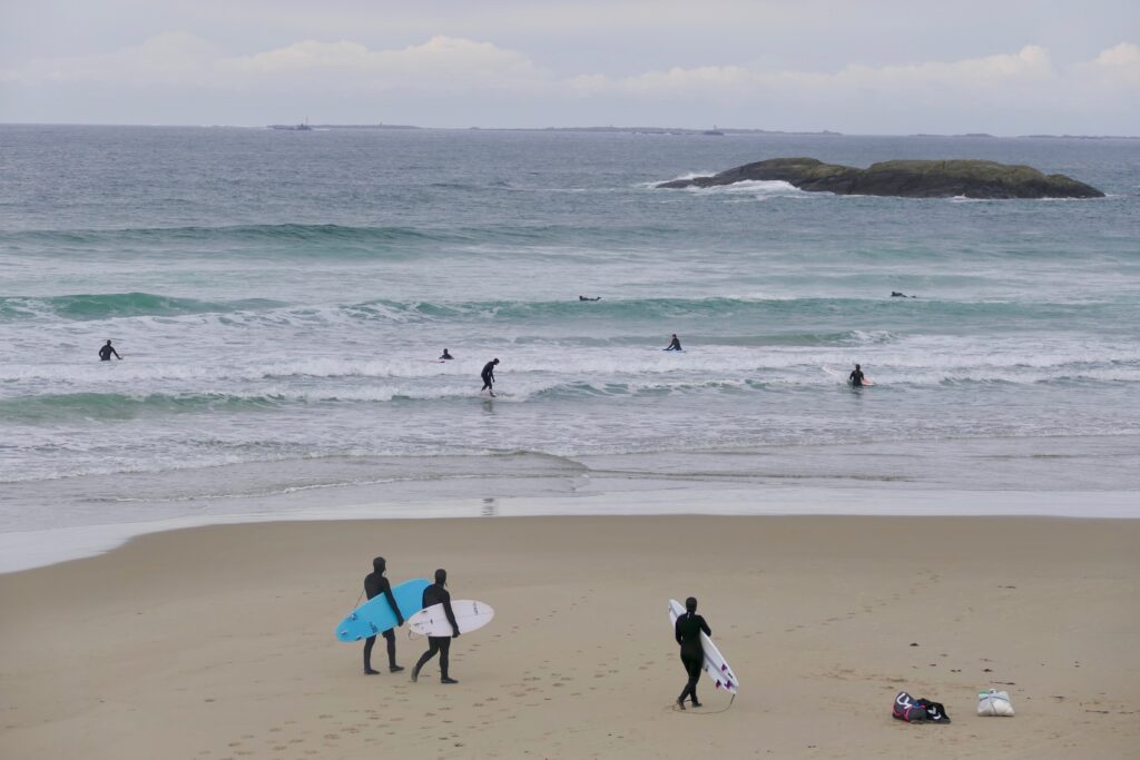
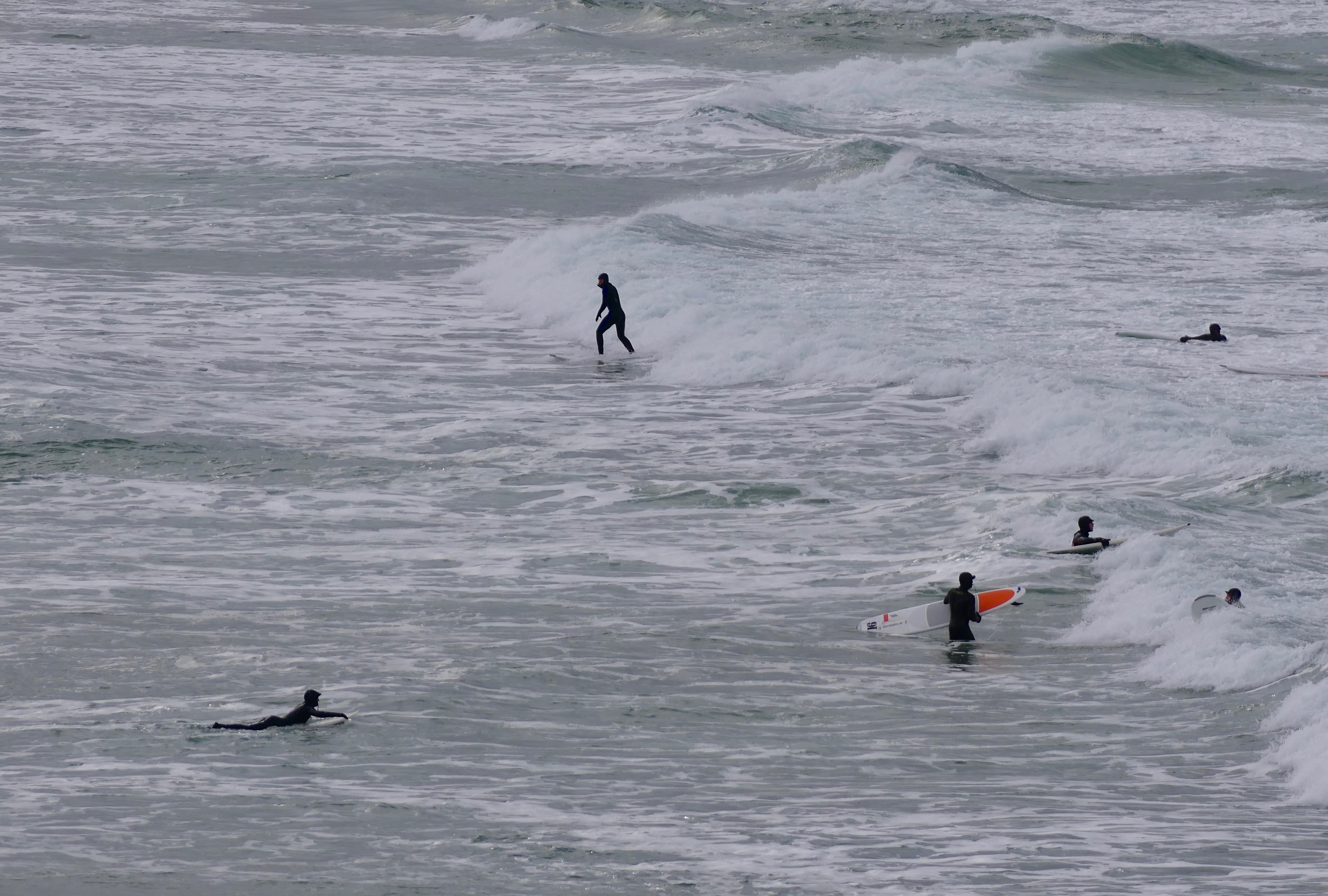
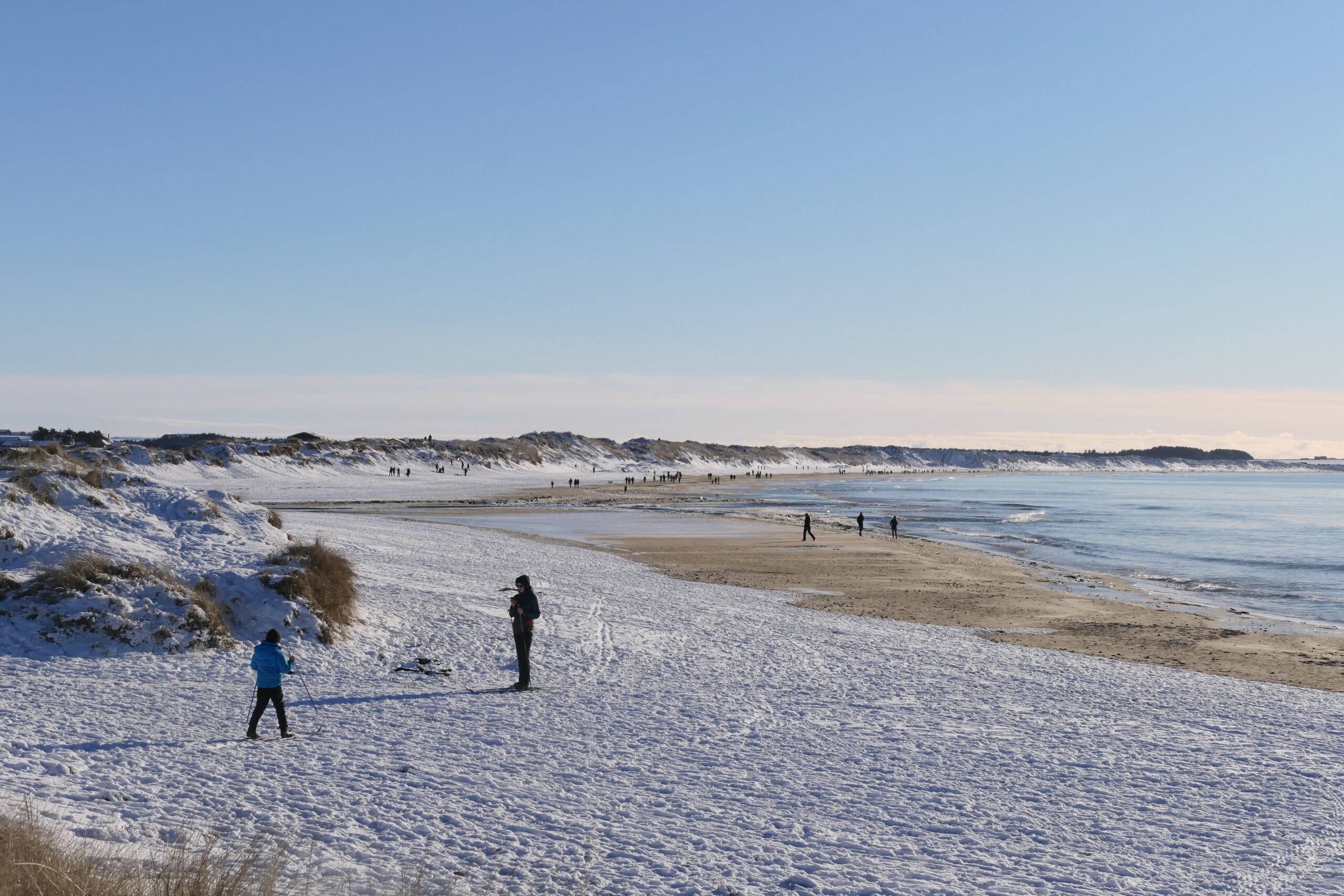
The beaches are popular not only in the summertime for sunbathing and swimming- they are popular all year round. The locals love to hike along the beaches, and there are both short and long coastal hikes – great for body and soul! People of all ages also love to do different kinds of sport at the beachside – like kayaking, surfing, kite flying, and kitesurfing.
Remember it is prohibited to surf/board sail/kite on beaches affected by bird protection (1 Oct – 31 March). Kiting is only possible on the following beaches: Sola, Hellestø, Byberg, Bore and Brusand.
Here is a presentation of some of the most popular beaches;
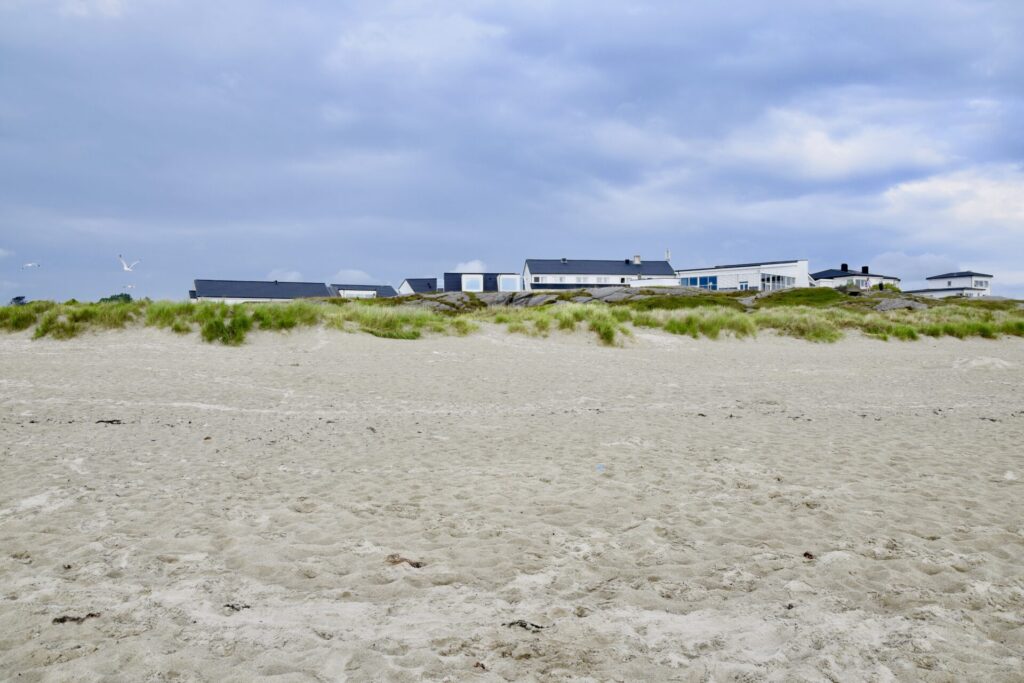
SOLASTRANDEN – SOLA BEACH

For us living in the Stavanger region – Solastranden is the nearest sandy beach – and it is very popular both for locals and tourists.
This beautiful beach is a 2,3 km long beach and located close to the airport. Sunday Times has named it one of the world’s most beautiful beaches!
I have visited the beach many times over the years, both for walks, sunbathing, and swimming. It is also a well-used spot for wind- and watersports.
In the north of the beach, we find cabins, a conference centre and even a small chapel.
In the middle of the beach, behind the dunes – lies the historic Sola Strand hotel – dating from 1914. Sola Strand Hotel is a member of “De Historiske Hotel” – offering 135 rooms, a well-regarded kitchen, unique banqueting rooms, modern course and conference facilities, and a spa.
If you are more into camping – there is a campsite south of the beach.
The southern end of the beach has traces of WWII structures. The ruins are close to Rægestranden, a lovely little beach next to Sola Beach. Several fascinating street art paintings on these ruins:
From a walk at Solastranden – just before sunset– February 2021:
HELLESTØSTRANDEN – HELLESTØ BEACH
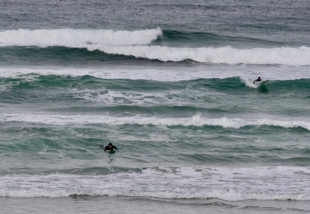
A beautiful long sandy beach located west of Tjelta, and about 7 km drive from Solastranden. Hellestø is known for the kite festival taking place here in the summer season since 1990.
It is also a popular place for bathing and walking, and watersports like surfing, kayaking, and kiting.
Surf school at Hellestø – March 2021:
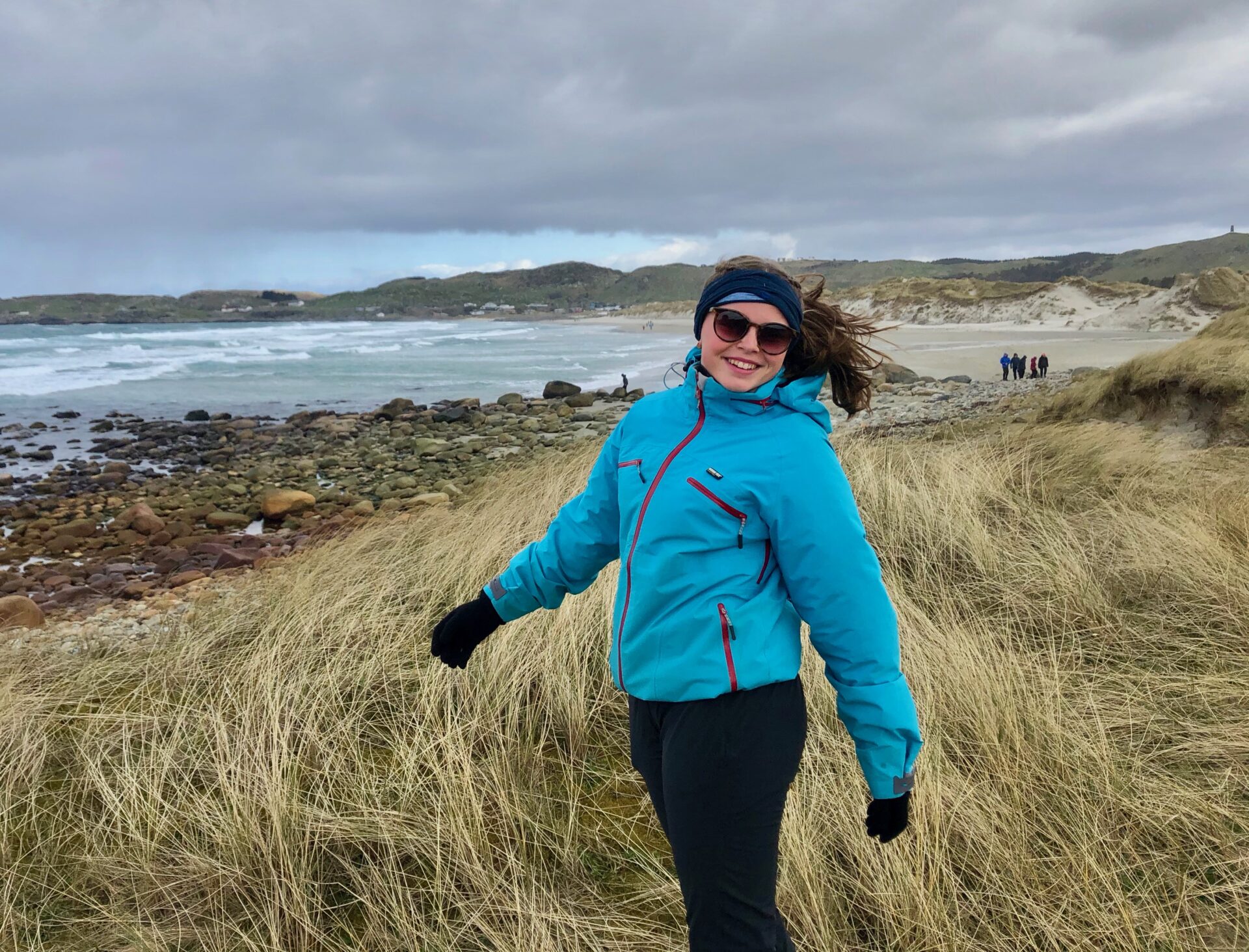
From a walk on Hellestø
– a windy day in April :
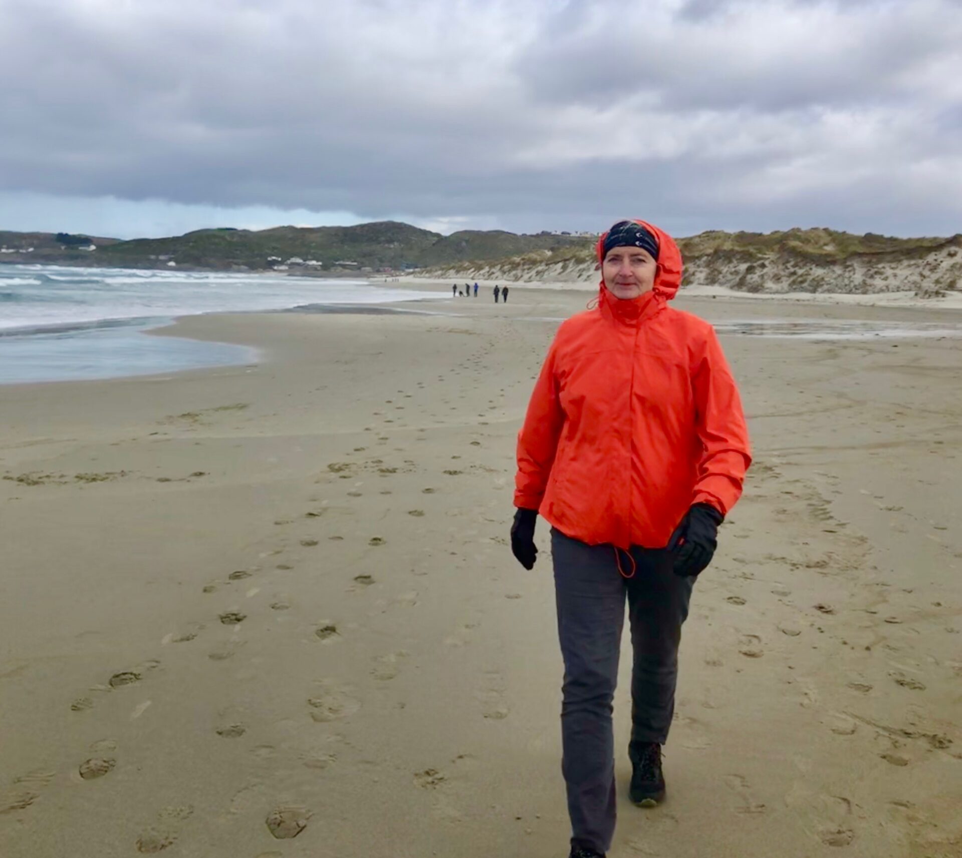
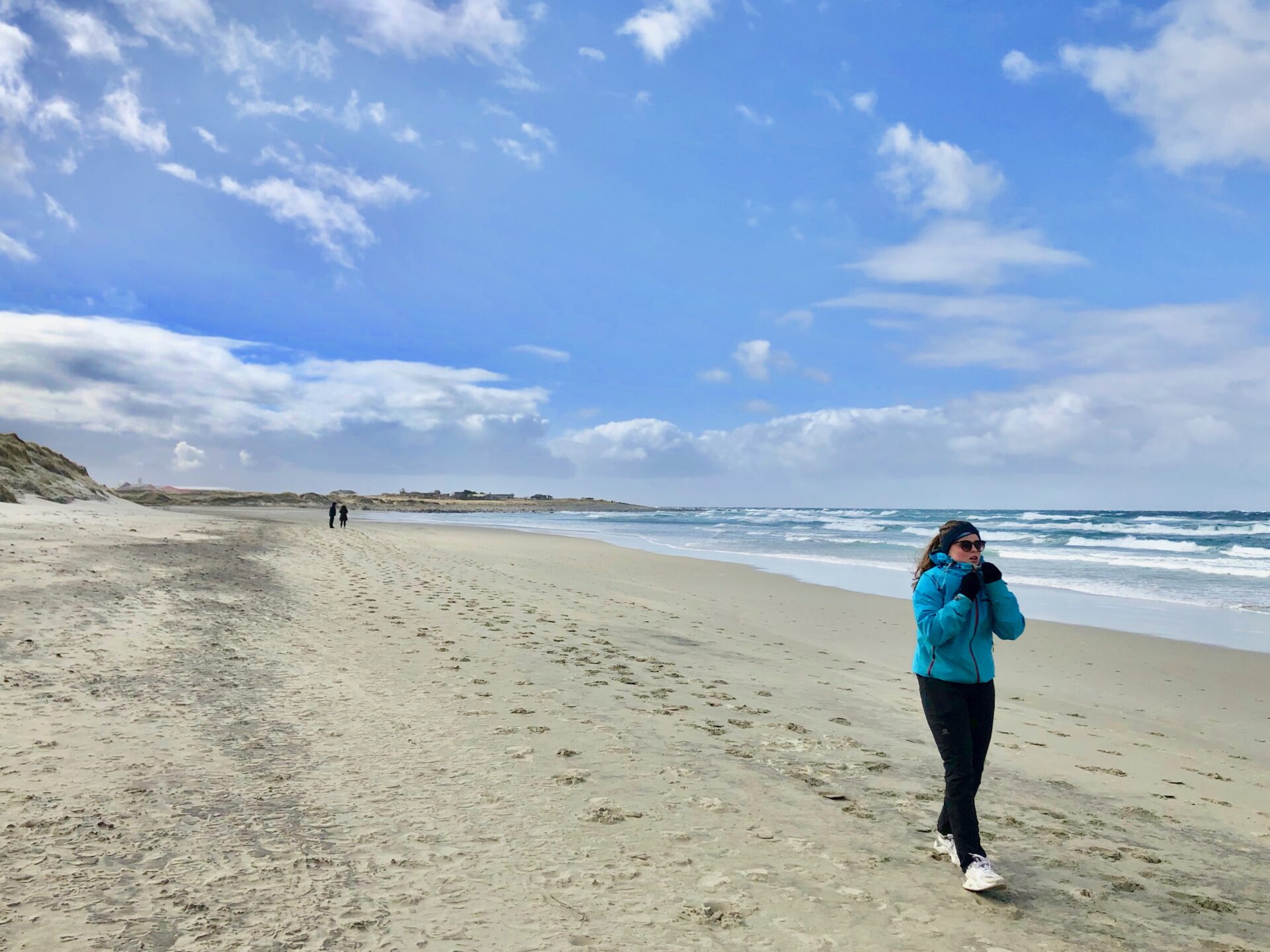
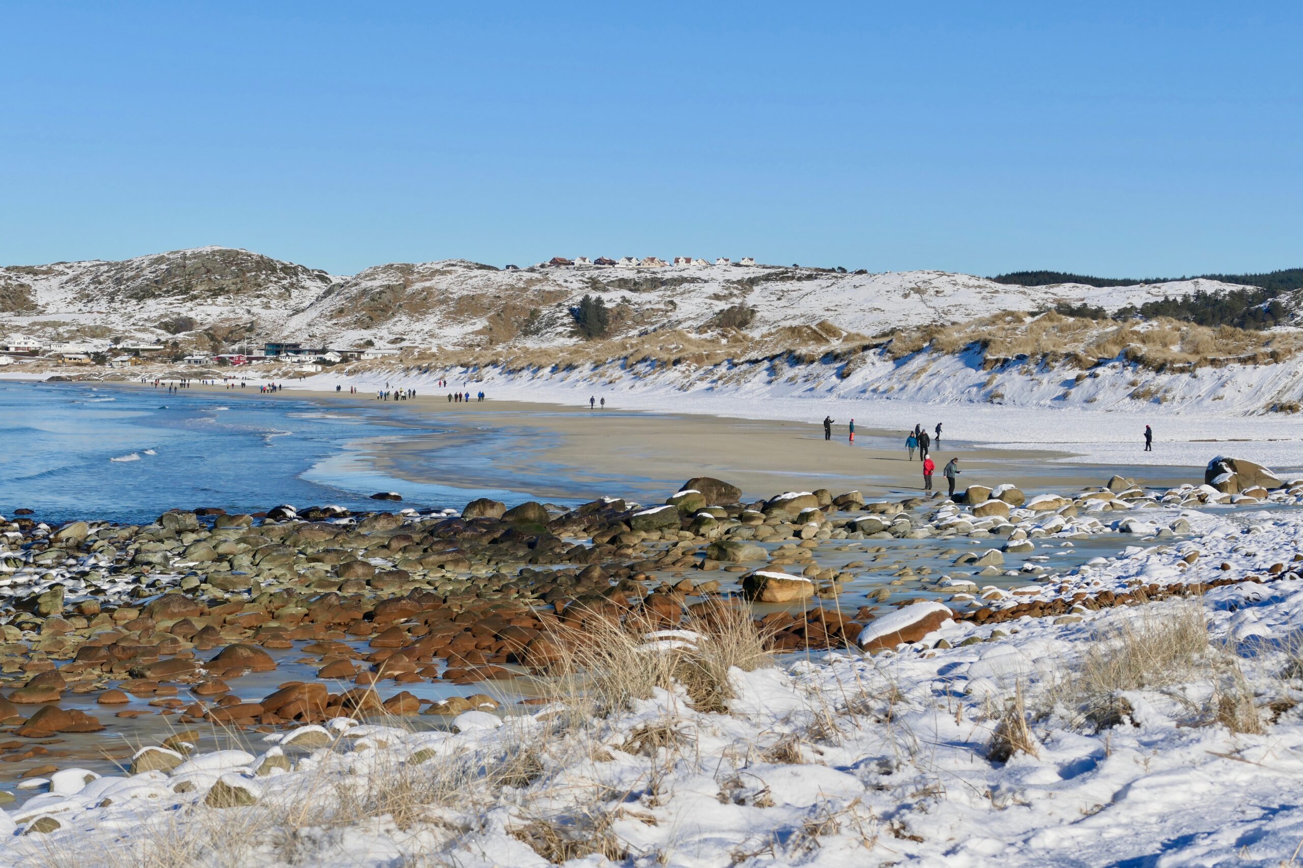
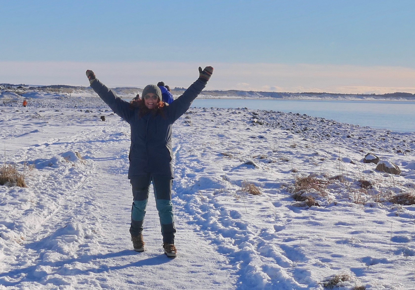
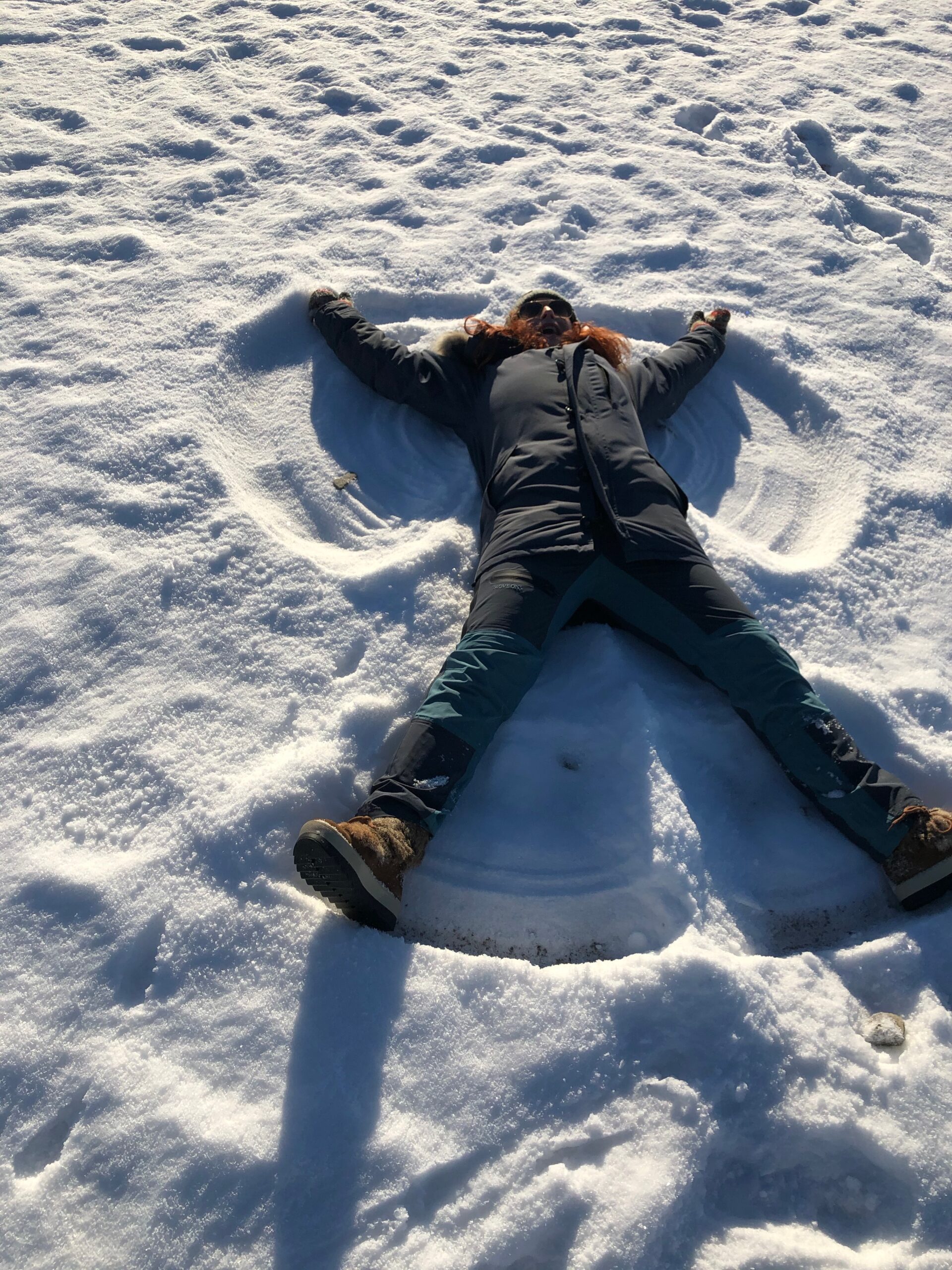
Walks along the beaches are also fun in Wintertime.
A hike from the HELLESTØ to SELE
– January 2021:
More beaches at Jæren – in the article ” Norwegian scenic route – Jæren”
where you can find information about these beaches:
JÆRHUS
– a traditional house typical of the Jæren area
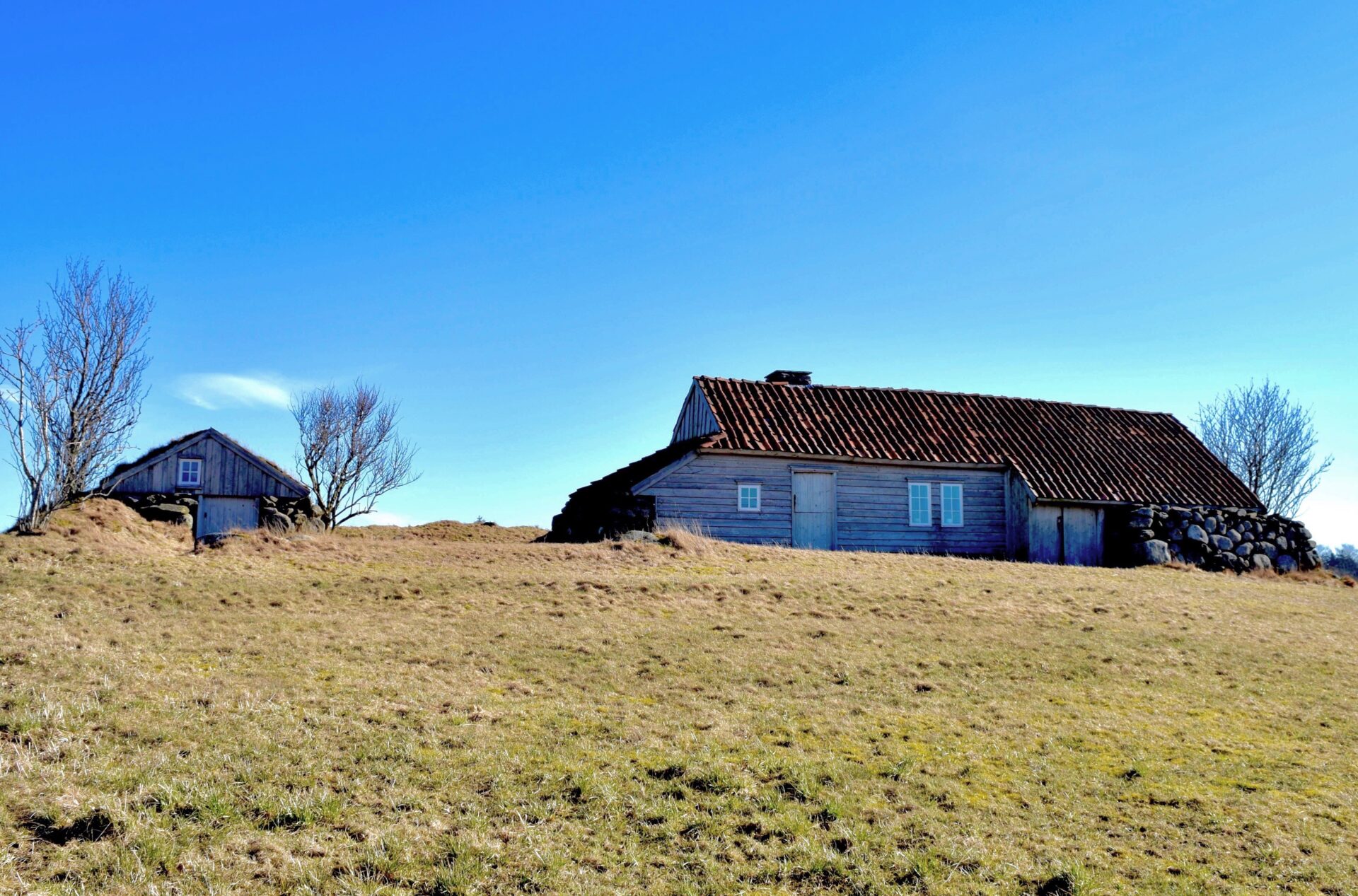
JÆRHUS – was a typical feature of Jæren towards the beginning of the 20th century. These buildings have a low extension in either end and were built to face the northeast to provide shelter from the wind. A JÆRHUS has a central hallway between the main entrance and the back door, both in the middle of the long sides.
There are probably just over 100 jærhus left. Few of these are from the time before 1800, and few have been preserved in their original style.
Though some old jærhus are restored and now museums, two of these are “Træe på Line” and “Garborgheimen”.
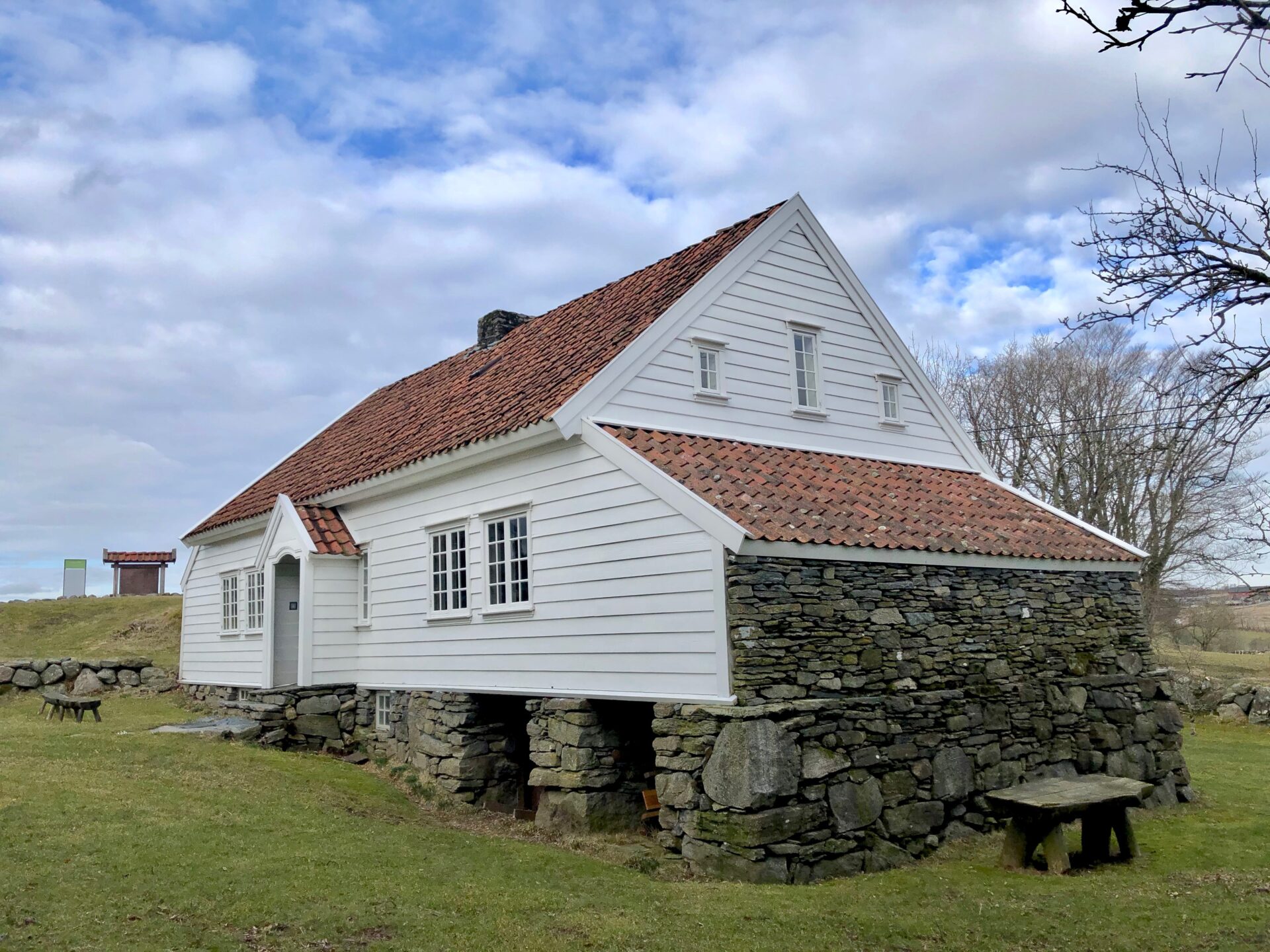
TRÆE PÅ LINE
TRÆE PÅ LINE – is probably the most painted and photographed house in the Jæren area.
One of my great-great-great-grandmother lived in this JÆRHUS in the 1800s!
- In the early 1800s, Johannes Ellingsen Hognestad, his wife Inger and seven children, lived at the farm “Træe på Line”. One of the children was a girl named Taletta,- she was my great-great-great-grandmother!
Genealogy is another interest that I have and about 5 years ago I was going on a tour to visit some of my ancestor’s farms in the Jæren area. One of the farms I was going to visit had the name “Træe på Line”- a cotter´s farm at Line.
When I came to the farm I realized that “Træe på Line” was a traditional Jærhus that had been restored and had become a museum! That was a big surprise to me!
The building is owned by the Municipality of Time and at their website, it says this about the house: ” It is probably the most painted and photographed house on Jæren”
It was not open to the public when I came to visit the place, neither then nor when I visited the farm in January. The museum is open only a short time in summer, on Sundays from July to mid of August. I am planning to take a guided tour now this summer.
Some other facts about TRÆE:
It is sited on the Line farm and dates from around 1780. The name Træe comes from tread, meaning also a place to tread. It was in use until just after 1900. It was thoroughly restored in 1997- and then became a museum.
Træe is a traditional Jæren house, with roof ridges pointing in southeast-northwest, as was the custom in those days. The living room is tiny, measuring just 3.5 by 3.5 metres. The kitchen has a pit and earth floor, connected to an oven in the living room. The roof is covered with handmade roof tiles. This type of building is characterised by a scanty use of timber, use of stone and straw covering, and a turf and birch bark roof. A traditional Jæren house often had a log construction, with end walls of stone, and an annex to house livestock. Here it extends underground and was just large enough for two cows and a manure drain.
Træe is located south of Bryne. Drive 2.7 km south from the roundabout on Rv 44 by the M44 in Bryne, and then turn off on county road 208A.
GARBORGESHEIMEN – THE HOME OF POET ARNE GARBORG

Garborgheimen is a typical Jærhus – and was built in 1848. The building has been protected under cultural heritage laws since 1938. It was the childhood home of poet Arne Garborg.
Garborgheimen is the birthplace and childhood home of poet Arne Garborg (1851-1924). The farmhouse was built by his parents between 1847 and 1848. At the age of 16, Arne Garborg gave up his right to inherit the farm and left home to work first as a teacher and late to study. He became one of the first writers to make a career of writing in the “Nynorsk” (new Norwegian) language.
The family sold the house and farm in 1869
Garborgheimen is a typical Jærhus – and the building has been protected under cultural heritage laws since 1938. It is owned by the Municipality of Time and was inaugurated as a museum in 1951. The furnishings are from the 1850s that provide an accurate impression of the author’s cultural and social background. Several of Garborg’s works have plots that focus on events in this house.
This historical building is located by Fv 505 between Bryne and Varhaug.
JÆREN WETLAND AREA – BIRD WATCHING
About half of the world’s natural wetlands have been partly or destroyed since the start of the industrial revolution in about 1850. Norway and Jæren are no exception to this sad statistic. Urbanization and efficient farming practices have resulted in several of the most productive wetlands becoming threatened with extinction.
In 1971 the first global agreement on the conservation of the world’s wetlands was signed in the Iranian city of Ramsar. The agreement, known as the Ramsar Convention, was signed by Norway and 159 other countries. In Norway and Svalbard, 37 wetland areas have been assigned Ramsar status and are protected by Norway’s Nature Diversity Act.
The Jæren wetlands system has international conservation status and comprises 22 lakes, marshes, and shallow saltwater sites. Protected Jæren wetland sites can be found from Randaberg municipality in the north to Hå in the south.
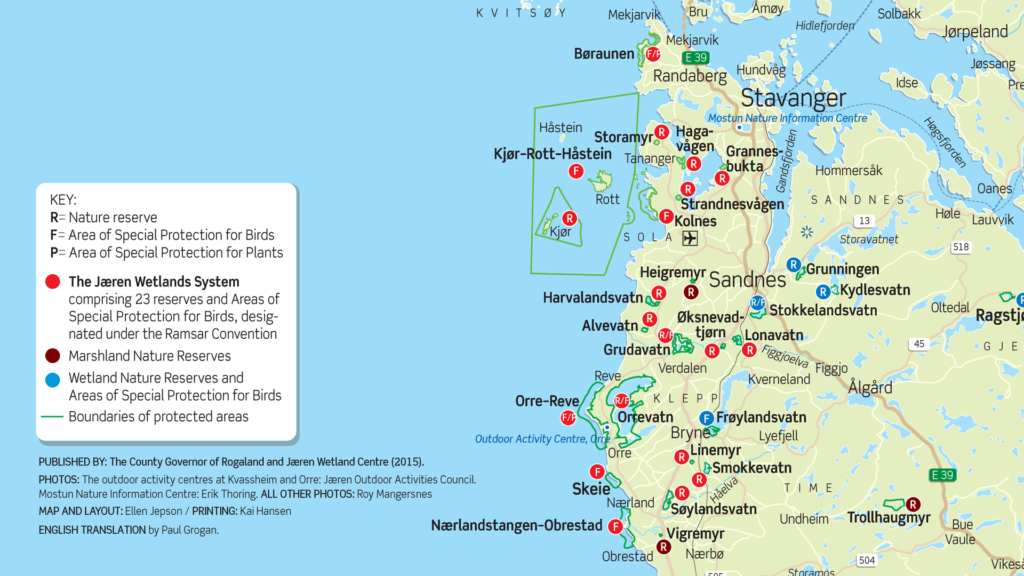
THE PROTECTED JÆREN WETLAND SITES
Name. Municipality. Habitat. Conservation designation. Year of designation.
- Alvevatn. Klepp. Lake. Nature reserve. 1996.
- Orrevatn. Klepp. Lake. Nature Reserve/Bird Protection Site. 1996.
- Lonavatn. Klepp/Sandnes. Lake. Nature Reserve. 1996. 3210.
- Øksnevadtjørn. Klepp. Lake. Nature Reserve. 1996. 126.
- Orre-Reve Landscape Conservation Area. Klepp. Beaches and shallow saltwater sites. Bird and Plant Protection Site. 2003.
- Grudavatn. Klepp. Lake. Nature Reserve/Bird Protection Site. 1974.
- Skeie. Klepp. Beaches and shallow saltwater sites. Landscape Conservation Area and Bird Protection Site. 2003.
- Bjårvatn. Hå. Lake. Nature Reserve. 1996.
- Søylandsvatn. Hå. Lake. Nature Reserve. 1996.
- Brusand/Ogna. Hå. Beaches and shallow saltwater sites. Landscape Conservation Area and Plant Protection Site. 2003.
- Kvassheim. Hå. Beaches and shallow saltwater sites. Landscape Conservation Area and Bird Protection Site. 2003.
- Nærlandstangen/Obrestad. Hå. Beaches and shallow saltwater sites. Landscape Conservation Area and Bird Protection Site. 2003. 2217.
- Vigremyr. Hå. Alkaline fen. Nature Reserve. 1986.
- Hagavågen. Sola. Shallow saltwater sites. Nature Reserve. 1996.
- Grannesbukta. Sola. Shallow saltwater sites. Nature Reserve. 1996.
- Strandnesvågen. Sola. Shallow saltwater sites. Nature Reserve. 1996.
- Harvalandsvatn. Sola. Lake. Nature Reserve. 1996.
- Storamyr. Sola. Flat fen. Nature Reserve. 1986.
- Kolnes. Sola. Shallow saltwater sites. Bird Protection Site. 2003.
- Linemyr. Time. Peat marsh. Nature Reserve. 1996. 59.
- Smokkevatn. Time. Lake. Nature Reserve. 1996. 255.
- Børaunen. Randaberg. Beaches and shallow saltwater sites. Landscape ConservationArea/Bird and Plant Protection Site. 2003.
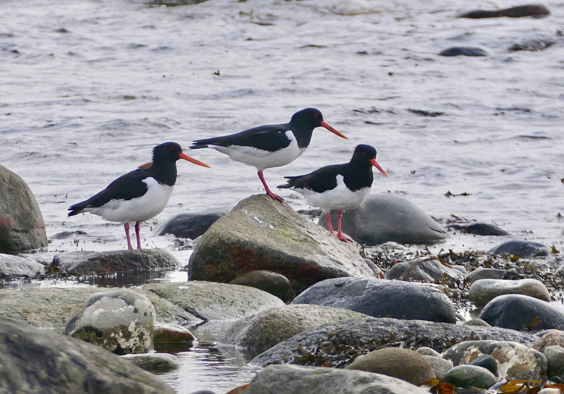
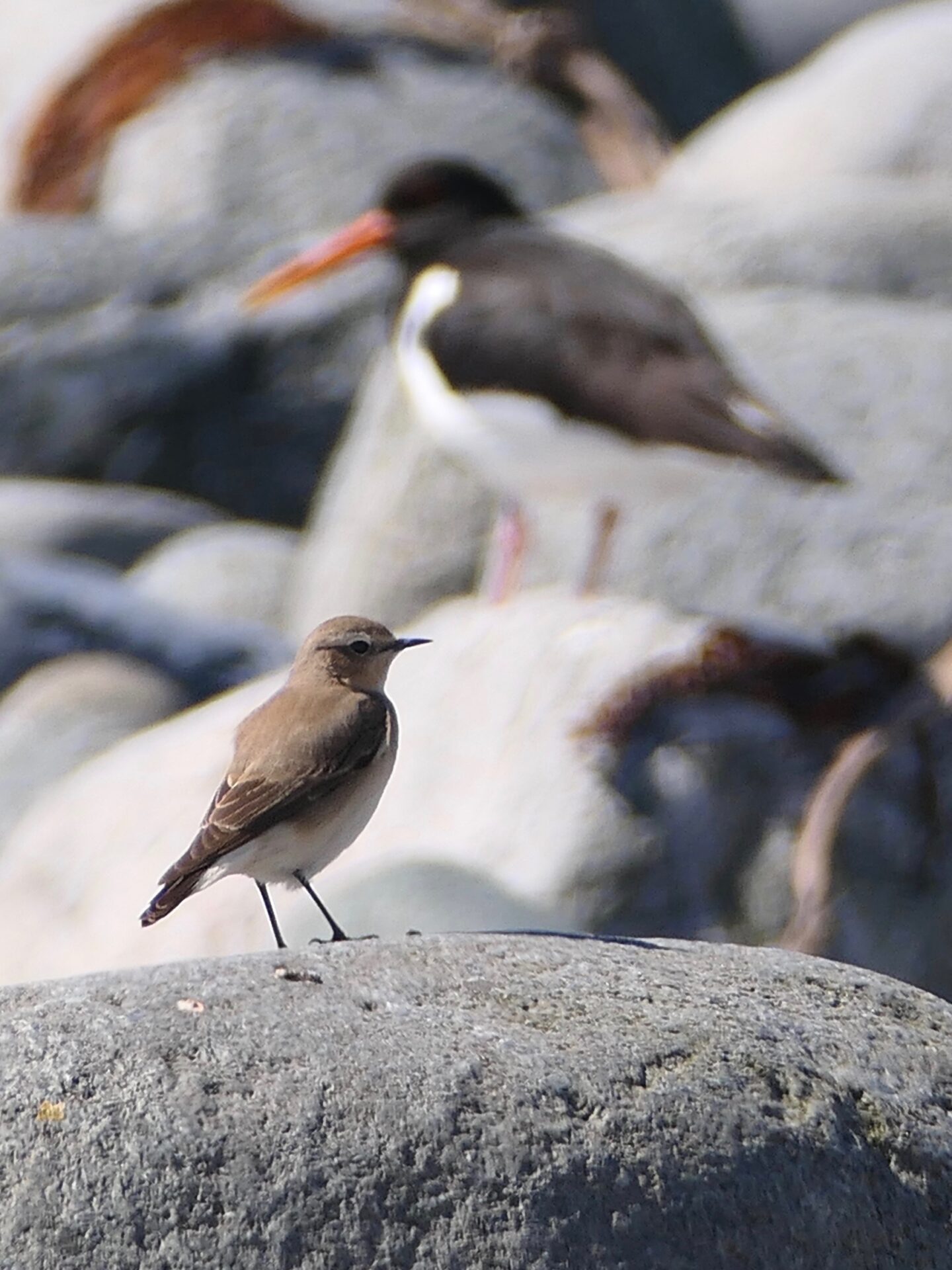
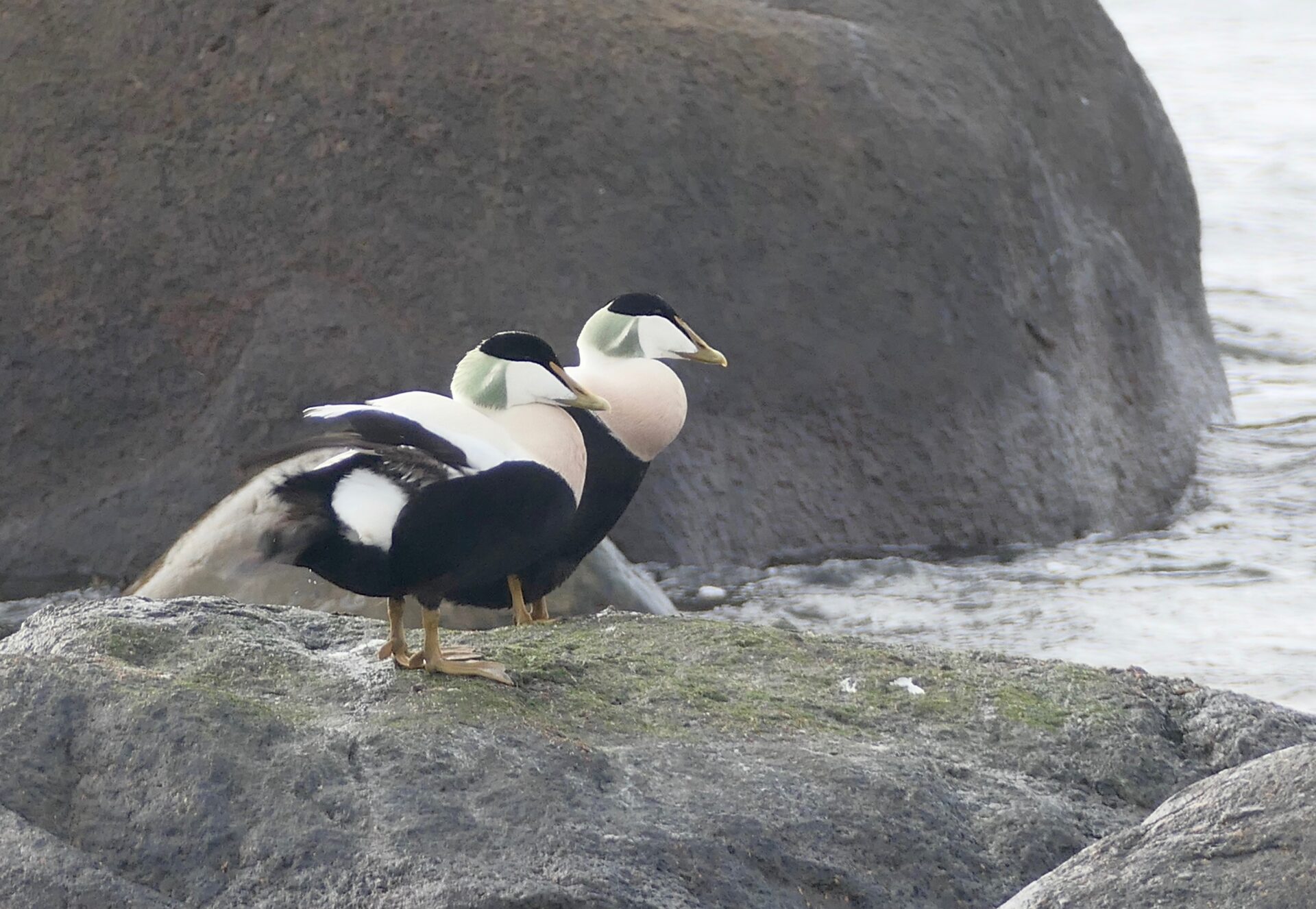
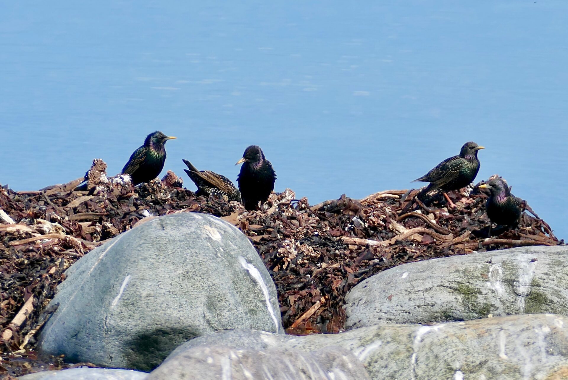
I have marked the Bird Protection Sites – but all these wetland sites have abundant birdlife and good opportunities to observe different kinds of birds. The most famous areas are perhaps Revtangen and Orrevatnet lake that is located by the sea. A great variety of birdlife is present here all year round, and there is a bird tower at Orreosen.
Revtangen is known as the Stavanger Museum’s ornithological station, where 6,000 – 10,000 birds are marked annually. The Revtangen Ornithological Station was established in 1937 and is the country’s and Scandinavia’s oldest. Ergavatnet lake just south of Orrevatnet also has abundant birdlife.
Bird towers at Øksnevadtjern and Lonavatn lakes
A little further north and east of Revtangen, lie Øksnevadtjern and Lonavatn lake, both of which are nature reserves and important nesting areas for wetland birds. There are bird towers both at Øksnevadtjern and Lonavatn lakes. Grudavatnet lake, between Orre and Øksnevad, is also a nature reserve where you can observe more rare birds. Synesvarden and the surrounding area are conservation areas. Birds who nest here are the southern marsh snipe and southern helo. In the area within Bjorvatnet lake at Brusand, there has been a large migration of birds of prey in recent years.
OTHER ATTRACTIONS:
Norwegian Scenic Route – JÆREN – with attractions like different beaches, lighthouses, Hå Old Vicarage, Varhaug Old church, and more.
Høg-Jæren (the inner part of Jæren) with Knudaheio – the summerhouse of the famous poet Arne Garborg, and the popular hike to Steinkjerringå.
